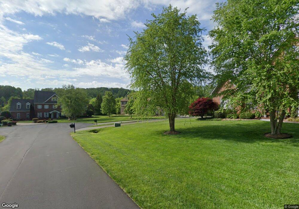
4903 Robdot Dr Oak Ridge, NC 27310
Estimated Value: $988,000 - $1,269,000
4
Beds
4
Baths
4,077
Sq Ft
$272/Sq Ft
Est. Value
About This Home
This home is located at 4903 Robdot Dr, Oak Ridge, NC 27310 and is currently estimated at $1,110,591, approximately $272 per square foot. 4903 Robdot Dr is a home located in Guilford County with nearby schools including Oak Ridge Elementary School, Northwest Guilford Middle School, and Northwest Guilford High School.
Ownership History
Date
Name
Owned For
Owner Type
Purchase Details
Closed on
Dec 13, 2004
Sold by
Building Dimensions Inc
Bought by
Mowery Paul E and Mowery Susan L
Current Estimated Value
Home Financials for this Owner
Home Financials are based on the most recent Mortgage that was taken out on this home.
Original Mortgage
$530,000
Outstanding Balance
$262,592
Interest Rate
5.57%
Mortgage Type
Construction
Estimated Equity
$847,999
Create a Home Valuation Report for This Property
The Home Valuation Report is an in-depth analysis detailing your home's value as well as a comparison with similar homes in the area
Home Values in the Area
Average Home Value in this Area
Purchase History
| Date | Buyer | Sale Price | Title Company |
|---|---|---|---|
| Mowery Paul E | -- | -- |
Source: Public Records
Mortgage History
| Date | Status | Borrower | Loan Amount |
|---|---|---|---|
| Open | Mowery Paul E | $530,000 |
Source: Public Records
Tax History
| Year | Tax Paid | Tax Assessment Tax Assessment Total Assessment is a certain percentage of the fair market value that is determined by local assessors to be the total taxable value of land and additions on the property. | Land | Improvement |
|---|---|---|---|---|
| 2025 | $6,884 | $737,700 | $70,000 | $667,700 |
| 2024 | $6,884 | $737,700 | $70,000 | $667,700 |
| 2023 | $6,884 | $737,700 | $70,000 | $667,700 |
| 2022 | $6,700 | $737,700 | $70,000 | $667,700 |
| 2021 | $6,327 | $696,700 | $50,000 | $646,700 |
| 2020 | $6,327 | $696,700 | $50,000 | $646,700 |
| 2019 | $6,327 | $696,700 | $0 | $0 |
| 2018 | $6,296 | $696,700 | $0 | $0 |
| 2017 | $6,296 | $696,700 | $0 | $0 |
| 2016 | $6,221 | $671,700 | $0 | $0 |
| 2015 | $6,254 | $671,700 | $0 | $0 |
| 2014 | $6,321 | $671,700 | $0 | $0 |
Source: Public Records
Map
Nearby Homes
- 5403 Effieham St
- 4530 Peeples Rd
- 3947 Cassillis Way Unit 106
- 3945 Cassillis Way Unit 105
- 3943 Cassillis Way Unit 104
- 3941 Cassillis Way Unit 103
- 8323 Lazy Sky Ln Unit 69
- 5193 Williard Rd
- 8319 Lazy Sky Ln Unit 71
- 3823 Kestrel Ln Unit 98
- 4913 Golden Oaks Dr
- 3821 Kestrel Ln Unit 97
- 3815 Kestrel Ln Unit 94
- 8303 Lazy Sky Ln Unit 121
- 8307 Lazy Sky Ln Unit 123
- 8305 Lazy Sky Ln Unit 122
- 3816 Kestrel Ln Unit 129
- 3817 Kestrel Ln Unit 95
- 3814 Kestrel Ln Unit 130
- 3813 Kestrel Ln Unit 93
- 4901 Robdot Dr
- 4907 Robdot Dr
- 4905 Robdot Dr
- 4909 Robdot Dr
- 4902 Robdot Dr
- 4904 Robdot Dr
- 8303 Banager Rd
- 8301 Banager Rd
- 4906 Robdot Dr
- 8305 Banager Rd
- 4903 Leadenhall Rd
- 4905 Leadenhall Rd
- 4908 Robdot Dr
- 4907 Leadenhall Rd
- 5000 Millstaff Dr
- 8302 Banager Rd
- 8300 Banager Rd
- 8201 Banager Rd
- 5000 Robdot Dr
- 5001 Millstaff Dr
Your Personal Tour Guide
Ask me questions while you tour the home.