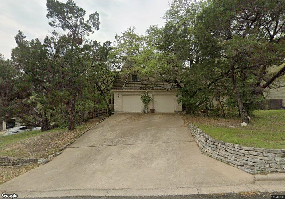
4903 Smokey Valley Unit A Austin, TX 78731
Cat Mountain NeighborhoodEstimated Value: $838,000 - $1,113,914
3
Beds
2
Baths
3,186
Sq Ft
$308/Sq Ft
Est. Value
About This Home
This home is located at 4903 Smokey Valley Unit A, Austin, TX 78731 and is currently estimated at $981,229, approximately $307 per square foot. 4903 Smokey Valley Unit A is a home located in Travis County with nearby schools including Doss Elementary School, Murchison Middle School, and Anderson High School.
Ownership History
Date
Name
Owned For
Owner Type
Purchase Details
Closed on
Aug 28, 2012
Sold by
Decarlo Andrew and Decarlo Francisca P
Bought by
Henderson Daniel H
Current Estimated Value
Home Financials for this Owner
Home Financials are based on the most recent Mortgage that was taken out on this home.
Original Mortgage
$280,500
Outstanding Balance
$194,003
Interest Rate
3.56%
Mortgage Type
New Conventional
Estimated Equity
$787,226
Create a Home Valuation Report for This Property
The Home Valuation Report is an in-depth analysis detailing your home's value as well as a comparison with similar homes in the area
Home Values in the Area
Average Home Value in this Area
Purchase History
| Date | Buyer | Sale Price | Title Company |
|---|---|---|---|
| Henderson Daniel H | -- | None Available |
Source: Public Records
Mortgage History
| Date | Status | Borrower | Loan Amount |
|---|---|---|---|
| Open | Henderson Daniel H | $280,500 |
Source: Public Records
Tax History Compared to Growth
Tax History
| Year | Tax Paid | Tax Assessment Tax Assessment Total Assessment is a certain percentage of the fair market value that is determined by local assessors to be the total taxable value of land and additions on the property. | Land | Improvement |
|---|---|---|---|---|
| 2025 | $13,917 | $813,434 | $567,584 | $245,850 |
| 2023 | $14,482 | $883,123 | $0 | $0 |
| 2022 | $16,333 | $826,995 | $0 | $0 |
| 2021 | $14,351 | $659,325 | $400,000 | $305,181 |
| 2020 | $11,962 | $557,700 | $400,000 | $157,700 |
| 2018 | $12,886 | $582,032 | $440,000 | $170,450 |
| 2017 | $11,224 | $503,286 | $220,000 | $283,286 |
| 2016 | $10,683 | $479,047 | $220,000 | $259,047 |
| 2015 | $10,548 | $447,574 | $220,000 | $227,574 |
| 2014 | $10,548 | $443,243 | $242,000 | $201,243 |
Source: Public Records
Map
Nearby Homes
- 6602 Cat Creek Trail
- 6706 Fort Davis Cove
- 6706 Fort Davis Cove Unit A
- 6706 Fort Davis Cove Unit B
- 4906 Bob Cat Run
- 6905 Ladera Norte
- 6302 Gato Path
- 4324 Far Blvd W
- 7111 Valburn Dr
- 6321 Lakewood Dr
- 7108 Las Ventanas Dr
- 4207 Canyonside Trail
- 5300 N Scout Island Cir
- 6601 N Capital of Texas Hwy
- 5901 Inter Council Cove
- 4107 N Hills Dr
- 4603 Lime Stone Cir
- 6219 Ledge Mountain Dr
- 5712 Sam Houston Cir
- 6220 Ledge Mountain Dr
- 4903 Smokey Valley Unit B
- 4903 Smokey Valley
- 4905 Smokey Valley Unit B
- 4905 Smokey Valley
- 4905 Smokey Valley Unit A
- 4901 Smokey Valley Unit A
- 4901 Smokey Valley Unit B
- 4901 Smokey Valley
- 6506 Cat Creek Trail
- 6504 Cat Creek Trail
- 6511 Ladera Norte
- 6513 Ladera Norte
- 6509 Ladera Norte
- 4907 Smokey Valley
- 4902 Smokey Valley Unit B
- 4902 Smokey Valley Unit A
- 4902 Smokey Valley
- 6515 Ladera Norte
- 4904 Smokey Valley Unit A
- 4904 Smokey Valley