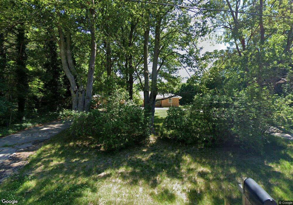
4904 Sand Dr Holland, MI 49424
Estimated Value: $415,000 - $514,000
3
Beds
2
Baths
1,428
Sq Ft
$319/Sq Ft
Est. Value
About This Home
This home is located at 4904 Sand Dr, Holland, MI 49424 and is currently estimated at $455,340, approximately $318 per square foot. 4904 Sand Dr is a home located in Ottawa County with nearby schools including Lakeshore Elementary School, Harbor Lights Middle School, and West Ottawa High School.
Ownership History
Date
Name
Owned For
Owner Type
Purchase Details
Closed on
Jan 26, 2015
Sold by
Sluiter Joan
Bought by
Joint Joan S and Sluiter Joan
Current Estimated Value
Home Financials for this Owner
Home Financials are based on the most recent Mortgage that was taken out on this home.
Interest Rate
3.63%
Purchase Details
Closed on
Mar 18, 2003
Sold by
Owens Nancy and Emerick Stanley
Bought by
Smith Scott and Smith Jo Ann
Home Financials for this Owner
Home Financials are based on the most recent Mortgage that was taken out on this home.
Original Mortgage
$160,000
Interest Rate
5.95%
Mortgage Type
Purchase Money Mortgage
Create a Home Valuation Report for This Property
The Home Valuation Report is an in-depth analysis detailing your home's value as well as a comparison with similar homes in the area
Home Values in the Area
Average Home Value in this Area
Purchase History
| Date | Buyer | Sale Price | Title Company |
|---|---|---|---|
| Joint Joan S | $1 | -- | |
| Smith Scott | $200,000 | -- |
Source: Public Records
Mortgage History
| Date | Status | Borrower | Loan Amount |
|---|---|---|---|
| Closed | Joint Joan S | -- | |
| Previous Owner | Smith Scott | $160,000 |
Source: Public Records
Tax History Compared to Growth
Tax History
| Year | Tax Paid | Tax Assessment Tax Assessment Total Assessment is a certain percentage of the fair market value that is determined by local assessors to be the total taxable value of land and additions on the property. | Land | Improvement |
|---|---|---|---|---|
| 2025 | $3,042 | $205,900 | $0 | $0 |
| 2024 | $2,583 | $190,400 | $0 | $0 |
| 2023 | $2,492 | $157,900 | $0 | $0 |
| 2022 | $2,847 | $137,100 | $0 | $0 |
| 2021 | $2,771 | $126,300 | $0 | $0 |
| 2020 | $2,692 | $122,100 | $0 | $0 |
| 2019 | $2,581 | $113,600 | $0 | $0 |
| 2018 | -- | $104,900 | $0 | $0 |
| 2017 | -- | $104,900 | $0 | $0 |
| 2016 | -- | $100,700 | $0 | $0 |
| 2015 | -- | $92,800 | $0 | $0 |
| 2014 | -- | $88,400 | $0 | $0 |
Source: Public Records
Map
Nearby Homes
- 0 0 Butternut Dr (Parcel B)
- 0 Butternut Dr (Parcel A)
- 5113 152nd Ave
- 0 Butternut Dr Unit 25050553
- 0 Butternut Dr Unit 24054347
- 5195 Sand Dr
- 5577 Timberstone Ln
- 16183 Red Pine Ct
- VL Barry St Unit Par 4
- VL Barry St Unit Par 3
- VL Barry St Unit Par 2
- 6060 152nd Ave
- 0 Butternut Dr (Parcel B)
- 4040 Estate Dr
- 14236 Phoenix Place
- 3681 N 160th Ave
- 16557 Sheldon Sands Ct
- 4673 MacAtawa Legends Blvd
- 3981 Tall Grass West Ct
- 4728 MacAtawa Legends Blvd Unit 19
- 4841 Sand Dr
- 15583 New Holland St
- 4838 Sand Dr
- 4971 Sand Dr
- 15455 New Holland St
- 4948 Sand Dr
- 15615 Coyote Crossing
- 5000 Sand Dr
- 4835 Sand Dr
- 15597 New Holland St
- 15637 Coyote Crossing
- 15651 New Holland St
- 15416 New Holland St
- 15488 New Holland St
- 15635 New Holland St
- 15635 New Holland St
- 15550 New Holland St
- 4836 Butternut Dr
- 15408 New Holland St
- 4874 Butternut Dr