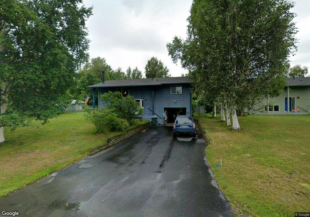
4905 E Timothy Ln Wasilla, AK 99654
Gateway NeighborhoodEstimated Value: $312,000 - $375,375
--
Bed
--
Bath
1,044
Sq Ft
$331/Sq Ft
Est. Value
About This Home
This home is located at 4905 E Timothy Ln, Wasilla, AK 99654 and is currently estimated at $345,344, approximately $330 per square foot. 4905 E Timothy Ln is a home located in Matanuska-Susitna Borough with nearby schools including Fred & Sara Machetanz Elementary School, Teeland Middle School, and Colony High School.
Ownership History
Date
Name
Owned For
Owner Type
Purchase Details
Closed on
Aug 2, 2004
Sold by
Johnson Joe A and Johnson Nancy K
Bought by
Honner Michael R and Honner Charlotte T
Current Estimated Value
Home Financials for this Owner
Home Financials are based on the most recent Mortgage that was taken out on this home.
Original Mortgage
$157,731
Outstanding Balance
$79,718
Interest Rate
6.29%
Mortgage Type
FHA
Estimated Equity
$265,626
Create a Home Valuation Report for This Property
The Home Valuation Report is an in-depth analysis detailing your home's value as well as a comparison with similar homes in the area
Home Values in the Area
Average Home Value in this Area
Purchase History
| Date | Buyer | Sale Price | Title Company |
|---|---|---|---|
| Honner Michael R | -- | -- |
Source: Public Records
Mortgage History
| Date | Status | Borrower | Loan Amount |
|---|---|---|---|
| Open | Honner Michael R | $157,731 |
Source: Public Records
Tax History Compared to Growth
Tax History
| Year | Tax Paid | Tax Assessment Tax Assessment Total Assessment is a certain percentage of the fair market value that is determined by local assessors to be the total taxable value of land and additions on the property. | Land | Improvement |
|---|---|---|---|---|
| 2025 | $2,940 | $246,900 | $25,000 | $221,900 |
| 2024 | $2,940 | $235,700 | $25,000 | $210,700 |
| 2023 | $2,813 | $230,900 | $25,000 | $205,900 |
| 2022 | $2,729 | $210,200 | $25,000 | $185,200 |
| 2021 | $2,665 | $185,400 | $25,000 | $160,400 |
| 2020 | $2,582 | $174,100 | $25,000 | $149,100 |
| 2019 | $2,464 | $164,700 | $25,000 | $139,700 |
| 2018 | $2,436 | $163,700 | $25,000 | $138,700 |
| 2017 | $2,309 | $155,200 | $25,000 | $130,200 |
| 2016 | $2,220 | $153,000 | $25,000 | $128,000 |
| 2015 | $2,553 | $152,100 | $24,000 | $128,100 |
| 2014 | $2,553 | $138,100 | $24,000 | $114,100 |
Source: Public Records
Map
Nearby Homes
- 2078 S Withers Rd
- 5740 E Blue Lupine Dr
- 940 S Serrano Dr
- 850 S Hassler Dr
- 2720 S Capon Place
- 5794 E Morning Mist Dr
- 3241 S Barn Gable Loop
- 495 S Harriette St
- 5044 E Loft Cir
- 530 S Harriette St
- 6693 E Blue Lupine Dr
- 2206 S Sanctuary Dr
- 3261 S Charming Valley Loop
- 2154 S Sanctuary Dr
- 2317 S Sanctuary Dr
- 2445 S Sanctuary Dr
- 3401 E Naomi Ave
- 6645 E Gateway Dr
- 3101 E Sun Mountain Ave
- 1571 S Middle Mesa Dr
- 4925 E Timothy Ln
- 4881 E Timothy Ln
- 4949 E Timothy Ln
- 4860 E Rhubarb Cir
- 4926 E Timothy Ln
- 4904 E Timothy Ln
- 4926 E Rhubarb Cir
- 4860 E Timothy Ln
- 1710 S Abby Blvd
- 4882 E Timothy Ln
- 4970 E Rhubarb Cir
- 4948 E Timothy Ln
- 000 Paddock
- 4851 E Rhubarb Cir
- L20 B08 Paddock
- 4865 E Rhubarb Cir
- 4881 E Rhubarb Cir
- 4911 E Rhubarb Cir
- 1770 S Abby Blvd
- 4895 E Rhubarb Cir