4906 Auston St Springfield, OH 45502
Estimated Value: $175,794 - $186,000
2
Beds
2
Baths
1,252
Sq Ft
$146/Sq Ft
Est. Value
About This Home
This home is located at 4906 Auston St, Springfield, OH 45502 and is currently estimated at $182,449, approximately $145 per square foot. 4906 Auston St is a home located in Clark County with nearby schools including Northridge Elementary School, Kenton Ridge Middle & High School, and Emmanuel Christian Academy.
Ownership History
Date
Name
Owned For
Owner Type
Purchase Details
Closed on
Jun 24, 2016
Sold by
Fay Ray William H and Fay Ray
Bought by
Richards George Frank and Richards Linda M
Current Estimated Value
Purchase Details
Closed on
Sep 1, 1992
Bought by
Ray Helen Fay
Create a Home Valuation Report for This Property
The Home Valuation Report is an in-depth analysis detailing your home's value as well as a comparison with similar homes in the area
Home Values in the Area
Average Home Value in this Area
Purchase History
| Date | Buyer | Sale Price | Title Company |
|---|---|---|---|
| Richards George Frank | $84,900 | Team Title Closing Services | |
| Ray Helen Fay | $64,600 | -- |
Source: Public Records
Tax History
| Year | Tax Paid | Tax Assessment Tax Assessment Total Assessment is a certain percentage of the fair market value that is determined by local assessors to be the total taxable value of land and additions on the property. | Land | Improvement |
|---|---|---|---|---|
| 2025 | $953 | $50,300 | $7,050 | $43,250 |
| 2024 | $948 | $31,590 | $6,130 | $25,460 |
| 2023 | $948 | $31,590 | $6,130 | $25,460 |
| 2022 | $0 | $31,590 | $6,130 | $25,460 |
| 2021 | $1,093 | $30,530 | $4,380 | $26,150 |
| 2020 | $1,094 | $30,530 | $4,380 | $26,150 |
| 2019 | $1,115 | $30,530 | $4,380 | $26,150 |
| 2018 | $987 | $27,270 | $4,990 | $22,280 |
| 2017 | $847 | $25,733 | $4,988 | $20,745 |
| 2016 | $841 | $25,733 | $4,988 | $20,745 |
| 2015 | $389 | $25,995 | $5,250 | $20,745 |
| 2014 | $188 | $25,995 | $5,250 | $20,745 |
| 2013 | $380 | $25,995 | $5,250 | $20,745 |
Source: Public Records
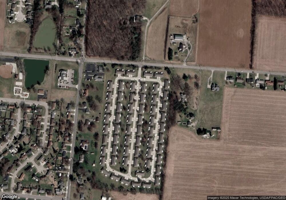
Map
Nearby Homes
- 4890 Brannan Dr W Unit 4890
- 4732 Lehigh Dr
- 4652 Reno Ln Unit 15
- 4500 Bosart Rd
- 4577 Reno Ln Unit 2
- 5033 Ridgewood Rd E
- 1521 Erika Dr
- 4446 Ridgewood Rd E Unit 3
- 1977 Willoughby Ave
- 5564 Ridgewood Rd E Unit 7
- 4322 Midfield St Unit 15
- 5235 W Ridgewood Rd
- 1495 Victorian Way
- 4802 Willowbrook Dr
- 4256 Midfield St Unit 9
- 1341 Student Ave
- 1644 Delmar Dr
- 5564 Ridgewood Rd W
- 4028 Ryland Dr Unit 4028
- 4741 Cullen Ave
- 4908 Auston St Unit 4908
- 4896 Auston St
- 4918 Auston St Unit 4918
- 4905 Auston St
- 4894 Auston St
- 4907 Auston St
- 4907 Auston St
- 4907 Auston St
- 4897 Brannan Dr E
- 4899 Brannan Dr E
- 4895 Auston St Unit 4895
- 4887 Brannan Dr E Unit 4887
- 4887 Brannan Dr E
- 4920 Auston St
- 4917 Auston St
- 4893 Auston St
- 4885 Brannan Dr E Unit 4885
- 4909 Brannan Dr E Unit 4909
- 4884 Auston St Unit 4884
- 4919 Auston St
Your Personal Tour Guide
Ask me questions while you tour the home.