Estimated Value: $166,000 - $182,000
3
Beds
2
Baths
1,366
Sq Ft
$129/Sq Ft
Est. Value
About This Home
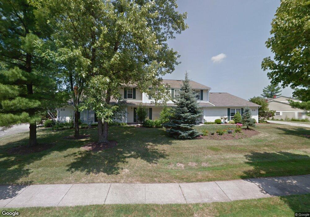
This home is located at 4906 Independence Cir, Stow, OH 44224 and is currently estimated at $176,056, approximately $128 per square foot. 4906 Independence Cir is a home located in Summit County with nearby schools including Stow-Munroe Falls High School, Primrose School of Hudson, and Holy Family Elementary School.
Ownership History
Date
Name
Owned For
Owner Type
Purchase Details
Closed on
Jul 3, 2012
Sold by
Soldierson Mary Ann
Bought by
Adrian Renee D
Current Estimated Value
Home Financials for this Owner
Home Financials are based on the most recent Mortgage that was taken out on this home.
Original Mortgage
$64,000
Outstanding Balance
$45,444
Interest Rate
3.83%
Mortgage Type
New Conventional
Estimated Equity
$133,452
Create a Home Valuation Report for This Property
The Home Valuation Report is an in-depth analysis detailing your home's value as well as a comparison with similar homes in the area
Home Values in the Area
Average Home Value in this Area
Purchase History
| Date | Buyer | Sale Price | Title Company |
|---|---|---|---|
| Adrian Renee D | $80,000 | None Available |
Source: Public Records
Mortgage History
| Date | Status | Borrower | Loan Amount |
|---|---|---|---|
| Open | Adrian Renee D | $64,000 | |
| Previous Owner | Soldierson Mary Ann | $0 |
Source: Public Records
Tax History Compared to Growth
Tax History
| Year | Tax Paid | Tax Assessment Tax Assessment Total Assessment is a certain percentage of the fair market value that is determined by local assessors to be the total taxable value of land and additions on the property. | Land | Improvement |
|---|---|---|---|---|
| 2025 | $2,855 | $50,166 | $5,075 | $45,091 |
| 2024 | $2,855 | $50,166 | $5,075 | $45,091 |
| 2023 | $2,855 | $50,166 | $5,075 | $45,091 |
| 2022 | $2,368 | $36,621 | $3,707 | $32,914 |
| 2021 | $2,124 | $36,621 | $3,707 | $32,914 |
| 2020 | $2,088 | $36,620 | $3,710 | $32,910 |
| 2019 | $1,663 | $27,060 | $3,670 | $23,390 |
| 2018 | $1,636 | $27,060 | $3,610 | $23,450 |
| 2017 | $1,495 | $27,060 | $3,610 | $23,450 |
| 2016 | $1,538 | $23,950 | $3,610 | $20,340 |
| 2015 | $1,495 | $23,950 | $3,610 | $20,340 |
| 2014 | $1,496 | $23,950 | $3,610 | $20,340 |
| 2013 | $1,821 | $29,560 | $3,610 | $25,950 |
Source: Public Records
Map
Nearby Homes
- 4914 Independence Cir Unit D
- 4901 Independence Cir Unit B
- 4926 Independence Cir Unit C
- 4739 Emerald Woods Dr
- 2591 Jefferson Place Unit C
- 2598 Jefferson Place Unit A
- 2426 Wrens Dr S Unit 2C
- 4923 Heights Dr
- 4697 Maple Spur Dr Unit 4701
- 0 Stow Rd Unit 5102979
- 4575 Fishcreek Rd
- 4909 Garnet Cir
- 4293 N Gilwood Dr
- 2844 Williamsburg Cir
- 4231 Hile Rd
- 2678 Duquesne Dr
- 4453 Kenneth Trail
- 2152 Arndale Rd
- 4314 Cheval Cir
- 2140 Woodlawn Cir Unit 2144
- 4906 Independence Cir
- 4906 Independence Cir Unit C34
- 4906 Independence Cir
- 4906 Independence Cir Unit C
- 4906 Independence Cir Unit B
- 4906 Independence Cir Unit A
- 4915 Friar Rd Unit 24D
- 4915 Friar Rd Unit 24B
- 4915 Friar Rd Unit 24A
- 4915 Friar Rd
- 4915 Friar Rd Unit B
- 4915 Friar Rd Unit D
- 4915 Friar Rd Unit A
- 4910 Independence Cir Unit 33A
- 4910 Independence Cir Unit 33B
- 4910 Independence Cir
- 4910 Independence Cir Unit 33D
- 4910 Independence Cir Unit B
- 4910 Independence Cir Unit A
- 4910 Independence Cir Unit D