4907 Auston St Springfield, OH 45502
Estimated Value: $183,113 - $191,000
2
Beds
2
Baths
1,252
Sq Ft
$149/Sq Ft
Est. Value
About This Home
This home is located at 4907 Auston St, Springfield, OH 45502 and is currently estimated at $186,778, approximately $149 per square foot. 4907 Auston St is a home located in Clark County with nearby schools including Northridge Elementary School, Kenton Ridge Middle & High School, and Emmanuel Christian Academy.
Ownership History
Date
Name
Owned For
Owner Type
Purchase Details
Closed on
Aug 23, 2017
Sold by
Schalnat Sarah K and Ivory Sarah K
Bought by
Anderson Tanya S and Anderson Eric B
Current Estimated Value
Purchase Details
Closed on
Jan 4, 1993
Bought by
Perkins Millard
Create a Home Valuation Report for This Property
The Home Valuation Report is an in-depth analysis detailing your home's value as well as a comparison with similar homes in the area
Home Values in the Area
Average Home Value in this Area
Purchase History
| Date | Buyer | Sale Price | Title Company |
|---|---|---|---|
| Anderson Tanya S | $94,500 | None Available | |
| Perkins Millard | $125,000 | -- |
Source: Public Records
Tax History
| Year | Tax Paid | Tax Assessment Tax Assessment Total Assessment is a certain percentage of the fair market value that is determined by local assessors to be the total taxable value of land and additions on the property. | Land | Improvement |
|---|---|---|---|---|
| 2025 | $1,362 | $53,310 | $7,050 | $46,260 |
| 2024 | $1,317 | $31,150 | $6,130 | $25,020 |
| 2023 | $1,317 | $31,150 | $6,130 | $25,020 |
| 2022 | $1,322 | $31,150 | $6,130 | $25,020 |
| 2021 | $1,515 | $30,210 | $4,380 | $25,830 |
| 2020 | $1,517 | $30,210 | $4,380 | $25,830 |
| 2019 | $1,545 | $30,210 | $4,380 | $25,830 |
| 2018 | $1,438 | $26,980 | $4,990 | $21,990 |
| 2017 | $1,232 | $25,453 | $4,988 | $20,465 |
| 2016 | $1,224 | $25,453 | $4,988 | $20,465 |
| 2015 | $1,176 | $25,715 | $5,250 | $20,465 |
| 2014 | $1,176 | $25,715 | $5,250 | $20,465 |
| 2013 | $1,148 | $25,715 | $5,250 | $20,465 |
Source: Public Records
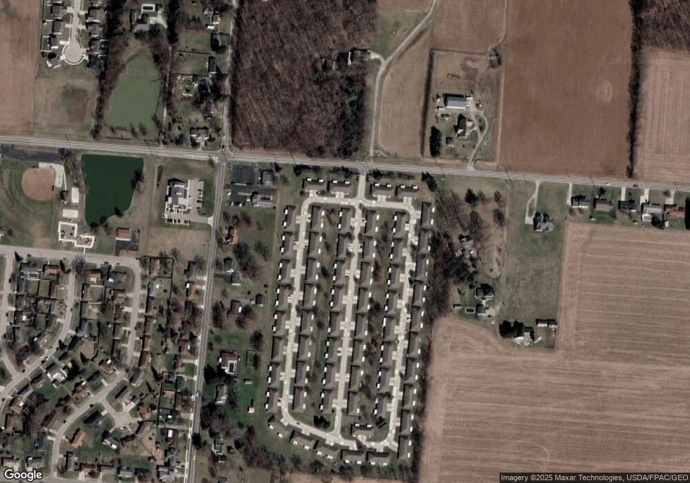
Map
Nearby Homes
- 1709 Thomas Dr
- 4652 Reno Ln Unit 15
- 5033 Ridgewood Rd E
- 4500 Bosart Rd
- 1521 Erika Dr
- 4446 Ridgewood Rd E Unit 3
- 1707 Berwick Dr
- 1836 Dunseth Ln
- 5564 Ridgewood Rd E Unit 7
- 4802 Willowbrook Dr
- 4256 Midfield St Unit 9
- 1341 Student Ave
- 1812 Willow Lakes Dr
- 3969 Covington Dr Unit 3969
- 4741 Cullen Ave
- 5564 Ridgewood Rd W
- 5722 Victorian Way Unit 31
- 4028 Ryland Dr Unit 4028
- 4343 Burchill St
- 1470 Oldham Dr Unit 12
- 4907 Auston St
- 4907 Auston St
- 4905 Auston St
- 4917 Auston St
- 4908 Auston St Unit 4908
- 4895 Auston St Unit 4895
- 4919 Auston St
- 4906 Auston St
- 4916 Brannan Dr W
- 4918 Auston St Unit 4918
- 4914 Brannan Dr W
- 4926 Brannan Dr W
- 4896 Auston St
- 4893 Auston St
- 4920 Auston St
- 4928 Brannan Dr W
- 4904 Brannan Dr W Unit 4904
- 4894 Auston St
- 4902 Brannan Dr W Unit 4902
- 4883 Auston St Unit 4883
Your Personal Tour Guide
Ask me questions while you tour the home.