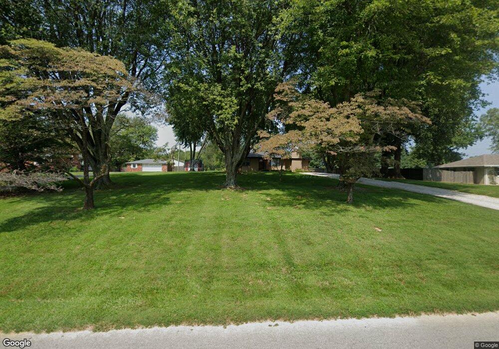
4907 State Route 1078 N Henderson, KY 42420
Estimated Value: $197,000 - $232,507
3
Beds
2
Baths
1,323
Sq Ft
$161/Sq Ft
Est. Value
About This Home
This home is located at 4907 State Route 1078 N, Henderson, KY 42420 and is currently estimated at $213,627, approximately $161 per square foot. 4907 State Route 1078 N is a home located in Henderson County with nearby schools including Spottsville Elementary School, Henderson County North Middle School, and Henderson County High School.
Ownership History
Date
Name
Owned For
Owner Type
Purchase Details
Closed on
Jan 27, 2010
Sold by
Ash Shannon R
Bought by
Stone Derrick G
Current Estimated Value
Home Financials for this Owner
Home Financials are based on the most recent Mortgage that was taken out on this home.
Original Mortgage
$115,900
Outstanding Balance
$77,203
Interest Rate
5.16%
Mortgage Type
New Conventional
Estimated Equity
$136,424
Purchase Details
Closed on
Nov 7, 2007
Sold by
Ash Gary M
Bought by
Ash Shannon R
Home Financials for this Owner
Home Financials are based on the most recent Mortgage that was taken out on this home.
Original Mortgage
$111,000
Interest Rate
6.29%
Mortgage Type
New Conventional
Create a Home Valuation Report for This Property
The Home Valuation Report is an in-depth analysis detailing your home's value as well as a comparison with similar homes in the area
Home Values in the Area
Average Home Value in this Area
Purchase History
| Date | Buyer | Sale Price | Title Company |
|---|---|---|---|
| Stone Derrick G | $122,000 | None Available | |
| Ash Shannon R | -- | Liberty Title Services Llp |
Source: Public Records
Mortgage History
| Date | Status | Borrower | Loan Amount |
|---|---|---|---|
| Open | Stone Derrick G | $115,900 | |
| Previous Owner | Ash Shannon R | $111,000 |
Source: Public Records
Tax History Compared to Growth
Tax History
| Year | Tax Paid | Tax Assessment Tax Assessment Total Assessment is a certain percentage of the fair market value that is determined by local assessors to be the total taxable value of land and additions on the property. | Land | Improvement |
|---|---|---|---|---|
| 2024 | $1,979 | $174,000 | $0 | $0 |
| 2023 | $1,721 | $149,000 | $0 | $0 |
| 2022 | $1,706 | $125,000 | $0 | $0 |
| 2021 | $1,441 | $125,000 | $0 | $0 |
| 2020 | $1,410 | $125,000 | $0 | $0 |
| 2019 | $1,385 | $125,000 | $0 | $0 |
| 2018 | $1,387 | $125,000 | $0 | $0 |
| 2017 | $1,357 | $125,000 | $0 | $0 |
| 2016 | $1,234 | $125,000 | $0 | $0 |
| 2014 | $1,133 | $125,000 | $25,000 | $100,000 |
Source: Public Records
Map
Nearby Homes
- 6070 Larue Rd
- 7394 Rucker Road 1 E
- 8441 N 1078
- 8441 State Route 1078 N
- 3873 Ridgelane Dr
- 7880 Westbury Ct
- 7895 Westbury Ct
- 4334 Saint Olaf Cir
- 4354 St Olaf Cir
- 3998 Kentucky 351
- 1036 Ernest Ln
- 4210 Deepwood Dr
- 7164 & 7170 Airline Rd
- 400 Spring Garden Rd Unit Road
- 400 Hearthstone Ln
- 541 Blue Heron Ln
- 6865 Old Henderson Spottsville Rd
- 15475 Middle Delaware Rd
- 8964 Old Hwy 60 E
- 2300 Vanguard Ave
- 4925 State Route 1078 N
- 4887 State Route 1078 N
- 6512 Tandy Ln
- 4920 State Route 1078 N
- 4910 State Route 1078 N
- 4939 State Route 1078 N
- 4900 State Route 1078 N
- 4865 State Route 1078 N
- 4862 State Route 1078 N
- 4948 State Route 1078 N
- 4957 State Route 1078 N
- 6515 Tandy Ln
- 6518 Tandy Ln
- 4848 State Route 1078 N
- 4849 State Route 1078 N
- 4968 State Route 1078 N
- 6519 Tandy Ln
- 4977 State Route 1078 N
- 4986 State Route 1078 N
- 6524 Tandy Ln