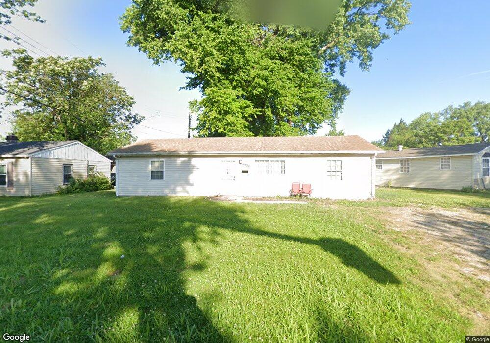
4908 Pearl Ave East Saint Louis, IL 62207
Estimated Value: $44,000 - $109,000
--
Bed
--
Bath
1,200
Sq Ft
$61/Sq Ft
Est. Value
About This Home
This home is located at 4908 Pearl Ave, East Saint Louis, IL 62207 and is currently estimated at $72,826, approximately $60 per square foot. 4908 Pearl Ave is a home with nearby schools including Katie Harper-Wright Elementary School, Mason/Clark Middle School, and East St Louis Senior High School.
Ownership History
Date
Name
Owned For
Owner Type
Purchase Details
Closed on
Nov 16, 2022
Sold by
Wynn Kendall and Dowell Shannon
Bought by
Wynn Kendall and Dowell John E
Current Estimated Value
Purchase Details
Closed on
Sep 28, 2022
Sold by
St Clair County
Bought by
Wynn Kendall and Dowell Shannon
Purchase Details
Closed on
Sep 29, 2021
Sold by
Shannon Wynn Dowell and Shannon Kendall
Bought by
St Clair County and Trust No 02 32 0 124 035
Purchase Details
Closed on
Nov 22, 2006
Sold by
St Clair County
Bought by
Dowell Shannon and Wynn Kendall
Create a Home Valuation Report for This Property
The Home Valuation Report is an in-depth analysis detailing your home's value as well as a comparison with similar homes in the area
Home Values in the Area
Average Home Value in this Area
Purchase History
| Date | Buyer | Sale Price | Title Company |
|---|---|---|---|
| Wynn Kendall | -- | None Available | |
| Wynn Kendall | -- | None Available | |
| St Clair County | -- | Attorney | |
| Dowell Shannon | -- | None Available |
Source: Public Records
Tax History Compared to Growth
Tax History
| Year | Tax Paid | Tax Assessment Tax Assessment Total Assessment is a certain percentage of the fair market value that is determined by local assessors to be the total taxable value of land and additions on the property. | Land | Improvement |
|---|---|---|---|---|
| 2024 | $2,452 | $15,296 | $460 | $14,836 |
| 2023 | $2,273 | $13,825 | $416 | $13,409 |
| 2022 | $2,120 | $12,117 | $365 | $11,752 |
| 2021 | $0 | $102 | $51 | $51 |
| 2020 | $2,215 | $12,028 | $363 | $11,665 |
| 2019 | $2,288 | $12,028 | $363 | $11,665 |
| 2018 | $2,367 | $12,203 | $368 | $11,835 |
| 2017 | $1,155 | $11,909 | $359 | $11,550 |
| 2016 | $73 | $358 | $358 | $0 |
| 2014 | $65 | $354 | $354 | $0 |
| 2013 | $49 | $332 | $332 | $0 |
Source: Public Records
Map
Nearby Homes
- 604 West Ave
- 5413 Nelson Ave
- 6330 Church Rd
- 1927 Bond Ave
- 3325 Bond Ave
- 3300 Mccasland Ave
- 2953 Virginia Place
- 2372 Lorraine Dr
- 2416 Lorraine Dr
- 2274 Carol St
- 2626 Missouri Ave
- 1997 Oak Tree Ln
- 28 Louise Ln
- 34 Marilyn Ln
- 23 Agnes Dr
- 22 Marilyn Ln
- 2380 Carol St
- 3125 Louisiana Blvd
- 19 Agnes Dr
- 2014 Florence St
- 4906 Pearl Ave
- 4910 Pearl Ave
- 4905 Piggott Ave
- 4904 Pearl Ave
- 4913 Pearl Ave
- 4909 Pearl Ave
- 4900 Pearl Ave
- 4907 Pearl Ave
- 4917 Pearl Ave
- 4905 Pearl Ave
- 4902 Piggott Ave
- 4906 Piggott Ave
- 4908 Piggott Ave
- 4901 Pearl Ave
- 4911 Piggott Ave
- 3 Pearl Ct
- 4910 Piggott Ave
- 4 Pearl Ct
- 2 Pearl Ct
- 4912 Piggott Ave