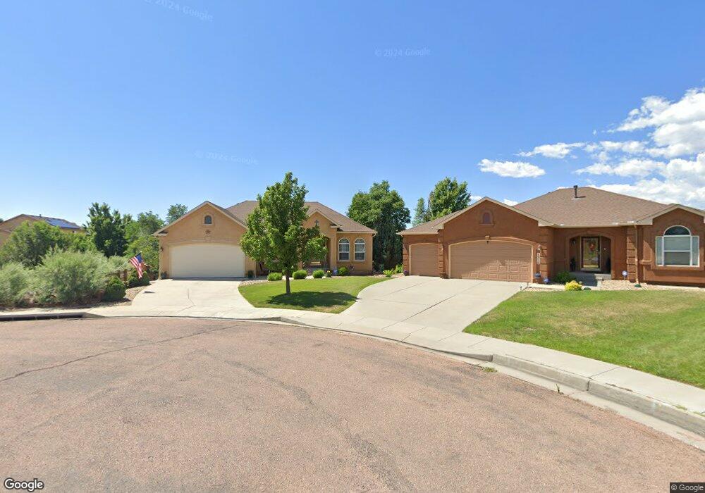
4908 Wing Walker Dr Colorado Springs, CO 80911
Security-Widefield NeighborhoodEstimated Value: $560,279 - $598,000
5
Beds
3
Baths
3,418
Sq Ft
$169/Sq Ft
Est. Value
About This Home
This home is located at 4908 Wing Walker Dr, Colorado Springs, CO 80911 and is currently estimated at $576,820, approximately $168 per square foot. 4908 Wing Walker Dr is a home located in El Paso County with nearby schools including French Elementary School, Sproul Junior High School, and Widefield High School.
Ownership History
Date
Name
Owned For
Owner Type
Purchase Details
Closed on
Sep 5, 2017
Sold by
Osorio Mario R and Schubert Jessica B
Bought by
Hendricks Thomas E and Hendricks Mary Kathleen
Current Estimated Value
Purchase Details
Closed on
Sep 6, 2006
Sold by
Elite Properties Of America Inc
Bought by
Osorio Mario R and Schubert Jessica B
Home Financials for this Owner
Home Financials are based on the most recent Mortgage that was taken out on this home.
Original Mortgage
$242,244
Interest Rate
6.72%
Mortgage Type
Unknown
Create a Home Valuation Report for This Property
The Home Valuation Report is an in-depth analysis detailing your home's value as well as a comparison with similar homes in the area
Home Values in the Area
Average Home Value in this Area
Purchase History
| Date | Buyer | Sale Price | Title Company |
|---|---|---|---|
| Hendricks Thomas E | $349,900 | Legacy Title Co | |
| Osorio Mario R | $346,063 | -- |
Source: Public Records
Mortgage History
| Date | Status | Borrower | Loan Amount |
|---|---|---|---|
| Previous Owner | Osorio Mario R | $242,244 |
Source: Public Records
Tax History Compared to Growth
Tax History
| Year | Tax Paid | Tax Assessment Tax Assessment Total Assessment is a certain percentage of the fair market value that is determined by local assessors to be the total taxable value of land and additions on the property. | Land | Improvement |
|---|---|---|---|---|
| 2025 | $2,655 | $39,040 | -- | -- |
| 2024 | $2,622 | $39,220 | $7,320 | $31,900 |
| 2023 | $2,622 | $39,220 | $7,320 | $31,900 |
| 2022 | $2,049 | $27,440 | $5,060 | $22,380 |
| 2021 | $2,209 | $28,230 | $5,210 | $23,020 |
| 2020 | $2,087 | $25,910 | $4,550 | $21,360 |
| 2019 | $2,075 | $25,910 | $4,550 | $21,360 |
| 2018 | $1,969 | $22,940 | $4,330 | $18,610 |
| 2017 | $1,991 | $22,940 | $4,330 | $18,610 |
| 2016 | $1,640 | $23,080 | $4,600 | $18,480 |
| 2015 | $1,681 | $23,080 | $4,600 | $18,480 |
| 2014 | $1,547 | $21,310 | $4,390 | $16,920 |
Source: Public Records
Map
Nearby Homes
- 3640 Tail Wind Dr
- 3905 Allgood Dr
- 3642 Red Baron Dr
- 5330 Barnstormers Ave
- 3472 Osprey Ridge Dr
- 3428 Tail Spin Dr
- 3484 Astana Dr
- 3441 Kestrel Dr
- 4110 Novia Dr
- 5021 Bradley Cir
- 5070 Alturas Dr
- 3320 Tail Spin Dr
- 4803 Tory Ridge Dr
- 5160 Quill Dr
- 5230 Quill Dr
- 4401 Windmill Creek Way
- 4425 Windmill Creek Way
- 4402 Windmill Creek Way
- 4691 Pleasant Port View
- 3211 Poughkeepsie Dr
- 4916 Wing Walker Dr
- 4917 Wing Walker Dr
- 4924 Wing Walker Dr
- 4914 Barnstormers Ave
- 4906 Barnstormers Ave
- 4932 Wing Walker Dr
- 4925 Wing Walker Dr
- 4922 Barnstormers Ave
- 4941 Wing Walker Dr
- 4913 Barnstormers Ave
- 4948 Wing Walker Dr
- 4921 Barnstormers Ave
- 4973 Wing Walker Dr
- 3735 Allgood Dr
- 4956 Wing Walker Dr
- 4929 Barnstormers Ave
- 3745 Allgood Dr
- 3755 Allgood Dr
- 3765 Allgood Dr
- 4964 Wing Walker Dr