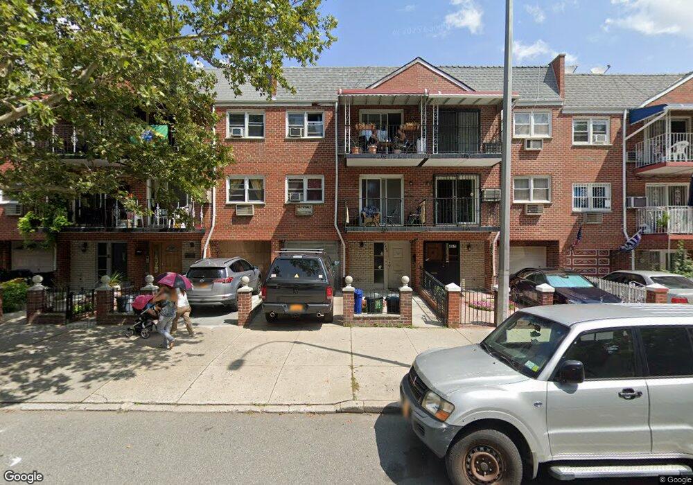
4909 31st Ave Woodside, NY 11377
Woodside NeighborhoodEstimated Value: $1,399,000 - $1,781,000
--
Bed
--
Bath
3,100
Sq Ft
$512/Sq Ft
Est. Value
About This Home
This home is located at 4909 31st Ave, Woodside, NY 11377 and is currently estimated at $1,587,000, approximately $511 per square foot. 4909 31st Ave is a home located in Queens County with nearby schools including P.S. 151 - Mary D. Carter, I.S. 010 Horace Greeley, and William Cullen Bryant High School.
Ownership History
Date
Name
Owned For
Owner Type
Purchase Details
Closed on
Apr 23, 2002
Sold by
Moy Richard E and Chin Gladys
Bought by
Komporozos John and Komporozos Alexandra
Current Estimated Value
Home Financials for this Owner
Home Financials are based on the most recent Mortgage that was taken out on this home.
Original Mortgage
$250,000
Outstanding Balance
$105,041
Interest Rate
7%
Mortgage Type
Purchase Money Mortgage
Estimated Equity
$1,481,959
Create a Home Valuation Report for This Property
The Home Valuation Report is an in-depth analysis detailing your home's value as well as a comparison with similar homes in the area
Home Values in the Area
Average Home Value in this Area
Purchase History
| Date | Buyer | Sale Price | Title Company |
|---|---|---|---|
| Komporozos John | -- | -- |
Source: Public Records
Mortgage History
| Date | Status | Borrower | Loan Amount |
|---|---|---|---|
| Open | Komporozos John | $250,000 |
Source: Public Records
Tax History Compared to Growth
Tax History
| Year | Tax Paid | Tax Assessment Tax Assessment Total Assessment is a certain percentage of the fair market value that is determined by local assessors to be the total taxable value of land and additions on the property. | Land | Improvement |
|---|---|---|---|---|
| 2025 | $12,304 | $64,932 | $6,833 | $58,099 |
| 2024 | $12,304 | $61,258 | $7,065 | $54,193 |
| 2023 | $12,304 | $61,258 | $5,990 | $55,268 |
| 2022 | $12,137 | $103,200 | $11,100 | $92,100 |
| 2021 | $12,071 | $106,980 | $11,100 | $95,880 |
| 2020 | $11,453 | $94,800 | $11,100 | $83,700 |
| 2019 | $10,679 | $81,180 | $11,100 | $70,080 |
| 2018 | $10,406 | $51,048 | $7,477 | $43,571 |
| 2017 | $10,328 | $50,664 | $9,047 | $41,617 |
| 2016 | $9,555 | $50,664 | $9,047 | $41,617 |
| 2015 | $6,362 | $45,092 | $11,863 | $33,229 |
| 2014 | $6,362 | $42,540 | $12,360 | $30,180 |
Source: Public Records
Map
Nearby Homes
- 43-02 31st Ave
- 30-68 50th St
- 30-69 Hobart St Unit 2
- 3040 Hobart St
- 30-81 54th St Unit 4B
- 3094 47th St
- 3017 48th St
- 30-31 Hobart St Unit 3
- 3015 Hobart St Unit 4
- 30-47 Hobart St Unit DDB
- 30-47 Hobart St Unit 5K
- 30- 47 Hobart St Unit 6
- 3045 Hobart St Unit 4H
- 55-03 31st Ave Unit C6K
- 31-98 54th St
- 31-31 54th St Unit 6
- 4811 30th Ave
- 55-25 31st Ave Unit 1K
- 47-05 Newtown Rd
- 55-23 31st Ave Unit 4H
- 49-09 31st Ave
- 4911 31st Ave
- 4907 31st Ave
- 4913 31st Ave
- 4905 31st Ave
- 4915 31st Ave
- 4903 31st Ave
- 3087 49th St
- 49-01 31st Ave
- 4917 31st Ave
- 4917 31st Ave Unit 1 fl
- 4917 31st Ave
- 4901 31st Ave
- 3094 50th St
- 3094 50th St
- 30-87 49th St Unit 2
- 3085 49th St
- 30-94 50th St
- 30-94 50th St Unit 3 fl
- 4919 31st Ave