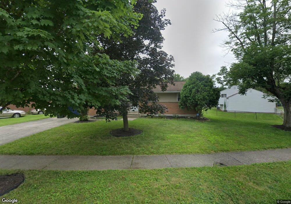
4909 Andrew Rd Columbus, OH 43227
Shady Lane NeighborhoodEstimated Value: $179,000 - $246,000
3
Beds
2
Baths
1,224
Sq Ft
$175/Sq Ft
Est. Value
About This Home
This home is located at 4909 Andrew Rd, Columbus, OH 43227 and is currently estimated at $213,955, approximately $174 per square foot. 4909 Andrew Rd is a home located in Franklin County with nearby schools including Shady Lane Elementary School, Sherwood Middle School, and Walnut Ridge High School.
Ownership History
Date
Name
Owned For
Owner Type
Purchase Details
Closed on
May 28, 2004
Sold by
Leeson John C and Leeson Janice C
Bought by
Amison Diana L
Current Estimated Value
Home Financials for this Owner
Home Financials are based on the most recent Mortgage that was taken out on this home.
Original Mortgage
$101,500
Outstanding Balance
$48,362
Interest Rate
6.06%
Mortgage Type
Purchase Money Mortgage
Estimated Equity
$165,593
Purchase Details
Closed on
Feb 19, 1970
Bought by
Leeson John C
Create a Home Valuation Report for This Property
The Home Valuation Report is an in-depth analysis detailing your home's value as well as a comparison with similar homes in the area
Home Values in the Area
Average Home Value in this Area
Purchase History
| Date | Buyer | Sale Price | Title Company |
|---|---|---|---|
| Amison Diana L | $101,500 | Advantage One Title Agency I | |
| Leeson John C | -- | -- |
Source: Public Records
Mortgage History
| Date | Status | Borrower | Loan Amount |
|---|---|---|---|
| Open | Amison Diana L | $101,500 |
Source: Public Records
Tax History
| Year | Tax Paid | Tax Assessment Tax Assessment Total Assessment is a certain percentage of the fair market value that is determined by local assessors to be the total taxable value of land and additions on the property. | Land | Improvement |
|---|---|---|---|---|
| 2025 | $3,214 | $71,610 | $16,170 | $55,440 |
| 2024 | $3,214 | $71,610 | $16,170 | $55,440 |
| 2023 | $3,173 | $71,610 | $16,170 | $55,440 |
| 2022 | $1,870 | $36,050 | $7,070 | $28,980 |
| 2021 | $1,873 | $36,050 | $7,070 | $28,980 |
| 2020 | $1,875 | $36,050 | $7,070 | $28,980 |
| 2019 | $1,728 | $28,490 | $5,670 | $22,820 |
| 2018 | $1,382 | $28,490 | $5,670 | $22,820 |
| 2017 | $1,727 | $28,490 | $5,670 | $22,820 |
| 2016 | $1,145 | $17,290 | $5,530 | $11,760 |
| 2015 | $1,040 | $17,290 | $5,530 | $11,760 |
| 2014 | $1,042 | $17,290 | $5,530 | $11,760 |
| 2013 | $605 | $20,335 | $6,510 | $13,825 |
Source: Public Records
Map
Nearby Homes
- 1310 Manfeld Dr
- 1260 Country Club Rd
- 4991 Justin Rd
- 4859 Folger Dr
- 1472 Blaine Dr
- 1470 Efner Dr
- 4819 Calvin Dr
- 1211 Shady Lane Rd
- 1193 Marble Dr
- 1243 Simpson Dr
- 4677 E Livingston Ave
- 4530 Amesbury Rd
- 1284 Thurston Dr
- 931 Antwerp Rd
- 4701 Janis Dr
- 1281 Maetzel Dr
- 1639 Shady Lane Rd
- 4467 Grimsby Rd
- 4649 Dundee Ave
- 4472 Aragon Ave
- 4911 Andrew Rd
- 4899 Andrew Rd
- 1270 Manfeld Dr
- 4913 Andrew Rd
- 4918 Andrew Rd
- 1278 Manfeld Dr
- 4922 Andrew Rd
- 4914 Andrew Rd
- 4902 Andrew Rd
- 4924 Andrew Rd
- 4926 Andrew Rd
- 1286 Manfeld Dr
- 4928 Andrew Rd
- 4935 Teddy Dr
- 4927 Teddy Dr
- 1234 Manfeld Dr
- 4939 Teddy Dr
- 1263 Manfeld Dr
- 1294 Manfeld Dr
- 1249 Manfeld Dr
Your Personal Tour Guide
Ask me questions while you tour the home.