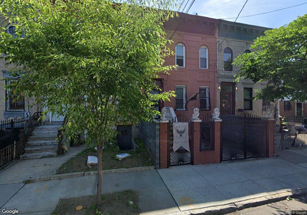
491 Ashford St Brooklyn, NY 11207
East New York NeighborhoodEstimated Value: $667,145 - $914,000
--
Bed
--
Bath
2,000
Sq Ft
$415/Sq Ft
Est. Value
About This Home
This home is located at 491 Ashford St, Brooklyn, NY 11207 and is currently estimated at $830,286, approximately $415 per square foot. 491 Ashford St is a home located in Kings County with nearby schools including P.S. 158 Warwick, Vista Academy, and Liberty Avenue Middle School.
Ownership History
Date
Name
Owned For
Owner Type
Purchase Details
Closed on
Jan 27, 2004
Sold by
Caprice Equities Inc
Bought by
Martin Khalid and Richardson Deborah
Current Estimated Value
Home Financials for this Owner
Home Financials are based on the most recent Mortgage that was taken out on this home.
Original Mortgage
$375,000
Outstanding Balance
$173,672
Interest Rate
5.65%
Mortgage Type
Purchase Money Mortgage
Estimated Equity
$656,614
Purchase Details
Closed on
May 10, 2001
Sold by
Budhoo Ishwardial
Bought by
Budhoo Ishwardial
Create a Home Valuation Report for This Property
The Home Valuation Report is an in-depth analysis detailing your home's value as well as a comparison with similar homes in the area
Home Values in the Area
Average Home Value in this Area
Purchase History
| Date | Buyer | Sale Price | Title Company |
|---|---|---|---|
| Martin Khalid | -- | -- | |
| Martin Khalid | -- | -- | |
| Budhoo Ishwardial | -- | -- | |
| Budhoo Ishwardial | -- | -- |
Source: Public Records
Mortgage History
| Date | Status | Borrower | Loan Amount |
|---|---|---|---|
| Open | Martin Khalid | $375,000 | |
| Closed | Martin Khalid | $375,000 |
Source: Public Records
Tax History Compared to Growth
Tax History
| Year | Tax Paid | Tax Assessment Tax Assessment Total Assessment is a certain percentage of the fair market value that is determined by local assessors to be the total taxable value of land and additions on the property. | Land | Improvement |
|---|---|---|---|---|
| 2025 | $1,086 | $50,160 | $9,420 | $40,740 |
| 2024 | $1,086 | $45,120 | $9,420 | $35,700 |
| 2023 | $1,025 | $43,740 | $9,420 | $34,320 |
| 2022 | $1,000 | $34,800 | $9,420 | $25,380 |
| 2021 | $1,042 | $31,920 | $9,420 | $22,500 |
| 2020 | $480 | $40,140 | $9,420 | $30,720 |
| 2019 | $893 | $40,140 | $9,420 | $30,720 |
| 2018 | $798 | $5,373 | $1,651 | $3,722 |
| 2017 | $796 | $5,373 | $1,333 | $4,040 |
| 2016 | $749 | $5,298 | $1,667 | $3,631 |
| 2015 | $392 | $4,999 | $2,051 | $2,948 |
| 2014 | $392 | $4,726 | $1,840 | $2,886 |
Source: Public Records
Map
Nearby Homes
- 559 Cleveland St
- 516 Elton St
- 569 Warwick St
- 448 Ashford St Unit 3
- 508 Warwick St
- 549 Ashford St
- 433 Jerome St
- 892 Blake Ave
- 632 Belmont Ave
- 762 Belmont Ave
- 938 Dumont Ave
- 613 Elton St
- 374 Ashford St
- 294 Berriman St
- 326 Berriman St
- 560 Jerome St Unit 562
- 652 Warwick St
- 730 Linwood St
- 572 Jerome St
- 823 New Lots Ave
- 489 Ashford St
- 493 Ashford St Unit 5
- 485 Ashford St
- 499 Ashford St
- 483 Ashford St
- 501 Ashford St
- 584 Cleveland St
- 580 Cleveland St
- 586 Cleveland St
- 503 Ashford St
- 588 Cleveland St
- 475 Ashford St
- 576 Cleveland St
- 578 Cleveland St
- 578 Cleveland St
- 578 Cleveland St Unit 2
- 578 Cleveland St Unit 1
- 590 Cleveland St
- 592 Cleveland St
- 572 Cleveland St