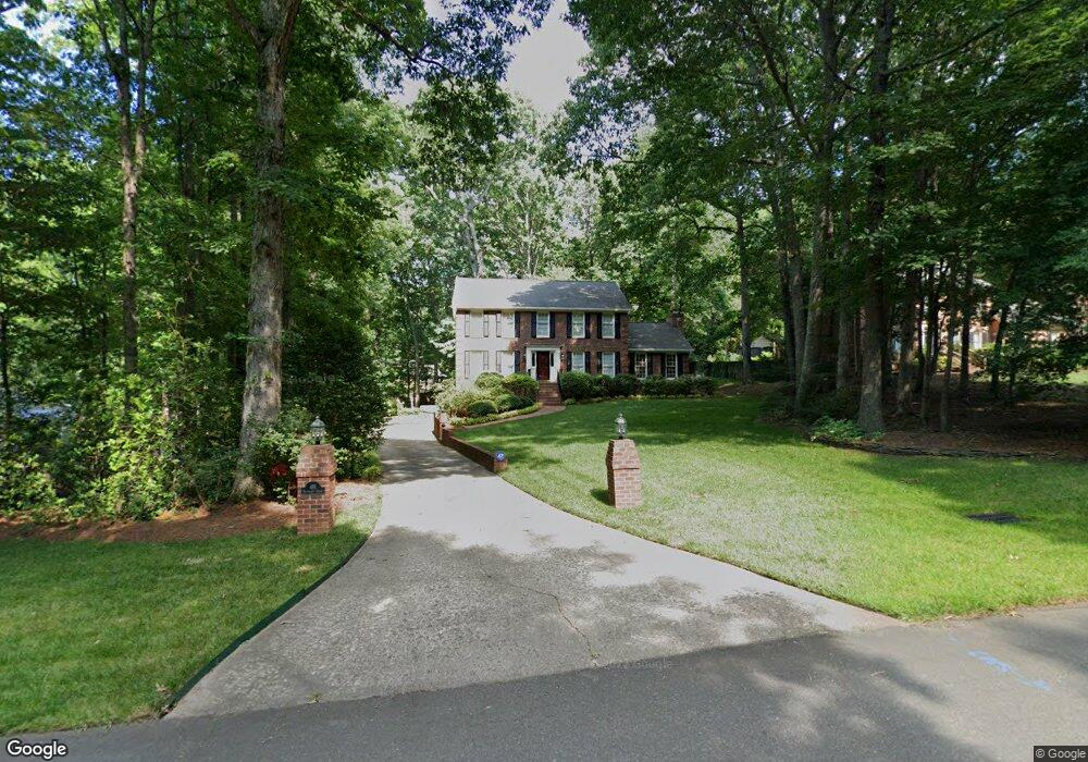
491 Buckhurst Dr Kernersville, NC 27284
Woodbridge NeighborhoodEstimated Value: $477,000 - $526,000
4
Beds
3
Baths
2,670
Sq Ft
$187/Sq Ft
Est. Value
About This Home
This home is located at 491 Buckhurst Dr, Kernersville, NC 27284 and is currently estimated at $498,024, approximately $186 per square foot. 491 Buckhurst Dr is a home located in Forsyth County with nearby schools including Cash Elementary, East Forsyth Middle, and East Forsyth High School.
Ownership History
Date
Name
Owned For
Owner Type
Purchase Details
Closed on
Nov 23, 1983
Bought by
Bender and Bender
Current Estimated Value
Create a Home Valuation Report for This Property
The Home Valuation Report is an in-depth analysis detailing your home's value as well as a comparison with similar homes in the area
Home Values in the Area
Average Home Value in this Area
Purchase History
| Date | Buyer | Sale Price | Title Company |
|---|---|---|---|
| Bender | -- | -- |
Source: Public Records
Tax History Compared to Growth
Tax History
| Year | Tax Paid | Tax Assessment Tax Assessment Total Assessment is a certain percentage of the fair market value that is determined by local assessors to be the total taxable value of land and additions on the property. | Land | Improvement |
|---|---|---|---|---|
| 2025 | $3,983 | $471,200 | $60,000 | $411,200 |
| 2024 | $3,906 | $307,600 | $60,000 | $247,600 |
| 2023 | $3,906 | $307,600 | $60,000 | $247,600 |
| 2022 | $3,896 | $307,600 | $60,000 | $247,600 |
| 2021 | $3,896 | $307,600 | $60,000 | $247,600 |
| 2020 | $3,471 | $257,300 | $55,000 | $202,300 |
| 2019 | $3,497 | $257,300 | $55,000 | $202,300 |
| 2018 | $3,420 | $257,300 | $55,000 | $202,300 |
| 2016 | $3,541 | $261,152 | $55,000 | $206,152 |
| 2015 | $3,472 | $261,152 | $55,000 | $206,152 |
| 2014 | $3,438 | $261,152 | $55,000 | $206,152 |
Source: Public Records
Map
Nearby Homes
- 5985 Woodfield Dr
- 5928 Woodfield Dr
- 1505 Cabot Place
- 912 Wimberly Way Ct
- 6433 Lamshire Rd
- 530 Brett Dr
- 6416 Lamshire Rd
- 6235 Selwyck Ln
- 6017 Woods Edge Ln
- 503 Bluff School Rd
- 479 Hopkins Rd
- 6455 Littlewood Rd
- 203 Christi Ln
- 221 Oakmont Park Ct
- 6400 Rains Davis Dr
- 113 Finborough Ct
- 410 Savannah Ln
- 640 Bluff School Rd
- 1416 Farm Ridge Rd
- 218 Westwood Dr
- 487 Buckhurst Dr
- 495 Buckhurst Dr
- 483 Buckhurst Dr
- 5956 Woodfield Dr
- 5960 Woodfield Dr
- 492 Buckhurst Dr
- 496 Buckhurst Dr
- 479 Buckhurst Dr
- 488 Buckhurst Dr
- 5957 Woodfield Dr
- 5953 Woodfield Dr
- 484 Buckhurst Dr
- 5961 Woodfield Dr
- 5964 Woodfield Dr
- 5949 Woodfield Dr
- 480 Buckhurst Dr
- 5968 Woodfield Dr
- 6001 Knightsbridge Ct
- 5965 Woodfield Dr
- 5944 Woodfield Dr