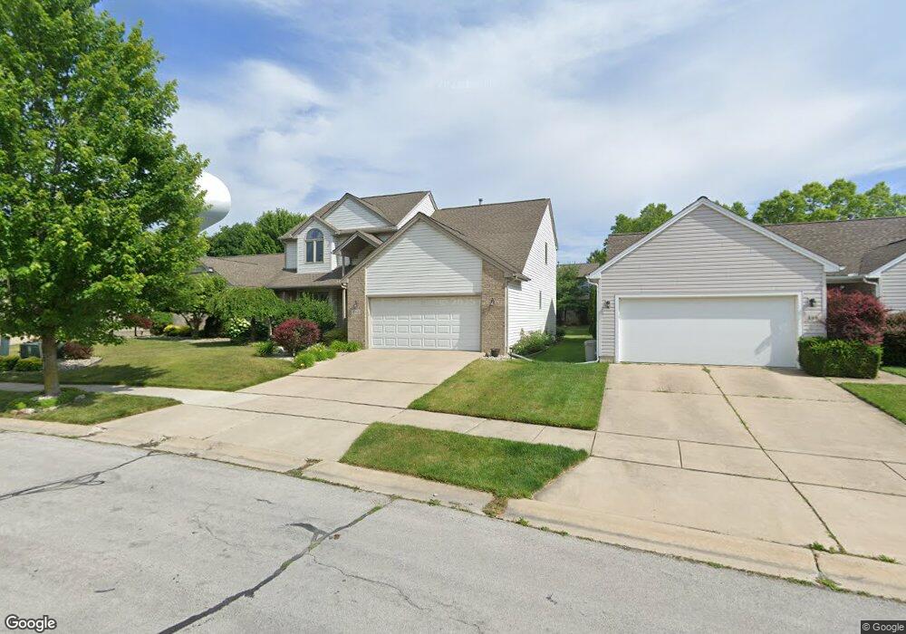
491 Coventry Cir Unit 205 Dexter, MI 48130
Estimated Value: $456,000 - $530,000
4
Beds
2
Baths
2,139
Sq Ft
$235/Sq Ft
Est. Value
About This Home
This home is located at 491 Coventry Cir Unit 205, Dexter, MI 48130 and is currently estimated at $502,399, approximately $234 per square foot. 491 Coventry Cir Unit 205 is a home located in Washtenaw County with nearby schools including Anchor Elementary School, Creekside Intermediate School, and Bates Elementary School.
Ownership History
Date
Name
Owned For
Owner Type
Purchase Details
Closed on
Nov 15, 2004
Sold by
Dexter Development Llc
Bought by
Everard Brian and Everard Michelle
Current Estimated Value
Home Financials for this Owner
Home Financials are based on the most recent Mortgage that was taken out on this home.
Original Mortgage
$207,000
Outstanding Balance
$104,193
Interest Rate
5.91%
Mortgage Type
Unknown
Estimated Equity
$398,206
Create a Home Valuation Report for This Property
The Home Valuation Report is an in-depth analysis detailing your home's value as well as a comparison with similar homes in the area
Home Values in the Area
Average Home Value in this Area
Purchase History
| Date | Buyer | Sale Price | Title Company |
|---|---|---|---|
| Everard Brian | $57,570 | -- | |
| Everard Brian | -- | -- |
Source: Public Records
Mortgage History
| Date | Status | Borrower | Loan Amount |
|---|---|---|---|
| Open | Everard Brian | $207,000 | |
| Closed | Everard Brian | $26,600 |
Source: Public Records
Tax History Compared to Growth
Tax History
| Year | Tax Paid | Tax Assessment Tax Assessment Total Assessment is a certain percentage of the fair market value that is determined by local assessors to be the total taxable value of land and additions on the property. | Land | Improvement |
|---|---|---|---|---|
| 2025 | $3,936 | $254,000 | $0 | $0 |
| 2024 | $3,820 | $248,200 | $0 | $0 |
| 2023 | $3,648 | $206,700 | $0 | $0 |
| 2022 | $5,986 | $207,300 | $0 | $0 |
| 2021 | $5,812 | $182,000 | $0 | $0 |
| 2020 | $5,601 | $149,400 | $0 | $0 |
| 2019 | $5,462 | $149,700 | $149,700 | $0 |
| 2018 | $5,233 | $147,700 | $25,000 | $122,700 |
| 2017 | $5,031 | $147,700 | $0 | $0 |
| 2016 | $5,001 | $108,774 | $0 | $0 |
Source: Public Records
Map
Nearby Homes
- 514 Coventry Cir Unit 187
- 3544 Lexington Cir
- 306 Cambridge Dr
- 6839 Dexter Ann Arbor Rd
- 1625 Baker Rd
- 4307 Inverness St Unit 24
- 6837 Morrison Hills Ct
- 2925 Baker Rd
- 6825 Morrison Hls Ct
- 610 Boardwalk Ln
- 611 Woodland Dr
- 6810 Morrison Hills Ct
- 621 Woodland Dr
- 7955 Forest St
- 0 W Joy Rd
- 675 Baker Rd
- 8180 Main St Unit 102
- 8180 Main St Unit 402
- 8180 Main St Unit 204
- 8180 Main St Unit 103
- 489 Coventry Cir Unit 206
- 493 Coventry Cir Unit 204
- 477 Preston Cir Unit 116
- 487 Coventry Cir Unit 207
- 479 Preston Cir
- 475 Preston Cir
- 495 Conventry Cir
- 495 Coventry Cir
- 490 Coventry Cir Unit 186
- 488 Coventry Cir Unit 185
- 481 Preston Cir
- 497 Coventry Cir
- 473 Preston Cir
- 486 Coventry Cir Unit 184
- 499 Coventry Cir Unit 201
- 3603 S Downs Dr
- 501 Coventry Cir Unit 200
- 469 Preston Cir
- 3646 Carrington Dr Unit 119
- 470 Preston Cir Unit 105