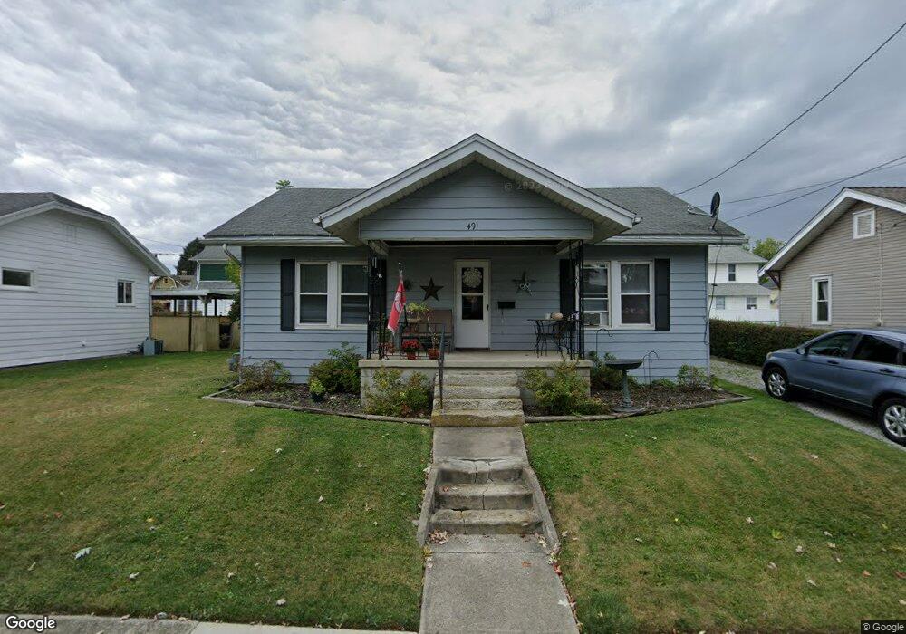
491 Elmwood Dr Marion, OH 43302
Estimated Value: $87,000 - $154,000
2
Beds
1
Bath
1,008
Sq Ft
$115/Sq Ft
Est. Value
About This Home
This home is located at 491 Elmwood Dr, Marion, OH 43302 and is currently estimated at $115,613, approximately $114 per square foot. 491 Elmwood Dr is a home located in Marion County with nearby schools including Benjamin Harrison Elementary School, Ulysses S. Grant Middle School, and Harding High School.
Ownership History
Date
Name
Owned For
Owner Type
Purchase Details
Closed on
Feb 25, 2008
Sold by
Ruth Bettie A
Bought by
Roe Rickey S and Ulbrich Roe Brensa K
Current Estimated Value
Home Financials for this Owner
Home Financials are based on the most recent Mortgage that was taken out on this home.
Original Mortgage
$26,250
Interest Rate
5.75%
Mortgage Type
New Conventional
Purchase Details
Closed on
Mar 20, 2003
Bought by
Roe Rickey S
Purchase Details
Closed on
Dec 14, 1998
Bought by
Roe Rickey S
Create a Home Valuation Report for This Property
The Home Valuation Report is an in-depth analysis detailing your home's value as well as a comparison with similar homes in the area
Home Values in the Area
Average Home Value in this Area
Purchase History
| Date | Buyer | Sale Price | Title Company |
|---|---|---|---|
| Roe Rickey S | $35,000 | Marion Title | |
| Roe Rickey S | -- | -- | |
| Roe Rickey S | -- | -- |
Source: Public Records
Mortgage History
| Date | Status | Borrower | Loan Amount |
|---|---|---|---|
| Closed | Roe Rickey S | $26,250 |
Source: Public Records
Tax History Compared to Growth
Tax History
| Year | Tax Paid | Tax Assessment Tax Assessment Total Assessment is a certain percentage of the fair market value that is determined by local assessors to be the total taxable value of land and additions on the property. | Land | Improvement |
|---|---|---|---|---|
| 2024 | $951 | $24,770 | $6,690 | $18,080 |
| 2023 | $951 | $24,770 | $6,690 | $18,080 |
| 2022 | $883 | $24,770 | $6,690 | $18,080 |
| 2021 | $781 | $19,730 | $5,820 | $13,910 |
| 2020 | $783 | $19,730 | $5,820 | $13,910 |
| 2019 | $783 | $19,730 | $5,820 | $13,910 |
| 2018 | $768 | $19,360 | $5,810 | $13,550 |
| 2017 | $853 | $19,360 | $5,810 | $13,550 |
| 2016 | $863 | $21,620 | $5,810 | $15,810 |
| 2015 | $859 | $21,040 | $5,530 | $15,510 |
| 2014 | $860 | $21,040 | $5,530 | $15,510 |
| 2012 | $822 | $19,990 | $4,410 | $15,580 |
Source: Public Records
Map
Nearby Homes
- 556 Hane Ave
- 482 King Ave
- 514 King Ave
- 686 Mount Vernon Ave Unit AV
- 667 King Ave
- 701 Brightwood Dr
- 769 Summit St
- 763 Leetonia Rd
- 249 S Grand Ave
- 338 Powhattan St
- 381 Forest Lawn Blvd
- 488 Forest Lawn Blvd
- 400 Forest Lawn Blvd
- 556 S Vine St
- 222 Uhler Ave
- 858 Vernon Heights Cir
- 991 Uhler Rd
- 239 Gurley Ave
- 126 S Seffner Ave
- 301 S Vine St