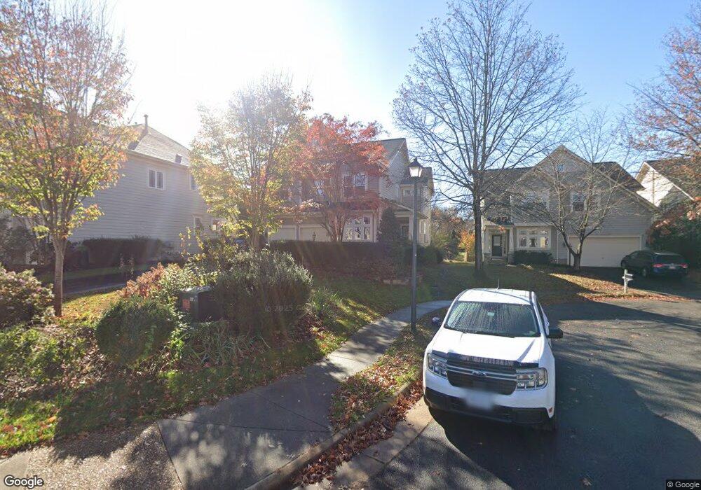
491 Marshall Dr NE Leesburg, VA 20176
Estimated Value: $879,449 - $989,000
4
Beds
3
Baths
2,966
Sq Ft
$321/Sq Ft
Est. Value
About This Home
This home is located at 491 Marshall Dr NE, Leesburg, VA 20176 and is currently estimated at $953,112, approximately $321 per square foot. 491 Marshall Dr NE is a home located in Loudoun County with nearby schools including Leesburg Elementary School, Smart's Mill Middle School, and Tuscarora High School.
Ownership History
Date
Name
Owned For
Owner Type
Purchase Details
Closed on
Jun 5, 2003
Sold by
Centex Homes
Bought by
Bigden Frederick
Current Estimated Value
Home Financials for this Owner
Home Financials are based on the most recent Mortgage that was taken out on this home.
Original Mortgage
$261,900
Outstanding Balance
$115,141
Interest Rate
5.83%
Mortgage Type
New Conventional
Estimated Equity
$837,971
Create a Home Valuation Report for This Property
The Home Valuation Report is an in-depth analysis detailing your home's value as well as a comparison with similar homes in the area
Home Values in the Area
Average Home Value in this Area
Purchase History
| Date | Buyer | Sale Price | Title Company |
|---|---|---|---|
| Bigden Frederick | $448,875 | -- |
Source: Public Records
Mortgage History
| Date | Status | Borrower | Loan Amount |
|---|---|---|---|
| Open | Bigden Frederick | $261,900 |
Source: Public Records
Tax History Compared to Growth
Tax History
| Year | Tax Paid | Tax Assessment Tax Assessment Total Assessment is a certain percentage of the fair market value that is determined by local assessors to be the total taxable value of land and additions on the property. | Land | Improvement |
|---|---|---|---|---|
| 2025 | $6,780 | $842,270 | $258,000 | $584,270 |
| 2024 | $6,806 | $786,810 | $239,000 | $547,810 |
| 2023 | $6,688 | $764,290 | $224,000 | $540,290 |
| 2022 | $6,267 | $704,190 | $199,000 | $505,190 |
| 2021 | $5,952 | $607,380 | $199,600 | $407,780 |
| 2020 | $6,238 | $602,660 | $179,600 | $423,060 |
| 2019 | $6,164 | $589,860 | $179,600 | $410,260 |
| 2018 | $5,760 | $530,910 | $149,600 | $381,310 |
| 2017 | $5,898 | $524,250 | $149,600 | $374,650 |
| 2016 | $5,982 | $522,440 | $0 | $0 |
| 2015 | $934 | $360,990 | $0 | $360,990 |
| 2014 | $868 | $324,450 | $0 | $324,450 |
Source: Public Records
Map
Nearby Homes
- 293 Ariel Dr NE
- 276 Ariel Dr NE
- 216 Wildman St NE
- 222 Wirt St NW
- 412 Blue Ridge Ave NE
- 710 North St NE
- BIRKHALL Plan at Brickyard
- BALMORAL Plan at Brickyard
- HIGHGROVE Plan at Brickyard
- 2 Stationmaster St SE Unit 302
- 5 Stationmaster St SE Unit 202
- 3 Stationmaster St SE Unit 402
- 108 Stoneledge Place NE
- 0 Loudoun St SW Unit VALO2106424
- 414 Madison Ct SE
- 706 Amber Ct NE
- 514 Covington Terrace NE
- 411 Bicksler Square SE
- 265 High Rail Terrace SE
- 459 Kornblau Terrace SE
- 493 Marshall Dr NE
- 489 Marshall Dr NE
- 487 Marshall Dr NE
- 291 Ariel Dr NE
- 289 Ariel Dr NE
- 287 Ariel Dr NE
- 295 Ariel Dr NE
- 283 Ariel Dr NE
- 285 Ariel Dr NE
- 486 Marshall Dr NE
- 281 Ariel Dr NE
- 490 Marshall Dr NE
- 297 Ariel Dr NE
- 292 Ariel Dr NE
- 294 Ariel Dr NE
- 290 Ariel Dr NE
- 288 Ariel Dr NE
- 296 Ariel Dr NE
- 299 Ariel Dr NE
- 286 Ariel Dr NE