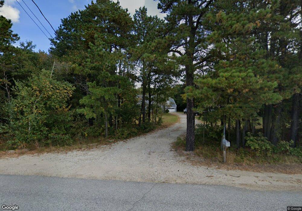
491 Mayall Rd New Gloucester, ME 04260
Estimated Value: $383,716 - $495,000
3
Beds
2
Baths
768
Sq Ft
$557/Sq Ft
Est. Value
About This Home
This home is located at 491 Mayall Rd, New Gloucester, ME 04260 and is currently estimated at $427,929, approximately $557 per square foot. 491 Mayall Rd is a home located in Cumberland County with nearby schools including Gray-New Gloucester High School and Fiddlehead School of Arts & Science.
Ownership History
Date
Name
Owned For
Owner Type
Purchase Details
Closed on
Sep 4, 2024
Sold by
Boulier Todd E
Bought by
Boulier Todd E and Boulier Heather
Current Estimated Value
Home Financials for this Owner
Home Financials are based on the most recent Mortgage that was taken out on this home.
Original Mortgage
$83,000
Outstanding Balance
$78,749
Interest Rate
5.63%
Mortgage Type
Stand Alone Refi Refinance Of Original Loan
Estimated Equity
$349,180
Create a Home Valuation Report for This Property
The Home Valuation Report is an in-depth analysis detailing your home's value as well as a comparison with similar homes in the area
Home Values in the Area
Average Home Value in this Area
Purchase History
| Date | Buyer | Sale Price | Title Company |
|---|---|---|---|
| Boulier Todd E | -- | None Available | |
| Boulier Todd E | -- | None Available |
Source: Public Records
Mortgage History
| Date | Status | Borrower | Loan Amount |
|---|---|---|---|
| Open | Boulier Todd E | $83,000 | |
| Closed | Boulier Todd E | $83,000 |
Source: Public Records
Tax History Compared to Growth
Tax History
| Year | Tax Paid | Tax Assessment Tax Assessment Total Assessment is a certain percentage of the fair market value that is determined by local assessors to be the total taxable value of land and additions on the property. | Land | Improvement |
|---|---|---|---|---|
| 2025 | $3,615 | $233,698 | $81,600 | $152,098 |
| 2024 | $3,480 | $233,698 | $81,600 | $152,098 |
| 2023 | $3,340 | $233,698 | $81,600 | $152,098 |
| 2022 | $3,225 | $233,698 | $81,600 | $152,098 |
| 2021 | $3,225 | $233,698 | $81,600 | $152,098 |
| 2020 | $3,190 | $233,698 | $81,600 | $152,098 |
| 2019 | $3,034 | $179,500 | $59,200 | $120,300 |
| 2018 | $2,836 | $179,500 | $59,200 | $120,300 |
| 2017 | $2,800 | $179,500 | $59,200 | $120,300 |
| 2016 | $2,639 | $179,500 | $59,200 | $120,300 |
| 2015 | $2,630 | $179,500 | $59,200 | $120,300 |
| 2014 | $2,603 | $179,500 | $59,200 | $120,300 |
| 2013 | $2,394 | $178,000 | $59,200 | $118,800 |
Source: Public Records
Map
Nearby Homes
- TBD Targett Rd
- 13 Mill Brook Rd Unit A
- 0 Mayall
- 343 Shaker Rd
- 22 Shaw Rd
- 271 Bennett Rd
- 136 Shaker Rd
- 155 & 151 Gloucester Hill Rd
- 0018-C Gloucester Hill Rd
- 4 Chelsey Ln
- 27 Callaway Dr Unit 27B
- 17 Callaway Dr Unit 17
- 160 Gloucester Hill Rd
- 127 Shaker Rd Unit 61
- 0 Colley Hill Rd
- 1 Colley Hill Rd
- 2 Dr
- 22 Gray Park
- 15 May Meadow Dr
- 24 Swamp Rd