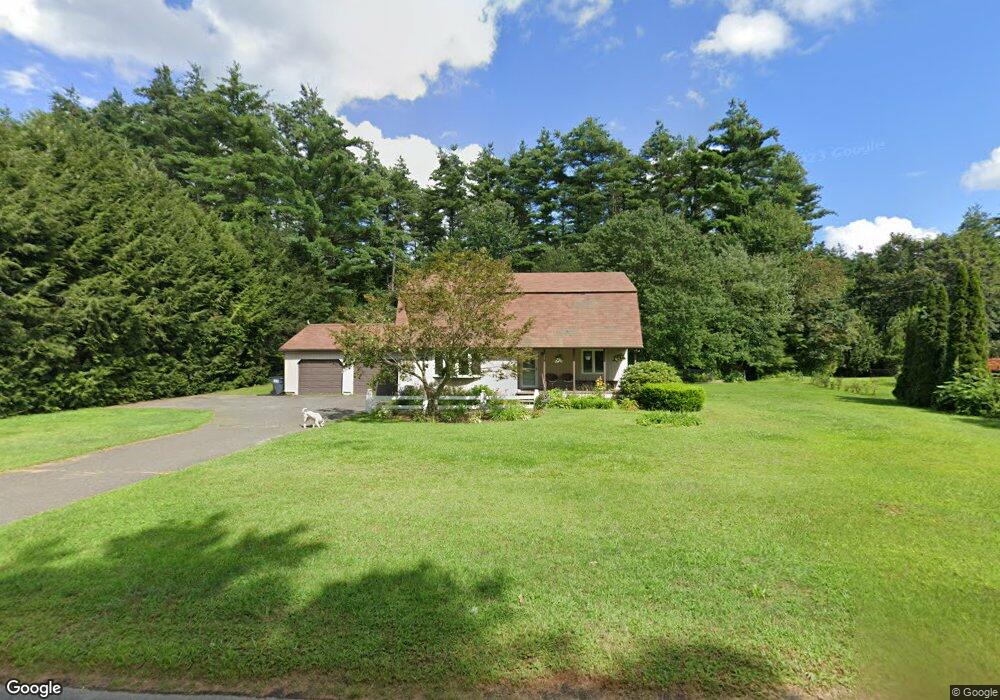
491 Michael Sears Rd Belchertown, MA 01007
Estimated Value: $428,000 - $519,000
About This Home
This home is located at 491 Michael Sears Rd, Belchertown, MA 01007 and is currently estimated at $485,796, approximately $205 per square foot. 491 Michael Sears Rd is a home located in Hampshire County with nearby schools including Swift River Elementary School, Chestnut Hill Community School, and Jabish Middle School.
Ownership History
We collect this data history from publicly available records. To have your information removed, we recommend requesting removal directly through your county’s website.
Purchase Details
Home Financials for this Owner
Home Financials are based on the most recent Mortgage that was taken out on this home.Purchase Details
Home Values in the Area
Average Home Value in this Area
Purchase History
We collect this data history from publicly available records. To have your information removed, we recommend requesting removal directly through your county’s website.
| Date | Buyer | Sale Price | Title Company |
|---|---|---|---|
| $240,000 | None Available | ||
| $40,500 | -- |
Mortgage History
We collect this data history from publicly available records. To have your information removed, we recommend requesting removal directly through your county’s website.
| Date | Status | Borrower | Loan Amount |
|---|---|---|---|
| Open | $273,956 | ||
| Previous Owner | $35,000 | ||
| Previous Owner | $47,000 | ||
| Previous Owner | $35,000 |
Tax History
We collect this data history from publicly available records. To have your information removed, we recommend requesting removal directly through your county’s website.
| Year | Tax Paid | Tax Assessment Tax Assessment Total Assessment is a certain percentage of the fair market value that is determined by local assessors to be the total taxable value of land and additions on the property. | Land | Improvement |
|---|---|---|---|---|
| 2025 | $6,381 | $439,800 | $73,900 | $365,900 |
| 2024 | $6,163 | $402,300 | $67,000 | $335,300 |
| 2023 | $5,892 | $361,000 | $61,400 | $299,600 |
| 2022 | $5,602 | $317,200 | $61,400 | $255,800 |
| 2021 | $3,793 | $209,200 | $61,400 | $147,800 |
| 2020 | $3,689 | $203,000 | $61,400 | $141,600 |
| 2019 | $3,582 | $195,500 | $61,400 | $134,100 |
| 2018 | $3,502 | $192,500 | $62,700 | $129,800 |
| 2017 | $3,429 | $188,400 | $62,700 | $125,700 |
| 2016 | $3,324 | $185,000 | $62,700 | $122,300 |
| 2015 | $3,297 | $184,300 | $62,700 | $121,600 |
Map
- 428 Michael Sears Rd
- 6 High Bluff Rd
- 7 High Bluff Rd
- 15 High Bluff Rd
- 23 High Bluff Rd
- 31 High Bluff Rd
- 39 High Bluff Rd
- 71 High Bluff Rd
- 63 High Bluff Rd
- 48 High Bluff Rd
- 57 High Bluff Rd
- 56 High Bluff Rd
- 51 High Bluff Rd
- 5 Sunny Crest Ln
- 0 Sunny Crest Ln
- 24 Sunny Crest Ln
- 10 Sunny Crest Ln
- 0 South St
- 45 River St
- 4 Depot St
- 497 Michael Sears Rd
- 483 Michael Sears Rd
- 506 Michael Sears Rd
- 1 Eugene Dr
- 511 Michael Sears Rd
- 482 Michael Sears Rd
- 514 Michael Sears Rd
- 84-GH Eugene Dr
- 17 Eugene Dr
- 515 Michael Sears Rd
- 476 Michael Sears Rd
- 471 Michael Sears Rd
- 23 Eugene Dr
- 16 Eugene Dr
- 22 Eugene Dr
- 29 Eugene Dr
- 469 Michael Sears Rd
- 28 Eugene Dr
- 35 Eugene Dr
- 474 Michael Sears Rd
Ask me questions while you tour the home.