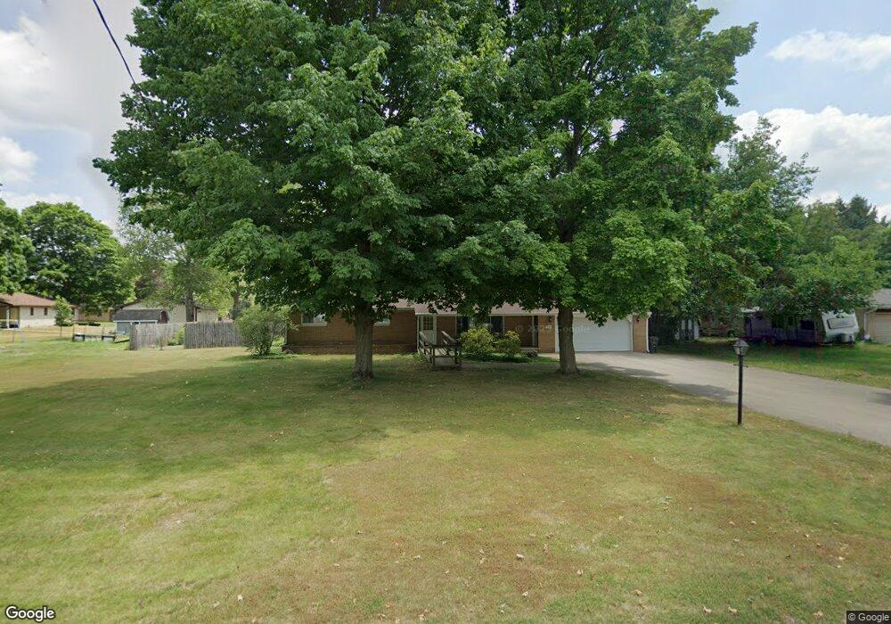
491 Morter Rd Otsego, MI 49078
Estimated Value: $211,000 - $252,000
3
Beds
2
Baths
1,200
Sq Ft
$193/Sq Ft
Est. Value
About This Home
This home is located at 491 Morter Rd, Otsego, MI 49078 and is currently estimated at $231,742, approximately $193 per square foot. 491 Morter Rd is a home located in Allegan County with nearby schools including Otsego High School, Otsego Christian Academy, and St. Margaret School.
Ownership History
Date
Name
Owned For
Owner Type
Purchase Details
Closed on
Oct 10, 2022
Sold by
Spencer Margaret and Spencer Donald
Bought by
Spencer Margaret and Spencer Margaret
Current Estimated Value
Purchase Details
Closed on
Feb 11, 2015
Sold by
Spencer Donald and Spencer Margaret
Bought by
Spencer Donald and Spencer Margaret
Purchase Details
Closed on
Oct 1, 1987
Sold by
Carolyn Gunnerson
Bought by
Florence Phelps
Create a Home Valuation Report for This Property
The Home Valuation Report is an in-depth analysis detailing your home's value as well as a comparison with similar homes in the area
Home Values in the Area
Average Home Value in this Area
Purchase History
| Date | Buyer | Sale Price | Title Company |
|---|---|---|---|
| Spencer Margaret | -- | -- | |
| Spencer Donald | -- | None Available | |
| Florence Phelps | $57,900 | -- |
Source: Public Records
Tax History
| Year | Tax Paid | Tax Assessment Tax Assessment Total Assessment is a certain percentage of the fair market value that is determined by local assessors to be the total taxable value of land and additions on the property. | Land | Improvement |
|---|---|---|---|---|
| 2025 | $2,236 | $98,000 | $9,900 | $88,100 |
| 2024 | $1,888 | $94,300 | $8,400 | $85,900 |
| 2023 | $1,922 | $80,600 | $8,400 | $72,200 |
| 2022 | $1,888 | $76,200 | $8,100 | $68,100 |
| 2021 | $1,782 | $74,400 | $9,900 | $64,500 |
| 2020 | $1,762 | $65,100 | $7,800 | $57,300 |
| 2019 | $1,702 | $62,600 | $7,800 | $54,800 |
| 2018 | $1,666 | $63,600 | $7,500 | $56,100 |
| 2017 | $0 | $66,400 | $12,000 | $54,400 |
| 2016 | $0 | $58,300 | $7,200 | $51,100 |
| 2015 | -- | $58,300 | $7,200 | $51,100 |
| 2014 | $1,365 | $51,000 | $6,300 | $44,700 |
| 2013 | $1,365 | $58,300 | $6,900 | $51,400 |
Source: Public Records
Map
Nearby Homes
- 1868 Jefferson Rd
- 602 Lincoln Rd
- 528 Lincoln Rd
- 0 Briarwood St Unit 25002251
- 361 W Allegan St
- 303 W Franklin St
- 218 S North St
- 516 Catherine St
- 508 S Farmer St
- 301 Helen Ave
- 1655 Aspen Trail
- 1660 Aspen Trail
- 1648 Aspen Trail
- 1639 Aspen Trail
- 1644 Aspen Trail
- 1431 Michigan 89
- 1636 Aspen Trail
- 805 Irving St
- Integrity 1880 Plan at Southpointe Trails
- Integrity 1910 Plan at Southpointe Trails
Your Personal Tour Guide
Ask me questions while you tour the home.