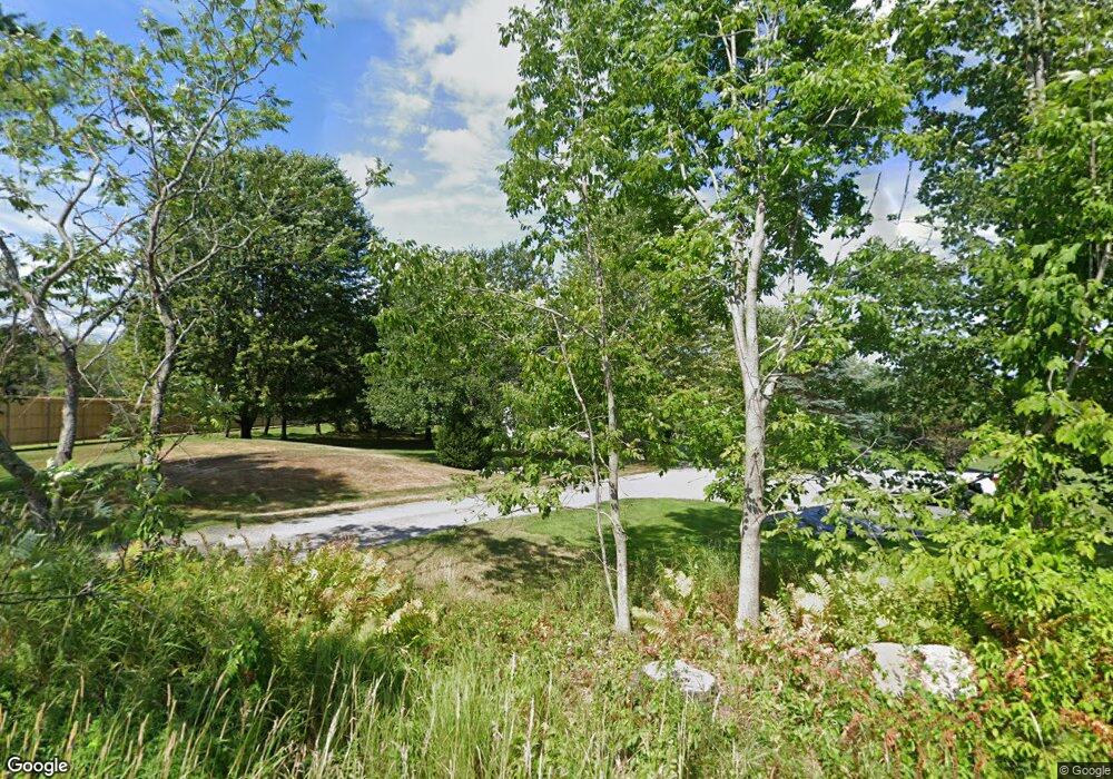
491 Range E Rd Limerick, ME 04048
Estimated Value: $386,000 - $535,000
Studio
--
Bath
952
Sq Ft
$470/Sq Ft
Est. Value
About This Home
This home is located at 491 Range E Rd, Limerick, ME 04048 and is currently estimated at $447,737, approximately $470 per square foot. 491 Range E Rd is a home with nearby schools including Massabesic High School.
Ownership History
Date
Name
Owned For
Owner Type
Purchase Details
Closed on
Jul 17, 2024
Sold by
Tobias Thomas J and Tobias Wendy J
Bought by
Tobias Thomas J and Tobias Wendy J
Current Estimated Value
Purchase Details
Closed on
Dec 8, 2023
Sold by
Legere Bryce A
Bought by
Tobias Thomas J and Tobias Wendy J
Create a Home Valuation Report for This Property
The Home Valuation Report is an in-depth analysis detailing your home's value as well as a comparison with similar homes in the area
Home Values in the Area
Average Home Value in this Area
Purchase History
| Date | Buyer | Sale Price | Title Company |
|---|---|---|---|
| Tobias Thomas J | -- | None Available | |
| Tobias Thomas J | -- | None Available | |
| Tobias Thomas J | -- | None Available | |
| Tobias Thomas J | -- | None Available | |
| Tobias Thomas J | -- | None Available |
Source: Public Records
Tax History Compared to Growth
Tax History
| Year | Tax Paid | Tax Assessment Tax Assessment Total Assessment is a certain percentage of the fair market value that is determined by local assessors to be the total taxable value of land and additions on the property. | Land | Improvement |
|---|---|---|---|---|
| 2025 | $3,657 | $384,915 | $118,500 | $266,415 |
| 2024 | $3,614 | $380,415 | $114,000 | $266,415 |
| 2023 | $3,586 | $235,893 | $60,000 | $175,893 |
| 2022 | $3,350 | $235,892 | $60,000 | $175,892 |
| 2021 | $3,133 | $188,714 | $48,000 | $140,714 |
| 2020 | $3,095 | $188,714 | $48,000 | $140,714 |
| 2019 | $2,972 | $188,714 | $48,000 | $140,714 |
| 2018 | $3,048 | $188,714 | $48,000 | $140,714 |
| 2017 | $2,972 | $188,714 | $48,000 | $140,714 |
| 2016 | $2,840 | $188,714 | $48,000 | $140,714 |
| 2015 | $2,755 | $188,714 | $48,000 | $140,714 |
| 2014 | $2,670 | $188,714 | $48,000 | $140,714 |
Source: Public Records
Map
Nearby Homes
- 451 Range E Rd
- 515 Range East Rd
- Lot 14b Patterson Rd
- 0 Stone Hill Rd
- 545 Foss Rd
- 725 Water St
- 48 Elm St
- 154 Staples Rd
- Lot 3C Bridge St
- 0 Mowry 0 Row Mowry Ln
- 243 Sokokis Trail N
- 5 Wescott St
- 590 Newfield Rd
- 148 Washington St Unit A
- 33 Maple St
- 0 Quarry Rd
- TBD Sokokis Trail & Beaver Brook Rd
- 164 Granny Kent Pond Rd
- 24 Emery Corner Rd
- 4 Deer Crossing Rd
- 500 Range E Rd
- 548 Range E Rd
- Lot 1 Range Rd E
- 531 Range E Rd
- 455 Range E Rd
- 551 Range E Rd
- 0 Foss Rd Unit 423915
- 0 Foss Rd Unit 371439
- 0 Foss Rd Unit 366117
- 0 Foss Rd Unit 614111
- 0 Foss Rd Unit 637983
- 0 Foss Rd Unit 309009
- 0 Foss Rd Unit 308948
- 0 Foss Rd Unit 631451
- 0 Foss Rd Unit 897391
- 0 Foss Rd Unit 911036
- 0 Foss Rd Unit 1094576
- 0 Foss Rd Unit 1102636
- 0 Foss Rd Unit 1214769
- 0 Foss Rd Unit 1217581
