Estimated Value: $340,000 - $404,000
Studio
--
Bath
--
Sq Ft
25
Acres
About This Home
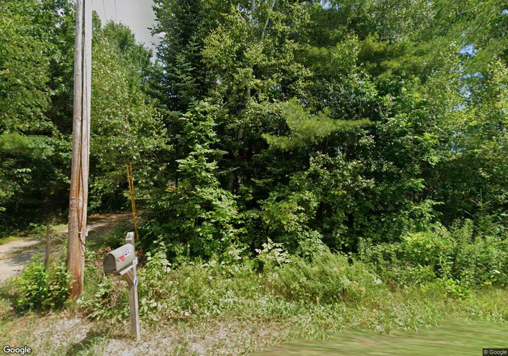
This home is located at 491 Stevens Rd, Unity, ME 04988 and is currently estimated at $361,837. 491 Stevens Rd is a home with nearby schools including Mt. View Middle School, Mt. View High School, and The Mill School.
Ownership History
Date
Name
Owned For
Owner Type
Purchase Details
Closed on
Dec 21, 2018
Sold by
Greaney Matthew and Greaney Holly
Bought by
King Robert
Current Estimated Value
Home Financials for this Owner
Home Financials are based on the most recent Mortgage that was taken out on this home.
Original Mortgage
$90,000
Outstanding Balance
$79,292
Interest Rate
4.8%
Mortgage Type
New Conventional
Estimated Equity
$282,545
Purchase Details
Closed on
Jun 6, 2016
Sold by
Zane Gary G and Vosburgh-Zane Nancy
Bought by
Beeckman Holly and Greaney Matthew
Home Financials for this Owner
Home Financials are based on the most recent Mortgage that was taken out on this home.
Original Mortgage
$85,000
Interest Rate
3.59%
Mortgage Type
New Conventional
Purchase Details
Closed on
Apr 11, 2012
Sold by
Keach Dennis and Keach Edith E
Bought by
Zane Gary G and Vosburgh-Zane Nancy
Create a Home Valuation Report for This Property
The Home Valuation Report is an in-depth analysis detailing your home's value as well as a comparison with similar homes in the area
Purchase History
| Date | Buyer | Sale Price | Title Company |
|---|---|---|---|
| King Robert | -- | -- | |
| Beeckman Holly | -- | -- | |
| Zane Gary G | -- | -- |
Source: Public Records
Mortgage History
| Date | Status | Borrower | Loan Amount |
|---|---|---|---|
| Open | King Robert | $90,000 | |
| Previous Owner | Beeckman Holly | $85,000 |
Source: Public Records
Tax History
| Year | Tax Paid | Tax Assessment Tax Assessment Total Assessment is a certain percentage of the fair market value that is determined by local assessors to be the total taxable value of land and additions on the property. | Land | Improvement |
|---|---|---|---|---|
| 2024 | $4,033 | $266,200 | $68,500 | $197,700 |
| 2022 | $3,382 | $212,700 | $54,800 | $157,900 |
| 2021 | $3,022 | $187,100 | $29,200 | $157,900 |
| 2020 | $3,265 | $187,100 | $29,200 | $157,900 |
| 2019 | $3,265 | $187,100 | $29,200 | $157,900 |
| 2018 | $3,134 | $187,100 | $29,200 | $157,900 |
| 2017 | $3,115 | $187,100 | $29,200 | $157,900 |
| 2016 | $3,153 | $187,100 | $29,200 | $157,900 |
| 2014 | $2,769 | $187,100 | $29,200 | $157,900 |
| 2013 | $2,507 | $187,100 | $29,200 | $157,900 |
Source: Public Records
Map
Nearby Homes
- 39 High St
- Lot 3-1 Bryant Rd
- 149 Carey Ln
- 163 Ayer Ridge Rd
- 12 Country View Ln
- 67 Belfast Rd
- Lot 10 Maine 137
- 19-04 Acorn Ln
- Lot 56 Bailey Rd
- 141 Albion Rd
- 672 & 700 Brooks Rd
- 106 & 108 Ward Hill Rd
- 17 Bean Rd
- 1039 Belfast Rd
- 126 Newell Ct
- M12 L31-3 Stage Coach Rd
- 1079 Belfast Rd
- Pond View Subdivision Us-202
- 13 Chestnut St
- 5 Chestnut St
Your Personal Tour Guide
Ask me questions while you tour the home.