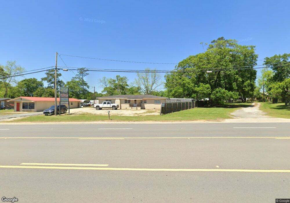
491 Us Highway 319 N Moultrie, GA 31768
Estimated Value: $111,000 - $159,000
--
Bed
1
Bath
1,593
Sq Ft
$82/Sq Ft
Est. Value
About This Home
This home is located at 491 Us Highway 319 N, Moultrie, GA 31768 and is currently estimated at $130,304, approximately $81 per square foot. 491 Us Highway 319 N is a home located in Colquitt County with nearby schools including Okapilco Elementary School, C.A. Gray Junior High School, and Willie J. Williams Middle School.
Ownership History
Date
Name
Owned For
Owner Type
Purchase Details
Closed on
Feb 21, 2007
Sold by
Sumner Suzette
Bought by
Walker & Walker Properties Llc
Current Estimated Value
Purchase Details
Closed on
Feb 14, 2003
Sold by
Ague Norman E
Bought by
Ague Donnia F
Purchase Details
Closed on
Dec 14, 1991
Bought by
Knox Barbara Sue
Purchase Details
Closed on
Aug 29, 1991
Bought by
Ague Norman E
Purchase Details
Closed on
Jun 7, 1990
Bought by
Knox Barbara Sue
Create a Home Valuation Report for This Property
The Home Valuation Report is an in-depth analysis detailing your home's value as well as a comparison with similar homes in the area
Home Values in the Area
Average Home Value in this Area
Purchase History
| Date | Buyer | Sale Price | Title Company |
|---|---|---|---|
| Walker & Walker Properties Llc | $65,000 | -- | |
| Ague Donnia F | -- | -- | |
| Knox Barbara Sue | -- | -- | |
| Ague Norman E | $29,700 | -- | |
| Knox Barbara Sue | -- | -- |
Source: Public Records
Mortgage History
| Date | Status | Borrower | Loan Amount |
|---|---|---|---|
| Closed | Walker & Walker Properties Llc | $0 |
Source: Public Records
Tax History Compared to Growth
Tax History
| Year | Tax Paid | Tax Assessment Tax Assessment Total Assessment is a certain percentage of the fair market value that is determined by local assessors to be the total taxable value of land and additions on the property. | Land | Improvement |
|---|---|---|---|---|
| 2024 | $1,211 | $43,356 | $1,600 | $41,756 |
| 2023 | $914 | $36,219 | $1,600 | $34,619 |
| 2022 | $706 | $29,670 | $1,600 | $28,070 |
| 2021 | $530 | $21,822 | $1,600 | $20,222 |
| 2020 | $539 | $21,822 | $1,600 | $20,222 |
| 2019 | $688 | $25,036 | $1,600 | $23,436 |
| 2018 | $640 | $25,036 | $1,600 | $23,436 |
| 2017 | $681 | $25,036 | $1,600 | $23,436 |
| 2016 | $705 | $25,564 | $1,600 | $23,964 |
| 2015 | $712 | $25,564 | $1,600 | $23,964 |
| 2014 | $698 | $25,564 | $1,600 | $23,964 |
| 2013 | -- | $25,564 | $1,600 | $23,964 |
Source: Public Records
Map
Nearby Homes
- 0 S U Highway 319 N
- 15,23,29 29th Ave NW
- 107 30th Ave NW
- 3233 Sylvester Dr
- 0 Doc Darbyshire Rd
- 1208 Maple St
- 615 1st St NW
- 614 2nd St NW
- 503 2nd St NW
- LL261 Rowland Dr
- 316 5th Ave NW
- 521 5th Ave NW
- 722 Martin Luther King jr Dr
- 619 E Central Ave
- 417 9th St NW
- 408 9th St NW
- 407 1st Ave SE
- 610 1st Ave NW
- 310 1st Ave SW
- 178 Cool Breeze Dr
- 475 Us Highway 319 N Unit A
- 488 Us Highway 319 N
- 109 Evelyn Dr
- 482 Us Highway 319 N
- 508 Us Highway 319 N
- 518 Us Highway 319 N
- 528 Us Highway 319 N
- 538 Us Highway 319 N
- 496 Us Highway 319 N
- 180 Anderson Dr
- 180 Anderson Dr Unit A
- 109 Ga Highway 133 N
- 107 Evelyn Dr
- 423 Us Highway 319 N
- 423A Us Highway 319 N
- 140 Anderson Dr
- 142 Anderson Dr
- 405 Us Highway 319 N
- 0 Georgia 133
- 187 Anderson Dr