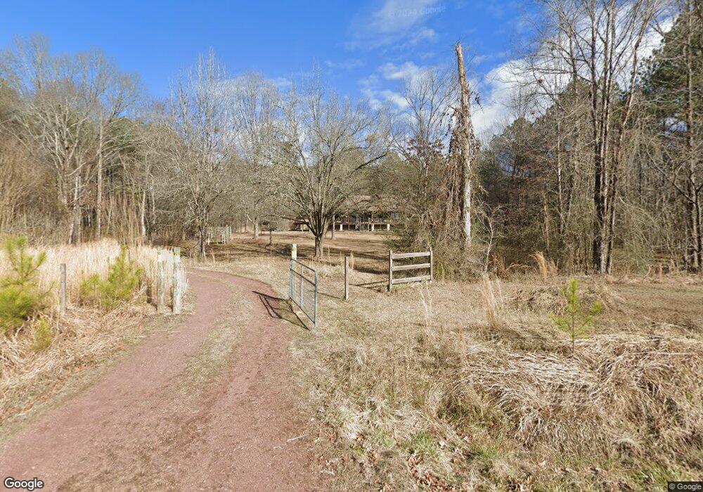
491 W Union Rd NE Calhoun, GA 30701
Estimated Value: $231,882 - $468,000
--
Bed
--
Bath
1,680
Sq Ft
$216/Sq Ft
Est. Value
About This Home
This home is located at 491 W Union Rd NE, Calhoun, GA 30701 and is currently estimated at $362,471, approximately $215 per square foot. 491 W Union Rd NE is a home located in Floyd County with nearby schools including Armuchee Middle School and Armuchee High School.
Ownership History
Date
Name
Owned For
Owner Type
Purchase Details
Closed on
May 10, 1989
Bought by
P and R
Current Estimated Value
Purchase Details
Closed on
Apr 20, 1988
Sold by
Trammell Timothy Allin
Bought by
Buck Monial M and Buck Joanne F
Purchase Details
Closed on
Jun 19, 1987
Bought by
P and R
Purchase Details
Closed on
Mar 28, 1986
Sold by
Trammell Charles Allin and Trammell Joanne F
Bought by
Trammell Timothy Allin
Purchase Details
Closed on
Mar 1, 1986
Bought by
P and R
Purchase Details
Closed on
Sep 8, 1971
Bought by
Trammell Charles Allin and Trammell Joanne F
Create a Home Valuation Report for This Property
The Home Valuation Report is an in-depth analysis detailing your home's value as well as a comparison with similar homes in the area
Home Values in the Area
Average Home Value in this Area
Purchase History
| Date | Buyer | Sale Price | Title Company |
|---|---|---|---|
| P | -- | -- | |
| Buck Monial M | -- | -- | |
| P | -- | -- | |
| Trammell Timothy Allin | -- | -- | |
| P | -- | -- | |
| Trammell Charles Allin | -- | -- |
Source: Public Records
Tax History Compared to Growth
Tax History
| Year | Tax Paid | Tax Assessment Tax Assessment Total Assessment is a certain percentage of the fair market value that is determined by local assessors to be the total taxable value of land and additions on the property. | Land | Improvement |
|---|---|---|---|---|
| 2024 | $1,230 | $90,275 | $10,544 | $79,731 |
| 2023 | $1,194 | $87,316 | $9,585 | $77,731 |
| 2022 | $943 | $71,308 | $7,604 | $63,704 |
| 2021 | $716 | $57,912 | $6,916 | $50,996 |
| 2020 | $666 | $54,814 | $6,014 | $48,800 |
| 2019 | $546 | $48,910 | $6,014 | $42,896 |
| 2018 | $499 | $46,337 | $5,647 | $40,690 |
| 2017 | $471 | $44,780 | $5,229 | $39,551 |
| 2016 | $438 | $39,822 | $5,200 | $34,622 |
| 2015 | $411 | $39,822 | $5,200 | $34,622 |
| 2014 | $411 | $39,822 | $5,200 | $34,622 |
Source: Public Records
Map
Nearby Homes
- 260 Lovers Ln NE
- 1216 Everett Springs Rd NE
- 0 Culpepper Rd NE Unit 7592082
- 0 Culpepper Rd NE Unit 7651484
- 0 Culpepper Rd NE Unit TRACT 1 & 2 10607389
- 0 Culpepper Rd NE Unit 10536672
- 0 Culpepper Rd NE Unit TRACT 1 10540091
- 0 Culpepper Rd NE Unit TRACT 2 10540088
- 325 Everett Springs Rd
- 821 Everett Springs Rd NE
- 1434 Culpepper Rd NE
- 418 Dunaway Gap Rd
- 496 Flat Woods Rd
- 5452 Old Dalton Rd NE
- 2324 Floyd Springs Rd NE
- 2108 Roland Hayes Pkwy SW
- 894 Deerfield Ln NW
- 0 Haywood Valley Rd Unit LotWP001 17065986
- 4569 Old Dalton Rd NE
- 0 Autry Rd SW Unit 414481
- 491 W Union Rd NE
- 531 W Union Rd NE
- 531 W Union Rd NE
- 492 W Union Rd NE
- 494 W Union Rd NE
- 341 W Union Rd NE
- 511 W Union Rd NE
- 532 W Union Rd NE
- 561 W Union Rd NE
- 240 W Union Rd NE
- 541 W Union Rd NE
- 638 W Union Rd NE
- 231 W Union Rd NE
- 704 W Union Rd NE
- 683 W Union Rd NE
- 1968 Everett Springs Rd NE
- 1848 Everett Springs Rd NE
- 1899 Everett Springs Rd NE
- 1899 Everett Springs Rd NE
- 1920 Everett Springs Rd NE