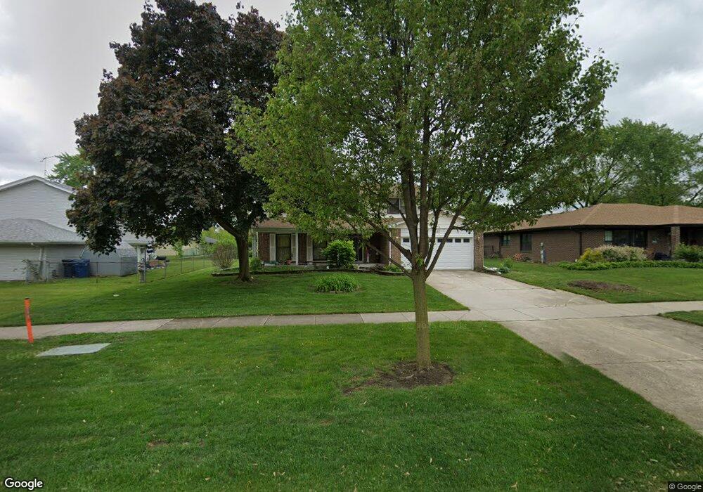
491 W Weathersfield Way Schaumburg, IL 60193
South Schaumburg NeighborhoodEstimated Value: $544,000 - $570,000
4
Beds
3
Baths
2,439
Sq Ft
$229/Sq Ft
Est. Value
About This Home
This home is located at 491 W Weathersfield Way, Schaumburg, IL 60193 and is currently estimated at $557,550, approximately $228 per square foot. 491 W Weathersfield Way is a home located in Cook County with nearby schools including Edwin Aldrin Elementary School, Robert Frost Junior High School, and Schaumburg High School.
Ownership History
Date
Name
Owned For
Owner Type
Purchase Details
Closed on
Jun 15, 2000
Sold by
Roteman Jerome and Roteman Joyce
Bought by
Avva Sudhakar and Avva Lakshmi M
Current Estimated Value
Home Financials for this Owner
Home Financials are based on the most recent Mortgage that was taken out on this home.
Original Mortgage
$220,800
Outstanding Balance
$78,340
Interest Rate
8.31%
Estimated Equity
$479,210
Create a Home Valuation Report for This Property
The Home Valuation Report is an in-depth analysis detailing your home's value as well as a comparison with similar homes in the area
Home Values in the Area
Average Home Value in this Area
Purchase History
| Date | Buyer | Sale Price | Title Company |
|---|---|---|---|
| Avva Sudhakar | $276,000 | Chicago Title Insurance Co |
Source: Public Records
Mortgage History
| Date | Status | Borrower | Loan Amount |
|---|---|---|---|
| Open | Avva Sudhakar | $220,800 |
Source: Public Records
Tax History Compared to Growth
Tax History
| Year | Tax Paid | Tax Assessment Tax Assessment Total Assessment is a certain percentage of the fair market value that is determined by local assessors to be the total taxable value of land and additions on the property. | Land | Improvement |
|---|---|---|---|---|
| 2024 | $9,276 | $36,431 | $6,869 | $29,562 |
| 2023 | $8,967 | $36,431 | $6,869 | $29,562 |
| 2022 | $8,967 | $36,431 | $6,869 | $29,562 |
| 2021 | $8,683 | $31,979 | $4,661 | $27,318 |
| 2020 | $8,602 | $31,979 | $4,661 | $27,318 |
| 2019 | $8,712 | $35,932 | $4,661 | $31,271 |
| 2018 | $8,074 | $30,340 | $4,170 | $26,170 |
| 2017 | $7,965 | $30,340 | $4,170 | $26,170 |
| 2016 | $8,139 | $31,961 | $4,170 | $27,791 |
| 2015 | $7,623 | $28,105 | $3,679 | $24,426 |
| 2014 | $7,556 | $28,105 | $3,679 | $24,426 |
| 2013 | $7,345 | $28,105 | $3,679 | $24,426 |
Source: Public Records
Map
Nearby Homes
- 712 Dante Ct
- 516 W Weathersfield Way
- 315 Ashwood Dr
- 412 Redwood Ln
- 635 Limerick Ln Unit 2B
- 631 Derry Ct Unit 3C
- 614 Tralee Ct Unit 2-C
- 226 Timbercrest Dr
- 711 Tipperary Ct Unit 2D
- 733 Limerick Ln Unit 7333D
- 415 Laconia Ln
- 220 Kemah Ln
- 305 Williams Dr
- 818 Brentwood Ct
- 32 Hilltop Dr
- 12 Stone Bridge Ct
- 11 Stone Bridge Ct
- 300 S Roselle Rd Unit 519
- 300 S Roselle Rd Unit 419
- 300 S Roselle Rd Unit 116
- 495 W Weathersfield Way
- 604 S Cedarcrest Dr
- 430 Janine Ln
- 436 Janine Ln
- 499 W Weathersfield Way
- 610 S Cedarcrest Dr
- 504 Janine Ln
- 428 W Weathersfield Way
- 503 W Weathersfield Way
- 530 S Cedarcrest Dr
- 508 Janine Ln
- 417 W Weathersfield Way Unit 14
- 523 Redwood Ln
- 613 S Cedarcrest Dr
- 507 W Weathersfield Way
- 512 Janine Ln
- 433 Janine Ln
- 524 S Cedarcrest Dr
- 416 W Weathersfield Way
- 429 Janine Ln