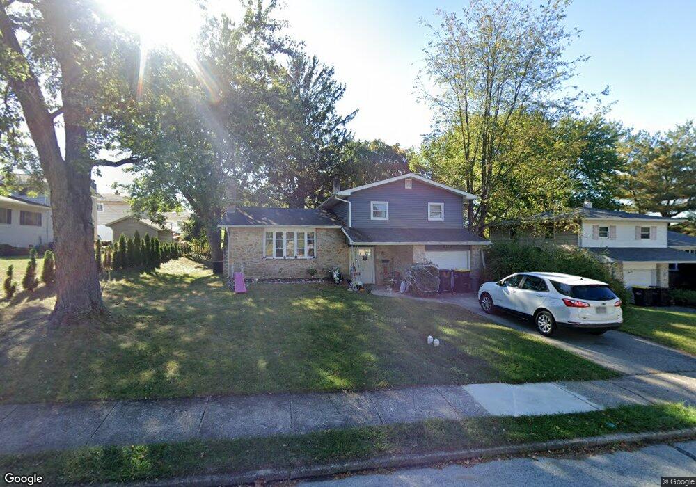
491 Yale Dr King of Prussia, PA 19406
Estimated Value: $504,000 - $525,000
3
Beds
2
Baths
1,736
Sq Ft
$295/Sq Ft
Est. Value
About This Home
This home is located at 491 Yale Dr, King of Prussia, PA 19406 and is currently estimated at $511,987, approximately $294 per square foot. 491 Yale Dr is a home located in Montgomery County with nearby schools including Caley Elementary School, Upper Merion Middle School, and Upper Merion High School.
Ownership History
Date
Name
Owned For
Owner Type
Purchase Details
Closed on
Dec 23, 2005
Sold by
Santoro Umberto S and Emanuela Palumbo M
Bought by
Merritt Keith Forrest and Merritt Lori Michelle
Current Estimated Value
Home Financials for this Owner
Home Financials are based on the most recent Mortgage that was taken out on this home.
Original Mortgage
$28,490
Outstanding Balance
$15,838
Interest Rate
6.28%
Estimated Equity
$496,149
Purchase Details
Closed on
Nov 29, 1998
Sold by
Enger David J and Enger Anne M
Bought by
Santoro Umberto S and Palumbo Emanuela
Create a Home Valuation Report for This Property
The Home Valuation Report is an in-depth analysis detailing your home's value as well as a comparison with similar homes in the area
Home Values in the Area
Average Home Value in this Area
Purchase History
| Date | Buyer | Sale Price | Title Company |
|---|---|---|---|
| Merritt Keith Forrest | $284,900 | Trident Land Transfer Co | |
| Santoro Umberto S | $155,000 | -- |
Source: Public Records
Mortgage History
| Date | Status | Borrower | Loan Amount |
|---|---|---|---|
| Open | Merritt Keith Forrest | $28,490 | |
| Open | Merritt Keith Forrest | $227,920 |
Source: Public Records
Tax History Compared to Growth
Tax History
| Year | Tax Paid | Tax Assessment Tax Assessment Total Assessment is a certain percentage of the fair market value that is determined by local assessors to be the total taxable value of land and additions on the property. | Land | Improvement |
|---|---|---|---|---|
| 2025 | $4,169 | $135,280 | -- | -- |
| 2024 | $4,169 | $135,280 | -- | -- |
| 2023 | $4,021 | $135,280 | $0 | $0 |
| 2022 | $3,849 | $135,280 | $0 | $0 |
| 2021 | $3,730 | $135,280 | $0 | $0 |
| 2020 | $3,564 | $135,280 | $0 | $0 |
| 2019 | $3,503 | $135,280 | $0 | $0 |
| 2018 | $3,504 | $135,280 | $0 | $0 |
| 2017 | $3,378 | $135,280 | $0 | $0 |
| 2016 | $3,325 | $135,280 | $0 | $0 |
| 2015 | $3,202 | $135,280 | $0 | $0 |
| 2014 | $3,202 | $135,280 | $0 | $0 |
Source: Public Records
Map
Nearby Homes
- 351 Riverview Rd
- 156 Green Hill Rd
- 237 E Valley Forge Rd
- 243 Chapel Ln Unit 79A
- 251 Chapel Ln Unit 83B
- 603 Nantucket Cir
- 245 Chapel Ln Unit 80B
- 319 Aspen Way
- 313 Aspen Way
- 313 Aspen Way Unit HS 164- BRENTFORD
- 315 Aspen Way Unit HS 163- CARISBROOKE
- 345 W Signal Hill Rd
- 200 Prince Frederick St Unit J3
- Penwyn Elite Plan at Stonebrook at Upper Merion - Townes Collection
- Lanfair Plan at Stonebrook at Upper Merion - Townes Collection
- Wyndale Elite Plan at Stonebrook at Upper Merion - Townes Collection
- Carisbrooke Elite Plan at Stonebrook at Upper Merion - Townes Collection
- Brentford Elite Plan at Stonebrook at Upper Merion - Townes Collection
- Avonwood Elite Plan at Stonebrook at Upper Merion - Townes Collection
- Brentford Plan at Stonebrook at Upper Merion - Townes Collection
- 218 Riverview Rd
- 495 Yale Dr
- 210 Riverview Rd
- 209 Anderson Rd
- 492 Yale Dr Unit 33
- 204 Riverview Rd
- 203 Anderson Rd
- 230 Riverview Rd
- 496 Yale Dr
- 197 Anderson Rd Unit 50
- 198 Riverview Rd
- 215 Riverview Rd
- 239 Anderson Rd
- 221 Riverview Rd
- 229 Riverview Rd
- 224 Anderson Rd
- 505 Princeton Dr
- 203 Riverview Rd
- 216 Anderson Rd
- 191 Anderson Rd