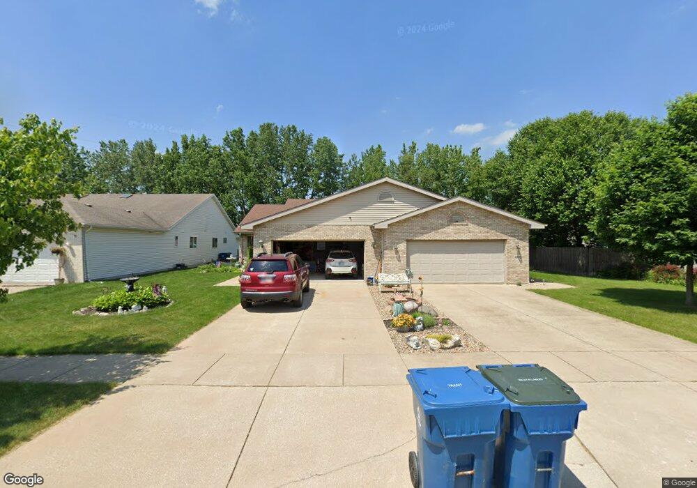
4910 W 92nd Ave Crown Point, IN 46307
Estimated Value: $266,000 - $322,505
3
Beds
3
Baths
1,368
Sq Ft
$218/Sq Ft
Est. Value
About This Home
This home is located at 4910 W 92nd Ave, Crown Point, IN 46307 and is currently estimated at $298,126, approximately $217 per square foot. 4910 W 92nd Ave is a home located in Lake County with nearby schools including Hal E Clark Middle School, Peifer Elementary School, and Lake Central High School.
Ownership History
Date
Name
Owned For
Owner Type
Purchase Details
Closed on
Feb 17, 2017
Sold by
Luefling Susan L and Whtten Susan L
Bought by
Luefling Adam and Luefling Susan L
Current Estimated Value
Home Financials for this Owner
Home Financials are based on the most recent Mortgage that was taken out on this home.
Original Mortgage
$58,500
Interest Rate
4.19%
Mortgage Type
Commercial
Create a Home Valuation Report for This Property
The Home Valuation Report is an in-depth analysis detailing your home's value as well as a comparison with similar homes in the area
Home Values in the Area
Average Home Value in this Area
Purchase History
| Date | Buyer | Sale Price | Title Company |
|---|---|---|---|
| Luefling Adam | -- | Meridian Title Corp |
Source: Public Records
Mortgage History
| Date | Status | Borrower | Loan Amount |
|---|---|---|---|
| Closed | Luefling Adam | $58,500 |
Source: Public Records
Tax History Compared to Growth
Tax History
| Year | Tax Paid | Tax Assessment Tax Assessment Total Assessment is a certain percentage of the fair market value that is determined by local assessors to be the total taxable value of land and additions on the property. | Land | Improvement |
|---|---|---|---|---|
| 2024 | $5,551 | $275,300 | $44,500 | $230,800 |
| 2023 | $2,415 | $272,600 | $44,500 | $228,100 |
| 2022 | $2,415 | $251,100 | $41,400 | $209,700 |
| 2021 | $2,139 | $230,500 | $41,400 | $189,100 |
| 2020 | $2,039 | $217,600 | $41,400 | $176,200 |
| 2019 | $1,999 | $198,500 | $36,600 | $161,900 |
| 2018 | $1,995 | $196,300 | $36,600 | $159,700 |
| 2017 | $1,930 | $199,600 | $36,600 | $163,000 |
| 2016 | $1,692 | $180,600 | $36,600 | $144,000 |
| 2014 | $1,675 | $187,000 | $36,600 | $150,400 |
| 2013 | $1,691 | $184,500 | $36,600 | $147,900 |
Source: Public Records
Map
Nearby Homes
- 4862 W 92nd Ave
- 5012 W 92nd Ave
- 9251 Clark Place
- 9195 Williams St
- 4944 W 89th Terrace
- 9017 Mathews St
- 5063 W 89th Ct
- 4229 W 92nd Place
- 9204 Wright St
- 8748 Durbin Ln
- 8849 Calhoun Place
- 1667 Chalone Ct
- 4930 W 84th Terrace
- 6308 W 91st Ave
- 6076 Wexford Way
- 6501 W 89th Ave
- 841 Veterans Ln
- 6440 W 89th Ave
- The Aster Plan at Liberty Estates
- 3046 W 84th Place
- 4912 W 92nd Ave
- 4862 W 92nd Ave Unit 1
- 4860 W 92nd Ave
- 4860 W 92nd Ave Unit 2
- 4920 W 92nd Ave
- 4922 W 92nd Ave
- 4852 W 92nd Ave
- 4930 W 92nd Ave
- 4850 W 92nd Ave
- 4932 W 92nd Ave
- 4911 W 92nd Ave
- 4861 W 92nd Ave
- 4913 W 92nd Ave
- 4842 W 92nd Ave
- 4921 W 92nd Ave
- 4940 W 92nd Ave
- 4923 W 92nd Ave
- 4853 W 92nd Ave
- 9132 Clark Rd
- 4942 W 92nd Ave