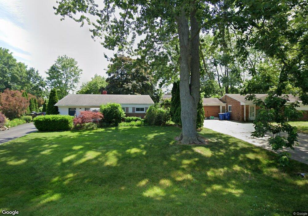
4911 Clinton Way Dr Waterford, MI 48328
Waterford Township NeighborhoodEstimated Value: $296,000 - $342,000
3
Beds
2
Baths
1,848
Sq Ft
$175/Sq Ft
Est. Value
About This Home
This home is located at 4911 Clinton Way Dr, Waterford, MI 48328 and is currently estimated at $323,333, approximately $174 per square foot. 4911 Clinton Way Dr is a home located in Oakland County with nearby schools including Cooley Elementary School, Pierce Middle School, and Waterford Kettering High School.
Ownership History
Date
Name
Owned For
Owner Type
Purchase Details
Closed on
Apr 23, 2021
Sold by
Anderson Timothy D
Bought by
Anderson Timothy D
Current Estimated Value
Purchase Details
Closed on
Apr 12, 2010
Sold by
Anderson Sherri L
Bought by
Anderson Timothy D
Purchase Details
Closed on
Mar 29, 2000
Sold by
Anderson Elua E
Bought by
Anderson Timothy D
Home Financials for this Owner
Home Financials are based on the most recent Mortgage that was taken out on this home.
Original Mortgage
$114,250
Interest Rate
8.14%
Create a Home Valuation Report for This Property
The Home Valuation Report is an in-depth analysis detailing your home's value as well as a comparison with similar homes in the area
Home Values in the Area
Average Home Value in this Area
Purchase History
| Date | Buyer | Sale Price | Title Company |
|---|---|---|---|
| Anderson Timothy D | -- | None Available | |
| Anderson Timothy D | -- | None Available | |
| Anderson Timothy D | $149,000 | -- |
Source: Public Records
Mortgage History
| Date | Status | Borrower | Loan Amount |
|---|---|---|---|
| Previous Owner | Anderson Timothy D | $114,250 |
Source: Public Records
Tax History Compared to Growth
Tax History
| Year | Tax Paid | Tax Assessment Tax Assessment Total Assessment is a certain percentage of the fair market value that is determined by local assessors to be the total taxable value of land and additions on the property. | Land | Improvement |
|---|---|---|---|---|
| 2024 | $1,453 | $133,840 | $0 | $0 |
| 2023 | $1,386 | $126,630 | $0 | $0 |
| 2022 | $2,184 | $122,100 | $0 | $0 |
| 2021 | $2,066 | $104,320 | $0 | $0 |
| 2020 | $1,242 | $102,070 | $0 | $0 |
| 2019 | $2,018 | $95,090 | $0 | $0 |
| 2018 | $2,003 | $91,290 | $0 | $0 |
| 2017 | $1,842 | $91,290 | $0 | $0 |
| 2016 | $1,838 | $75,040 | $0 | $0 |
| 2015 | -- | $64,890 | $0 | $0 |
| 2014 | -- | $52,740 | $0 | $0 |
| 2011 | -- | $52,620 | $0 | $0 |
Source: Public Records
Map
Nearby Homes
- 4741 Maycrest Dr
- 1727 Crescent Lake Rd
- 1358 Hillcrest Dr Unit 4
- 2190 Crescent Lake Rd
- 2164 Georgeland Dr
- 1360 Nancywood Dr
- 1620 Irwin Dr
- 4255 Lakewood Dr
- 1571 Alma Ave
- 5357 Farm Rd
- 4935 Pontiac Lake Rd
- 867 Saybrook Dr
- 4241 S Shore St
- 5251 Pontiac Lake Rd
- 2685 Diane Marie Ct Unit 1
- 4040 Lark Ave
- 00 Highland Rd
- 4073 Silver Birch Dr
- 2751 Marlington Rd
- 261 Hershey Blvd
- 4905 Clinton Way Dr
- 4922 Crestbrook Dr
- 4897 Clinton Way Dr
- 4897 Clinton Way Dr
- 4908 Crestbrook Dr
- 4897 Clintonway Dr
- 4952 Crestbrook Dr
- 4889 Clinton Way Dr
- 4894 Crestbrook Dr
- 4896 Clinton Way Dr
- 4896 Clinton Way Dr
- 4889 Clinton Way Dr
- 4964 Crestbrook Dr
- 1744 Crescent Lake Rd
- 4882 Crestbrook Dr
- 4888 Clinton Way Dr
- 4881 Clintonway Dr
- 4881 Clinton Way Dr
- 4915 Crestbrook Dr
- 4927 Crestbrook Dr