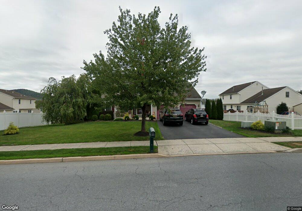
4911 Dunham Dr Reading, PA 19606
Estimated Value: $417,000 - $446,000
4
Beds
3
Baths
2,208
Sq Ft
$195/Sq Ft
Est. Value
About This Home
This home is located at 4911 Dunham Dr, Reading, PA 19606 and is currently estimated at $431,395, approximately $195 per square foot. 4911 Dunham Dr is a home located in Berks County with nearby schools including Owatin Creek Elementary School, Exeter Township Junior High School, and Exeter Township Senior High School.
Ownership History
Date
Name
Owned For
Owner Type
Purchase Details
Closed on
Jul 14, 2004
Sold by
Ponton Joseph and Ponton Jackeline
Bought by
Stanley Richard J and Stanley Denise M
Current Estimated Value
Purchase Details
Closed on
Aug 23, 2001
Sold by
Forino Co Lp and Smith John G
Bought by
Ponton Joseph and Ponton Jackeline
Home Financials for this Owner
Home Financials are based on the most recent Mortgage that was taken out on this home.
Original Mortgage
$140,400
Interest Rate
7.05%
Create a Home Valuation Report for This Property
The Home Valuation Report is an in-depth analysis detailing your home's value as well as a comparison with similar homes in the area
Home Values in the Area
Average Home Value in this Area
Purchase History
| Date | Buyer | Sale Price | Title Company |
|---|---|---|---|
| Stanley Richard J | $219,900 | -- | |
| Ponton Joseph | $147,815 | -- |
Source: Public Records
Mortgage History
| Date | Status | Borrower | Loan Amount |
|---|---|---|---|
| Previous Owner | Ponton Joseph | $140,400 |
Source: Public Records
Tax History
| Year | Tax Paid | Tax Assessment Tax Assessment Total Assessment is a certain percentage of the fair market value that is determined by local assessors to be the total taxable value of land and additions on the property. | Land | Improvement |
|---|---|---|---|---|
| 2025 | $2,196 | $145,400 | $43,400 | $102,000 |
| 2024 | $6,905 | $145,400 | $43,400 | $102,000 |
| 2023 | $6,679 | $145,400 | $43,400 | $102,000 |
| 2022 | $6,605 | $145,400 | $43,400 | $102,000 |
| 2021 | $6,504 | $145,400 | $43,400 | $102,000 |
| 2020 | $6,432 | $145,400 | $43,400 | $102,000 |
| 2019 | $6,361 | $145,400 | $43,400 | $102,000 |
| 2018 | $6,342 | $145,400 | $43,400 | $102,000 |
| 2017 | $6,251 | $145,400 | $43,400 | $102,000 |
| 2016 | $1,560 | $145,400 | $43,400 | $102,000 |
| 2015 | $1,560 | $145,400 | $43,400 | $102,000 |
| 2014 | $1,506 | $145,400 | $43,400 | $102,000 |
Source: Public Records
Map
Nearby Homes
- 4910 Dunham Dr
- 30 Estates Dr
- 99 Constitution Ave
- 840 Shelbourne Rd
- 71 Winchester Ct
- 4020 Grant St
- 0 S Fairway Dr Unit PABK2068302
- 0 Perkiomen Ave Unit PABK2061892
- 132 Rugby Rd
- 11 Valley Dr
- 211 Poplar Dr
- 222 Poplar Dr
- 28 Sagebrook Dr
- 390 Wingspread Dr
- 4652 Pheasant Run N
- 124 Fairmount Ave
- 1 Fairway Dr
- 2 Fairway Dr
- 4981 Persimmon Dr
- 3804 Saint Lawrence Ave
Your Personal Tour Guide
Ask me questions while you tour the home.