4911 Highway 101 N Seaside, OR 97138
Estimated Value: $555,000 - $594,000
3
Beds
2
Baths
1,659
Sq Ft
$343/Sq Ft
Est. Value
About This Home
This home is located at 4911 Highway 101 N, Seaside, OR 97138 and is currently estimated at $569,560, approximately $343 per square foot. 4911 Highway 101 N is a home located in Clatsop County with nearby schools including Seaside High School.
Ownership History
Date
Name
Owned For
Owner Type
Purchase Details
Closed on
Mar 14, 2018
Sold by
Gronmark James
Bought by
Gronmark James H and Gronmark Family Revocable Trust
Current Estimated Value
Purchase Details
Closed on
Mar 21, 2016
Sold by
Gronmark Trudy and Gronmark James
Bought by
Gronmark James
Create a Home Valuation Report for This Property
The Home Valuation Report is an in-depth analysis detailing your home's value as well as a comparison with similar homes in the area
Home Values in the Area
Average Home Value in this Area
Purchase History
| Date | Buyer | Sale Price | Title Company |
|---|---|---|---|
| Gronmark James H | -- | None Available | |
| Gronmark James | -- | None Available |
Source: Public Records
Tax History Compared to Growth
Tax History
| Year | Tax Paid | Tax Assessment Tax Assessment Total Assessment is a certain percentage of the fair market value that is determined by local assessors to be the total taxable value of land and additions on the property. | Land | Improvement |
|---|---|---|---|---|
| 2024 | $3,319 | $290,236 | -- | -- |
| 2023 | $3,227 | $281,784 | $0 | $0 |
| 2022 | $3,130 | $273,578 | $0 | $0 |
| 2021 | $3,195 | $265,611 | $0 | $0 |
| 2020 | $3,082 | $257,876 | $0 | $0 |
| 2019 | $3,003 | $250,366 | $0 | $0 |
| 2018 | $2,894 | $243,075 | $0 | $0 |
| 2017 | $2,817 | $235,996 | $0 | $0 |
| 2016 | $2,434 | $229,123 | $60,409 | $168,714 |
| 2015 | $2,278 | $222,450 | $58,650 | $163,800 |
| 2014 | $2,237 | $215,972 | $0 | $0 |
| 2013 | -- | $209,683 | $0 | $0 |
Source: Public Records
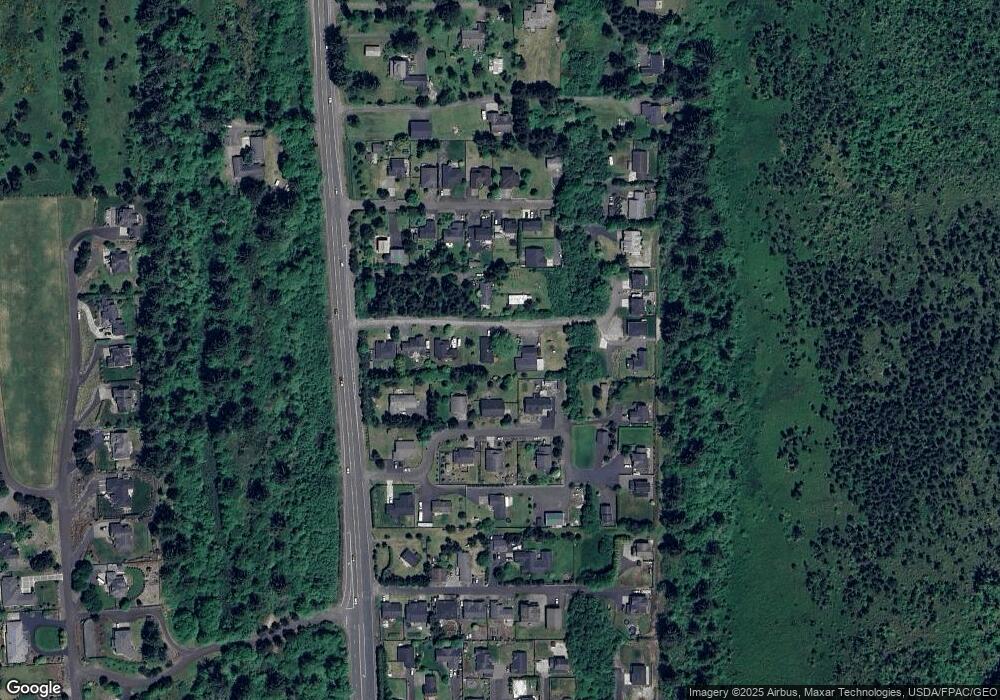
Map
Nearby Homes
- 2998 Pine Ct
- 2499 Pine Ridge Dr
- 5399 Drummond Dr
- 1348 Dooley Ln
- 568 Browning Ln
- 88769 Teal Rd
- 88790 Dawson Rd
- 4586 Drummond Ct
- 1309 Cottonwood Ln
- Lot 58 High Ridge Rd
- 0 High Ridge Rd Unit 278550860
- Lot 59 High Ridge Rd
- 0 Vl High Ridge Rd Unit Lot 58
- 5270 High Ridge Rd
- 4830 Butterfly Ln
- 88724 Schroeder Rd
- 88271 McCormick Gardens Rd
- 88708 Surfsands Rd
- 4580 Fairway Ave
- 1350 Sunrise Ridge Rd
- 1330 Sunrise Ridge Rd
- 1320 Sunrise Ridge Rd
- 4909 Gronmark Ln
- 4943 Highway 101 N
- 4915 Gronmark Ln
- 1363 Eastpine Ln
- 1345 Sunrise Ridge Rd
- 1335 Sunrise Ridge Rd
- 4916 Gronmark Ln
- 4907 U S 101
- 4907 Highway 101 N
- 1801 Gronmark Ln
- 4905 U S 101
- 1325 Sunrise Ridge Rd
- 1370 Sunrise Ridge Rd
- 1363 E Pine Dr
- 4918 Gronmark Ln
- 0 Eastpine Dr Unit 15684989
- 1375 Sunrise Ridge