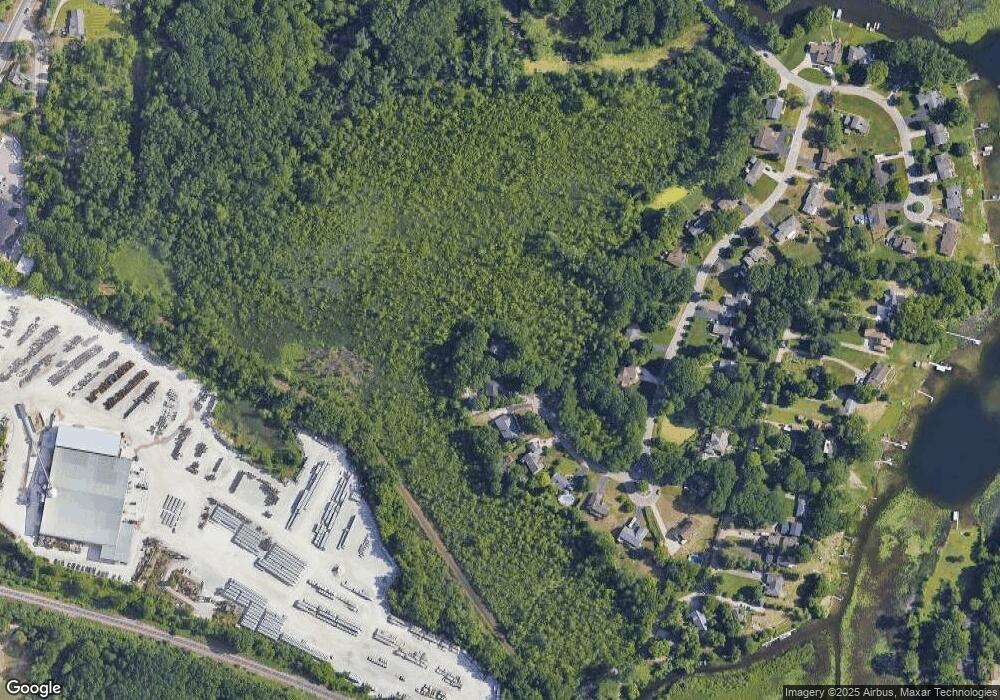
4912 Paula Ave Unit 13 Clarkston, MI 48346
Estimated Value: $442,000 - $495,000
3
Beds
3
Baths
1,900
Sq Ft
$249/Sq Ft
Est. Value
About This Home
This home is located at 4912 Paula Ave Unit 13, Clarkston, MI 48346 and is currently estimated at $472,197, approximately $248 per square foot. 4912 Paula Ave Unit 13 is a home located in Oakland County with nearby schools including Springfield Christian Academy, Our Lady Of The Lakes Catholic School, and Everest Academy.
Ownership History
Date
Name
Owned For
Owner Type
Purchase Details
Closed on
May 2, 2023
Sold by
Briney Timothy R Le
Bought by
Briney Timothy and Briney Timothy
Current Estimated Value
Purchase Details
Closed on
Apr 26, 2011
Sold by
Bongiovanni Paul D and Bongiovanni Jennifer M
Bought by
Briney Timothy R
Purchase Details
Closed on
Oct 13, 1999
Sold by
Lamarra Richard
Bought by
Bongiovanni Paul D
Purchase Details
Closed on
Sep 15, 1995
Sold by
Clarkston Land Co Inc
Bought by
Lamarra Richard
Create a Home Valuation Report for This Property
The Home Valuation Report is an in-depth analysis detailing your home's value as well as a comparison with similar homes in the area
Home Values in the Area
Average Home Value in this Area
Purchase History
| Date | Buyer | Sale Price | Title Company |
|---|---|---|---|
| Briney Timothy | -- | None Listed On Document | |
| Briney Timothy R | $213,000 | Capital Title Ins Agency | |
| Bongiovanni Paul D | $295,000 | -- | |
| Lamarra Richard | $53,000 | -- |
Source: Public Records
Tax History Compared to Growth
Tax History
| Year | Tax Paid | Tax Assessment Tax Assessment Total Assessment is a certain percentage of the fair market value that is determined by local assessors to be the total taxable value of land and additions on the property. | Land | Improvement |
|---|---|---|---|---|
| 2024 | $3,135 | $222,400 | $42,400 | $180,000 |
| 2023 | $4,227 | $198,000 | $38,200 | $159,800 |
| 2022 | $4,227 | $180,500 | $33,800 | $146,700 |
| 2021 | $4,228 | $173,500 | $34,100 | $139,400 |
| 2020 | $2,737 | $170,800 | $31,700 | $139,100 |
| 2018 | $4,035 | $169,000 | $26,900 | $142,100 |
| 2015 | -- | $145,900 | $0 | $0 |
| 2014 | -- | $131,300 | $0 | $0 |
| 2011 | -- | $121,000 | $0 | $0 |
Source: Public Records
Map
Nearby Homes
- 5021 Paula Ave
- 7490 Andersonville Rd
- 6689 Andersonville Rd
- 4619 Curtis Ln
- 6629 Andersonville Rd Unit A8
- 6723 Andersonville Rd Unit E42
- 4602 Curtis Ln
- 4475 N Meadow Dr
- 5690 White Lake Rd
- 6685 Windiate Rd
- 7314 Village Park Dr Unit 47
- 7509 Maple Ridge Dr
- 6788 Balmoral Terrace
- 7651 Maple Ridge Ct Unit 28
- 7541 Maple Ridge Dr
- 00 Blain Island
- 6832 Northcrest Way E Unit 31
- 7950 Clement Rd
- 7513 Maple Ridge Dr
- 4123 Windiate Park Dr
- 4920 Paula Ave
- 4995 Paula Ave
- 4987 Paula Ave
- 4944 Paula Ave
- 5011 Paula Ave
- 4952 Paula Ave Unit 8
- 4984 Paula Ave Unit 4
- 4960 Paula Ave
- 4992 Paula Ave Unit 3
- 4976 Paula Ave
- 5000 Paula Ave
- 5008 Paula Ave
- 4968 Paula Ave
- 5035 Paula Ave
- 4908 Hillcrest Dr
- 5022 Paula Ave
- 4876 Hillcrest Dr
- 5055 Paula Ave
- 5046 Paula Ave
- 4884 Hillcrest Dr
