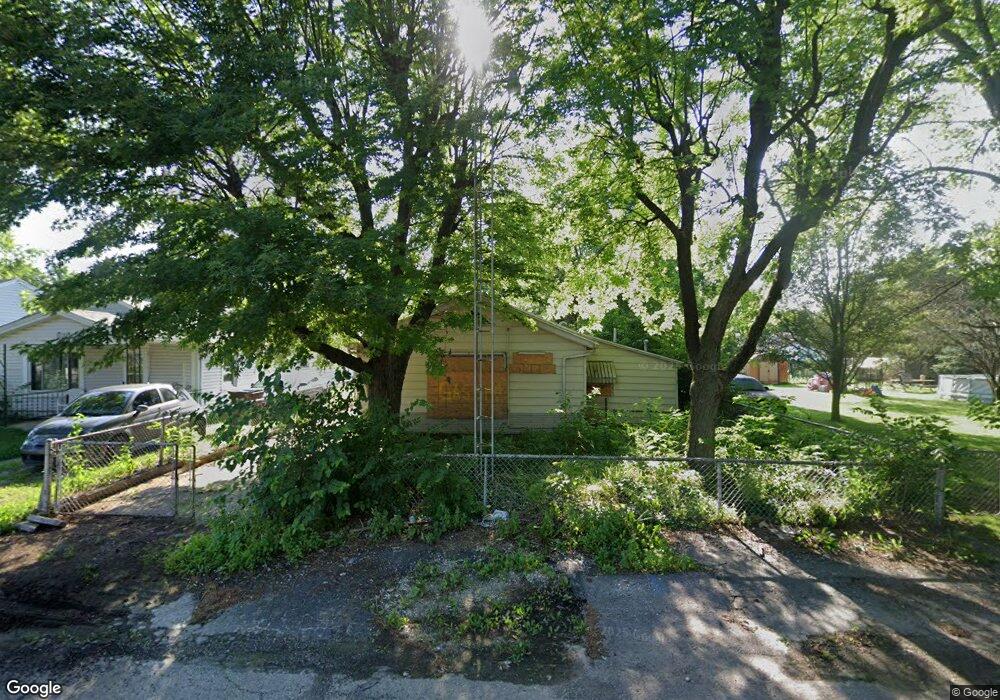
4912 Wire Dr Dayton, OH 45414
Northridge NeighborhoodEstimated Value: $65,657 - $90,000
1
Bed
1
Bath
873
Sq Ft
$87/Sq Ft
Est. Value
About This Home
This home is located at 4912 Wire Dr, Dayton, OH 45414 and is currently estimated at $76,164, approximately $87 per square foot. 4912 Wire Dr is a home located in Montgomery County with nearby schools including Northridge High School, Horizon Science Academy-Dayton Elementary School, and Horizon Science Academy Dayton High School.
Ownership History
Date
Name
Owned For
Owner Type
Purchase Details
Closed on
Sep 20, 2013
Sold by
Bilyeu Kenneth A
Bought by
Bilyeu Kenneth A
Current Estimated Value
Purchase Details
Closed on
Feb 28, 2003
Sold by
Bilyeu Kenneth A Tr
Bought by
Bilyeu Kenneth A
Home Financials for this Owner
Home Financials are based on the most recent Mortgage that was taken out on this home.
Original Mortgage
$20,200
Interest Rate
6%
Purchase Details
Closed on
Jan 29, 1999
Sold by
Bilyeu Kenneth A
Bought by
Bilyeu Kenneth A
Create a Home Valuation Report for This Property
The Home Valuation Report is an in-depth analysis detailing your home's value as well as a comparison with similar homes in the area
Home Values in the Area
Average Home Value in this Area
Purchase History
| Date | Buyer | Sale Price | Title Company |
|---|---|---|---|
| Bilyeu Kenneth A | -- | None Available | |
| Bilyeu Kenneth A | -- | Titlequest Agency Inc | |
| Bilyeu Kenneth A | -- | -- |
Source: Public Records
Mortgage History
| Date | Status | Borrower | Loan Amount |
|---|---|---|---|
| Closed | Bilyeu Kenneth A | $20,200 |
Source: Public Records
Tax History
| Year | Tax Paid | Tax Assessment Tax Assessment Total Assessment is a certain percentage of the fair market value that is determined by local assessors to be the total taxable value of land and additions on the property. | Land | Improvement |
|---|---|---|---|---|
| 2025 | $2,952 | $15,630 | $3,640 | $11,990 |
| 2024 | $1,322 | $15,630 | $3,640 | $11,990 |
| 2023 | $1,322 | $15,630 | $3,640 | $11,990 |
| 2022 | $1,253 | $11,330 | $2,640 | $8,690 |
| 2021 | $1,226 | $11,330 | $2,640 | $8,690 |
| 2020 | $321 | $11,330 | $2,640 | $8,690 |
| 2019 | $328 | $11,130 | $2,370 | $8,760 |
| 2018 | $329 | $11,130 | $2,370 | $8,760 |
| 2017 | $327 | $11,130 | $2,370 | $8,760 |
| 2016 | $252 | $10,470 | $2,640 | $7,830 |
| 2015 | $224 | $10,470 | $2,640 | $7,830 |
| 2014 | $224 | $10,470 | $2,640 | $7,830 |
| 2012 | -- | $16,980 | $2,820 | $14,160 |
Source: Public Records
Map
Nearby Homes
- 2637 Keenan Ave
- 2327 Lodell Ave
- 2212 Sherer Ave
- 2650 Onaoto Ave
- 2147 Neff Rd
- 2118 Titus Ave
- 2110 Needmore Rd
- 3413 Rolfe Ave
- 3832 Ridge Ave
- 5217 Suncrest Dr
- 5148 Sierra Cir
- 5170 Sportscraft Dr
- 5530 Sierra Cir
- 5092 Scotsman Dr
- 5036 Silver Dome Dr
- 4908 Northcutt Place
- 2160 Martin Ave
- 3111 N Dixie Dr
- 2211 Martin Ave
- 5231 Scotsman Dr
Your Personal Tour Guide
Ask me questions while you tour the home.