4913 Cartersville Hwy Dallas, GA 30132
Estimated Value: $526,000 - $707,000
3
Beds
3
Baths
3,952
Sq Ft
$163/Sq Ft
Est. Value
About This Home
This home is located at 4913 Cartersville Hwy, Dallas, GA 30132 and is currently estimated at $644,038, approximately $162 per square foot. 4913 Cartersville Hwy is a home with nearby schools including Northside Elementary School, Lena Mae Moses Middle School, and North Paulding High School.
Ownership History
Date
Name
Owned For
Owner Type
Purchase Details
Closed on
Sep 9, 2021
Sold by
Womack Felicia H
Bought by
Womack Brent C
Current Estimated Value
Purchase Details
Closed on
Nov 13, 2018
Sold by
Jaime A Pace Enterprises Inc
Bought by
Behrens Cody
Purchase Details
Closed on
Dec 30, 2008
Sold by
Womack Felicia H
Bought by
Womack Douglas
Purchase Details
Closed on
Oct 31, 2008
Sold by
Womack Brent
Bought by
Womack Douglas
Create a Home Valuation Report for This Property
The Home Valuation Report is an in-depth analysis detailing your home's value as well as a comparison with similar homes in the area
Home Values in the Area
Average Home Value in this Area
Purchase History
| Date | Buyer | Sale Price | Title Company |
|---|---|---|---|
| Womack Brent C | -- | -- | |
| Behrens Cody | $236,000 | -- | |
| Jaime A Pace Enterprises Inc | -- | -- | |
| Womack Douglas | -- | -- | |
| Womack Douglas | -- | -- |
Source: Public Records
Tax History Compared to Growth
Tax History
| Year | Tax Paid | Tax Assessment Tax Assessment Total Assessment is a certain percentage of the fair market value that is determined by local assessors to be the total taxable value of land and additions on the property. | Land | Improvement |
|---|---|---|---|---|
| 2024 | $6,024 | $245,424 | $47,080 | $198,344 |
| 2023 | $5,991 | $232,316 | $45,920 | $186,396 |
| 2022 | $5,468 | $211,628 | $36,920 | $174,708 |
| 2021 | $4,825 | $167,884 | $31,240 | $136,644 |
| 2020 | $3,906 | $133,372 | $31,240 | $102,132 |
| 2019 | $3,782 | $127,388 | $29,720 | $97,668 |
| 2018 | $3,867 | $130,208 | $24,600 | $105,608 |
| 2017 | $3,662 | $121,728 | $23,560 | $98,168 |
| 2016 | $2,903 | $97,880 | $22,120 | $75,760 |
| 2015 | $2,814 | $93,296 | $21,520 | $71,776 |
| 2014 | $2,627 | $85,076 | $19,440 | $65,636 |
| 2013 | -- | $78,040 | $21,160 | $56,880 |
Source: Public Records
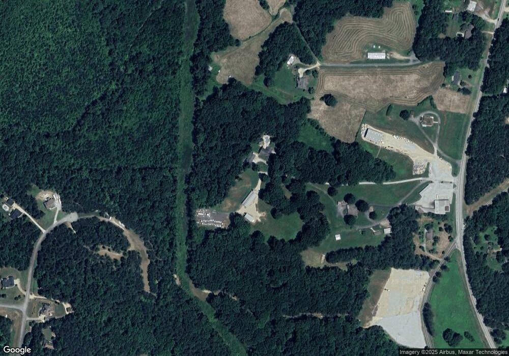
Map
Nearby Homes
- 0 Forest Creek
- 59 Observation Ct
- 59 Observation Ct Unit 129
- 290 Mount Moriah Rd
- 292 Mount Moriah Rd
- 177 Muriel Ct
- 0 Observation Pointe
- 181 Observation Point
- 70 Meridian Point
- 70 Meridian Point Unit 182
- 250 Observation Pointe
- 250 Observation Pointe Unit 140
- 500 Principal Meridian Dr
- 55 Meridian Point
- 94 Radian Ct
- 68 Lakeview Terrace
- 84 Principal Pointe
- 321 Principal Meridian Dr
- 330 Amsterdam Way
- 263 Principal Meridian Dr
- 5055 Cartersville Hwy
- 4911 Cartersville Hwy
- 4929 Cartersville Hwy
- 528 Blacks Cabin Way
- 5057 Cartersville Hwy
- 4893 Cartersville Hwy
- 765 Rockstore Rd
- 745 Rockstore Rd
- 5025 Cartersville Hwy
- 5059 Cartersville Hwy
- 509 Blacks Cabin Way
- 5012 Cartersville Hwy
- 10 Mount Moriah Rd
- 615 Rockstore Rd
- 5095 Cartersville Hwy
- 82 Forest Creek
- 425 Blacks Cabin Way
- 663 Rockstore Rd
- 94 Mount Moriah Rd
- 382 Blacks Cabin Way