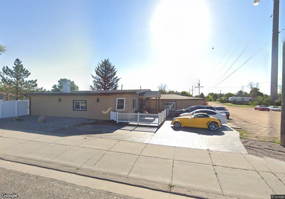
4913 Ridge Rd Cheyenne, WY 82009
Ranchettes NeighborhoodEstimated Value: $437,000 - $496,000
4
Beds
3
Baths
3,338
Sq Ft
$140/Sq Ft
Est. Value
About This Home
This home is located at 4913 Ridge Rd, Cheyenne, WY 82009 and is currently estimated at $467,274, approximately $139 per square foot. 4913 Ridge Rd is a home located in Laramie County with nearby schools including Baggs Elementary School, Carey Junior High School, and East High School.
Ownership History
Date
Name
Owned For
Owner Type
Purchase Details
Closed on
Apr 20, 2023
Sold by
Ackels Gary Leroy
Bought by
Adekale Yvonne
Current Estimated Value
Purchase Details
Closed on
Nov 7, 2008
Sold by
Adams Gary and Adams Dottie
Bought by
Adekale Adebowale and Adekale Yvonne
Home Financials for this Owner
Home Financials are based on the most recent Mortgage that was taken out on this home.
Original Mortgage
$169,500
Interest Rate
6.08%
Mortgage Type
Commercial
Create a Home Valuation Report for This Property
The Home Valuation Report is an in-depth analysis detailing your home's value as well as a comparison with similar homes in the area
Home Values in the Area
Average Home Value in this Area
Purchase History
| Date | Buyer | Sale Price | Title Company |
|---|---|---|---|
| Adekale Yvonne | -- | None Listed On Document | |
| Adekale Adebowale | -- | None Available |
Source: Public Records
Mortgage History
| Date | Status | Borrower | Loan Amount |
|---|---|---|---|
| Previous Owner | Adekale Adebowale | $169,500 |
Source: Public Records
Tax History Compared to Growth
Tax History
| Year | Tax Paid | Tax Assessment Tax Assessment Total Assessment is a certain percentage of the fair market value that is determined by local assessors to be the total taxable value of land and additions on the property. | Land | Improvement |
|---|---|---|---|---|
| 2025 | $2,597 | $35,222 | $2,273 | $32,949 |
| 2024 | $2,597 | $38,641 | $3,031 | $35,610 |
| 2023 | $2,449 | $37,272 | $3,031 | $34,241 |
| 2022 | $1,950 | $29,025 | $3,031 | $25,994 |
| 2021 | $1,783 | $26,471 | $3,031 | $23,440 |
| 2020 | $1,759 | $26,203 | $3,031 | $23,172 |
| 2019 | $1,605 | $23,883 | $2,197 | $21,686 |
| 2018 | $1,001 | $15,054 | $2,099 | $12,955 |
| 2017 | $1,509 | $22,463 | $2,615 | $19,848 |
| 2016 | $1,452 | $21,608 | $2,615 | $18,993 |
| 2015 | $1,360 | $20,223 | $2,577 | $17,646 |
| 2014 | $1,422 | $21,007 | $2,577 | $18,430 |
Source: Public Records
Map
Nearby Homes
- 4816 Ridge Rd
- 3315 Dean Paul Dr
- 5208 Danielle Ct
- 3716 Everton Dr
- 3808 Gregg Way Unit 3
- 5021 Sagebrush Ave
- 5246 Danielle Ct
- 5260 Shadow Rock Dr
- 5253 Shadow Rock Dr
- 3117 Douglas St
- 3728 Sunrise Hills Dr
- 3732 Sunrise Hills Dr
- 5004 Newland Ave
- 5040 Greybull Ave
- 5044 Greybull Ave
- 5402 Hilltop Ave
- 4104 Rogers Ave
- 4013 Cobblestone Ct
- 5618 Dayton Dr
- 5502 Canyon Rd
- 3411 Everton Dr
- 3410 Everton Dr
- 3416 Everton Dr
- 3504 Miles Ct
- 5004 Ridge Rd
- 5001 Ridge Rd Unit 13
- 4912 Ridge Rd
- 4906 Ridge Rd
- 3419 Miles Ct
- 3410 Green Ct
- 5008 Ridge Rd
- 4789 Vosler Place
- 3405 Victoria Dr
- 3506 Miles Ct
- 3304 Basin St
- 3508 Everton Dr
- 3420 Green Ct
- 3505 Miles Ct
- 3413 Victoria Dr
- Lots 9 & 12 Vosler Place