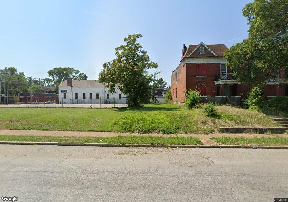
4914 Saint Louis Ave Saint Louis, MO 63115
Kingsway NeighborhoodEstimated Value: $58,202 - $122,000
--
Bed
2
Baths
2,112
Sq Ft
$39/Sq Ft
Est. Value
About This Home
This home is located at 4914 Saint Louis Ave, Saint Louis, MO 63115 and is currently estimated at $83,401, approximately $39 per square foot. 4914 Saint Louis Ave is a home located in St. Louis City with nearby schools including Lexington Elementary School, Sumner High School, and North Side Community Elementary School.
Ownership History
Date
Name
Owned For
Owner Type
Purchase Details
Closed on
Mar 10, 2011
Sold by
Murphy James W
Bought by
Land Reutilization Authority
Current Estimated Value
Purchase Details
Closed on
Jun 21, 2004
Sold by
Lewis Mitchell Co
Bought by
Pitchford Ladonna
Home Financials for this Owner
Home Financials are based on the most recent Mortgage that was taken out on this home.
Original Mortgage
$22,800
Interest Rate
6.32%
Mortgage Type
Seller Take Back
Purchase Details
Closed on
Jan 6, 2004
Sold by
Cavitt Hazel
Bought by
Lewis Mitchell Co
Create a Home Valuation Report for This Property
The Home Valuation Report is an in-depth analysis detailing your home's value as well as a comparison with similar homes in the area
Home Values in the Area
Average Home Value in this Area
Purchase History
| Date | Buyer | Sale Price | Title Company |
|---|---|---|---|
| Land Reutilization Authority | $13,000 | None Available | |
| Pitchford Ladonna | -- | -- | |
| Lewis Mitchell Co | -- | -- |
Source: Public Records
Mortgage History
| Date | Status | Borrower | Loan Amount |
|---|---|---|---|
| Previous Owner | Pitchford Ladonna | $22,800 |
Source: Public Records
Tax History Compared to Growth
Tax History
| Year | Tax Paid | Tax Assessment Tax Assessment Total Assessment is a certain percentage of the fair market value that is determined by local assessors to be the total taxable value of land and additions on the property. | Land | Improvement |
|---|---|---|---|---|
| 2025 | -- | $490 | $490 | -- |
| 2024 | -- | $490 | $490 | -- |
| 2023 | -- | $490 | $490 | $0 |
| 2022 | -- | $490 | $490 | -- |
| 2021 | $0 | $490 | $490 | $0 |
| 2020 | $0 | $490 | $490 | $0 |
| 2019 | $0 | $490 | $490 | $0 |
| 2018 | $0 | $1,760 | $490 | $1,270 |
| 2017 | $0 | $1,770 | $490 | $1,270 |
| 2016 | $0 | $2,000 | $720 | $1,270 |
| 2015 | -- | $1,990 | $720 | $1,270 |
| 2014 | -- | $1,990 | $720 | $1,270 |
| 2013 | -- | $2,130 | $950 | $1,180 |
Source: Public Records
Map
Nearby Homes
- 2834 N Euclid Ave
- 2832 N Euclid Ave
- 4950 Labadie Ave
- 4810 Saint Louis Ave
- 4845-4847 Northland Ave
- 4860 Northland Ave
- 4830 Ashland Ave
- 4755 Saint Louis Ave
- 4753 Maffitt Ave
- 4822 Ashland Ave
- 5049 Saint Louis Ave
- 4741 Greer Ave
- 5151 Terry Ave
- 5119 Terry Ave
- 4721 Northland Ave
- 5126 Terry Ave
- 5109 Northland Ave
- 5123 Greer Ave
- 5130 Greer Ave
- 5139 Northland Ave
- 4916 Saint Louis Ave
- 4918 Saint Louis Ave
- 4920 Saint Louis Ave
- 4922 Saint Louis Ave
- 4924 Saint Louis Ave
- 4911 Terry Ave
- 4915 Terry Ave
- 4928 Saint Louis Ave
- 4909 Saint Louis Ave
- 4921 Terry Ave
- 4909 Terry Ave
- 4930 Saint Louis Ave
- 4925 Terry Ave
- 4919 Terry Ave
- 4915 Saint Louis Ave
- 4911 Saint Louis Ave
- 4919 Saint Louis Ave
- 4921 Saint Louis Ave
- 4929 Terry Ave
- 4905 Saint Louis Ave