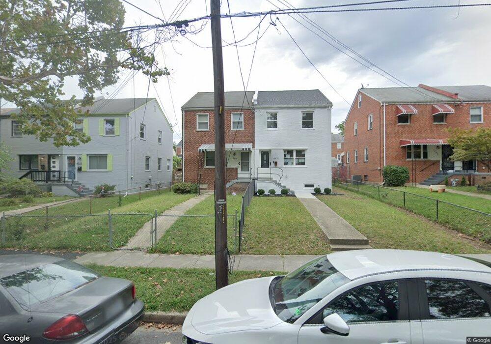
4915 12th St NE Washington, DC 20017
Michigan Park NeighborhoodEstimated Value: $431,000 - $545,000
3
Beds
1
Bath
1,080
Sq Ft
$445/Sq Ft
Est. Value
About This Home
This home is located at 4915 12th St NE, Washington, DC 20017 and is currently estimated at $480,265, approximately $444 per square foot. 4915 12th St NE is a home located in District of Columbia with nearby schools including Bunker Hill Elementary School, Brookland Middle School, and Dunbar High School.
Ownership History
Date
Name
Owned For
Owner Type
Purchase Details
Closed on
Aug 14, 1995
Sold by
Marshall Lawrence M
Bought by
Brown Virginia S
Current Estimated Value
Home Financials for this Owner
Home Financials are based on the most recent Mortgage that was taken out on this home.
Original Mortgage
$108,300
Interest Rate
7.48%
Create a Home Valuation Report for This Property
The Home Valuation Report is an in-depth analysis detailing your home's value as well as a comparison with similar homes in the area
Home Values in the Area
Average Home Value in this Area
Purchase History
| Date | Buyer | Sale Price | Title Company |
|---|---|---|---|
| Brown Virginia S | $114,000 | -- |
Source: Public Records
Mortgage History
| Date | Status | Borrower | Loan Amount |
|---|---|---|---|
| Closed | Brown Virginia S | $108,300 |
Source: Public Records
Tax History Compared to Growth
Tax History
| Year | Tax Paid | Tax Assessment Tax Assessment Total Assessment is a certain percentage of the fair market value that is determined by local assessors to be the total taxable value of land and additions on the property. | Land | Improvement |
|---|---|---|---|---|
| 2025 | $3,185 | $464,500 | $318,980 | $145,520 |
| 2024 | $3,128 | $455,100 | $317,370 | $137,730 |
| 2023 | $2,870 | $447,100 | $309,920 | $137,180 |
| 2022 | $2,650 | $417,880 | $292,220 | $125,660 |
| 2021 | $2,427 | $403,020 | $287,920 | $115,100 |
| 2020 | $2,212 | $394,070 | $280,940 | $113,130 |
| 2019 | $2,017 | $370,450 | $258,810 | $111,640 |
| 2018 | $1,845 | $347,600 | $0 | $0 |
| 2017 | $1,685 | $318,290 | $0 | $0 |
| 2016 | $1,537 | $279,060 | $0 | $0 |
| 2015 | $1,400 | $237,570 | $0 | $0 |
| 2014 | $1,283 | $221,120 | $0 | $0 |
Source: Public Records
Map
Nearby Homes
- 4956 Sargent Rd NE
- 4913 12th St NE
- 4911 Sargent Rd NE
- 4937 11th St NE
- 4822 S Dakota Ave NE
- 1251 Emerson St NE
- 5008 11th St NE
- 4803 10th St NE
- 5035 Sargent Rd NE
- 5008 10th St NE
- 5024 10th St NE
- 832 Delafield St NE
- 1261 Gallatin St NE
- 5031 S Dakota Ave NE
- 5047 13th St NE
- 838 Buchanan St NE
- 5051 8th St NE
- 735 Emerson St NE
- 4509 12th St NE
- 4526 South Dakota Ave NE
- 4919 12th St NE
- 4921 12th St NE
- 4909 12th St NE
- 4907 12th St NE
- 4925 12th St NE
- 4927 12th St NE
- 4903 12th St NE
- 4922 Sargent Rd NE
- 4920 Sargent Rd NE
- 4901 12th St NE
- 4926 Sargent Rd NE
- 4931 12th St NE
- 4916 Sargent Rd NE
- 4928 Sargent Rd NE
- 4932 Sargent Rd NE
- 4914 Sargent Rd NE
- 4933 12th St NE
- 4839 12th St NE
- 4914 12th St NE
- 4934 Sargent Rd NE