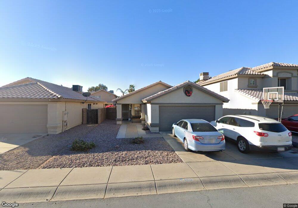
4915 W Oraibi Dr Glendale, AZ 85308
Deer Valley NeighborhoodEstimated Value: $331,989 - $385,000
Studio
2
Baths
1,350
Sq Ft
$271/Sq Ft
Est. Value
About This Home
This home is located at 4915 W Oraibi Dr, Glendale, AZ 85308 and is currently estimated at $365,997, approximately $271 per square foot. 4915 W Oraibi Dr is a home located in Maricopa County with nearby schools including Mountain Shadows Elementary School, Desert Sky Middle School, and Deer Valley High School.
Ownership History
Date
Name
Owned For
Owner Type
Purchase Details
Closed on
Jun 22, 2021
Sold by
Duncan Margaret and Vaughn Margaret
Bought by
Duncan Margaret
Current Estimated Value
Home Financials for this Owner
Home Financials are based on the most recent Mortgage that was taken out on this home.
Original Mortgage
$131,500
Outstanding Balance
$115,217
Interest Rate
2.9%
Mortgage Type
New Conventional
Estimated Equity
$250,780
Purchase Details
Closed on
Jan 27, 1995
Sold by
Beazer Homes Sales Arizona Inc
Bought by
Duncan Jeff and Vaughn Margaret
Home Financials for this Owner
Home Financials are based on the most recent Mortgage that was taken out on this home.
Original Mortgage
$84,356
Interest Rate
9.28%
Mortgage Type
New Conventional
Create a Home Valuation Report for This Property
The Home Valuation Report is an in-depth analysis detailing your home's value as well as a comparison with similar homes in the area
Home Values in the Area
Average Home Value in this Area
Purchase History
| Date | Buyer | Sale Price | Title Company |
|---|---|---|---|
| Duncan Margaret | -- | Mortgage Connect Lp | |
| Duncan Jeff | $84,923 | Lawyers Title | |
| Beazer Homes Sales Arizona Inc | -- | Lawyers Title |
Source: Public Records
Mortgage History
| Date | Status | Borrower | Loan Amount |
|---|---|---|---|
| Open | Duncan Margaret | $131,500 | |
| Closed | Duncan Jeff | $84,356 |
Source: Public Records
Tax History
| Year | Tax Paid | Tax Assessment Tax Assessment Total Assessment is a certain percentage of the fair market value that is determined by local assessors to be the total taxable value of land and additions on the property. | Land | Improvement |
|---|---|---|---|---|
| 2025 | $1,387 | $15,954 | -- | -- |
| 2024 | $1,350 | $15,194 | -- | -- |
| 2023 | $1,350 | $27,030 | $5,400 | $21,630 |
| 2022 | $1,300 | $20,780 | $4,150 | $16,630 |
| 2021 | $1,358 | $18,860 | $3,770 | $15,090 |
| 2020 | $1,333 | $17,620 | $3,520 | $14,100 |
| 2019 | $1,292 | $16,600 | $3,320 | $13,280 |
| 2018 | $1,247 | $15,200 | $3,040 | $12,160 |
| 2017 | $1,204 | $13,800 | $2,760 | $11,040 |
| 2016 | $1,136 | $13,550 | $2,710 | $10,840 |
| 2015 | $1,014 | $11,780 | $2,350 | $9,430 |
Source: Public Records
Map
Nearby Homes
- 19436 N 50th Ave
- 5031 W Oraibi Dr
- 4741 W Marco Polo Rd
- 5028 W Kristal Way
- 4967 W Escuda Dr
- 4760 W Wahalla Ln
- 4783 W Ponderosa Ln
- 5153 W Topeka Dr
- 18805 N 49th Dr
- 20283 N 51st Dr Unit 8B
- 5259 W Pontiac Dr Unit 8A
- 4807 W Julie Dr
- 4787 W Morrow Dr
- 4218 W Beardsley Rd
- 4752 W Mcrae Way
- 20387 N 53rd Ave
- 5330 W Pontiac Dr
- 4413 W Oraibi Dr
- 4439 W Wescott Dr
- 4405 W Oraibi Dr
- 4917 W Oraibi Dr
- 4911 W Oraibi Dr
- 4923 W Oraibi Dr
- 4907 W Oraibi Dr
- 4914 W Wikieup Ln
- 4918 W Wikieup Ln
- 4910 W Wikieup Ln
- 4925 W Oraibi Dr
- 4903 W Oraibi Dr
- 4922 W Wikieup Ln
- 4906 W Wikieup Ln
- 4914 W Oraibi Dr
- 4918 W Oraibi Dr
- 4912 W Oraibi Dr
- 4924 W Wikieup Ln
- 4902 W Wikieup Ln
- 4929 W Oraibi Dr
- 4922 W Oraibi Dr
- 4908 W Oraibi Dr
- 4924 W Oraibi Dr
Your Personal Tour Guide
Ask me questions while you tour the home.