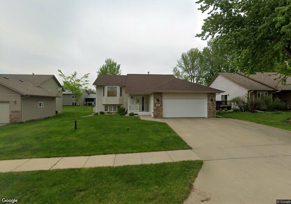
4916 E Maywood Dr Sioux Falls, SD 57110
East Side NeighborhoodEstimated Value: $322,000 - $364,000
3
Beds
2
Baths
1,750
Sq Ft
$196/Sq Ft
Est. Value
About This Home
This home is located at 4916 E Maywood Dr, Sioux Falls, SD 57110 and is currently estimated at $342,285, approximately $195 per square foot. 4916 E Maywood Dr is a home located in Minnehaha County with nearby schools including Harvey Dunn Elementary School, Washington High School, and Train Up A Child Preschool/Kindergarten.
Ownership History
Date
Name
Owned For
Owner Type
Purchase Details
Closed on
Sep 15, 2020
Sold by
Kadariya Devi C and Chhetri Geeta
Bought by
Olson Alexandra J
Current Estimated Value
Purchase Details
Closed on
Jul 17, 2017
Sold by
Siwakoti Om N and Sharma Goma
Bought by
Kadariya Devi C
Purchase Details
Closed on
Dec 16, 2013
Sold by
Medhaug Eric D and Medhaug Jackelyn S
Bought by
Siwakoti Om N and Sharma Goma
Home Financials for this Owner
Home Financials are based on the most recent Mortgage that was taken out on this home.
Original Mortgage
$100,000
Interest Rate
4.17%
Mortgage Type
Stand Alone First
Purchase Details
Closed on
Dec 7, 2011
Sold by
Daily Daniel R
Bought by
Medhaug Eric D and Medhaug Jackelyn S
Create a Home Valuation Report for This Property
The Home Valuation Report is an in-depth analysis detailing your home's value as well as a comparison with similar homes in the area
Home Values in the Area
Average Home Value in this Area
Purchase History
| Date | Buyer | Sale Price | Title Company |
|---|---|---|---|
| Olson Alexandra J | $245,000 | Getty Abstract And Title Co | |
| Kadariya Devi C | $190,000 | -- | |
| Siwakoti Om N | $169,000 | -- | |
| Medhaug Eric D | -- | -- |
Source: Public Records
Mortgage History
| Date | Status | Borrower | Loan Amount |
|---|---|---|---|
| Previous Owner | Siwakoti Om N | $100,000 |
Source: Public Records
Map
Nearby Homes
- 5117 E Blueridge Dr
- 5015 E Newcastle St
- 4504 E Kearney Place
- 4804 E Blueridge Dr
- 4409 E 36th St
- 3412 S Harmony Dr
- 4409 E 37th St
- 5508 E Morningside Cir
- 3300 S Sundrop Ave
- 2213 S Saddle Ridge Dr
- 5504 E Surrey Cir Cir
- 4700 E Alpine Cir
- 2309 S Red Oak Ave
- 2212 S Saddle Ridge Dr
- 5505 E Morningside Cir
- 5509 E Morningside Cir
- 5600 E Surrey Cir
- 2305 S Red Oak Ave
- 2208 S Saddle Ridge Dr
- 3415 S Fernwood Ave
- 4920 E Maywood Dr
- 4912 E Maywood Dr
- 4909 E 36th St
- 4905 E 36th St
- 4924 E Maywood Dr
- 4908 E Maywood Dr
- 4901 E 36th St
- 4913 E 36th St
- 4917 E Maywood Dr
- 4913 E Maywood Dr
- 4921 E Maywood Dr
- 4821 E 36th St
- 4928 E Maywood Dr
- 4904 E Maywood Dr
- 4917 E 36th St
- 4909 E Maywood Dr
- 4925 E Maywood Dr
- 4817 E 36th St
- 2809 S Alpine Ave
- 4929 E Maywood Dr
Your Personal Tour Guide
Ask me questions while you tour the home.