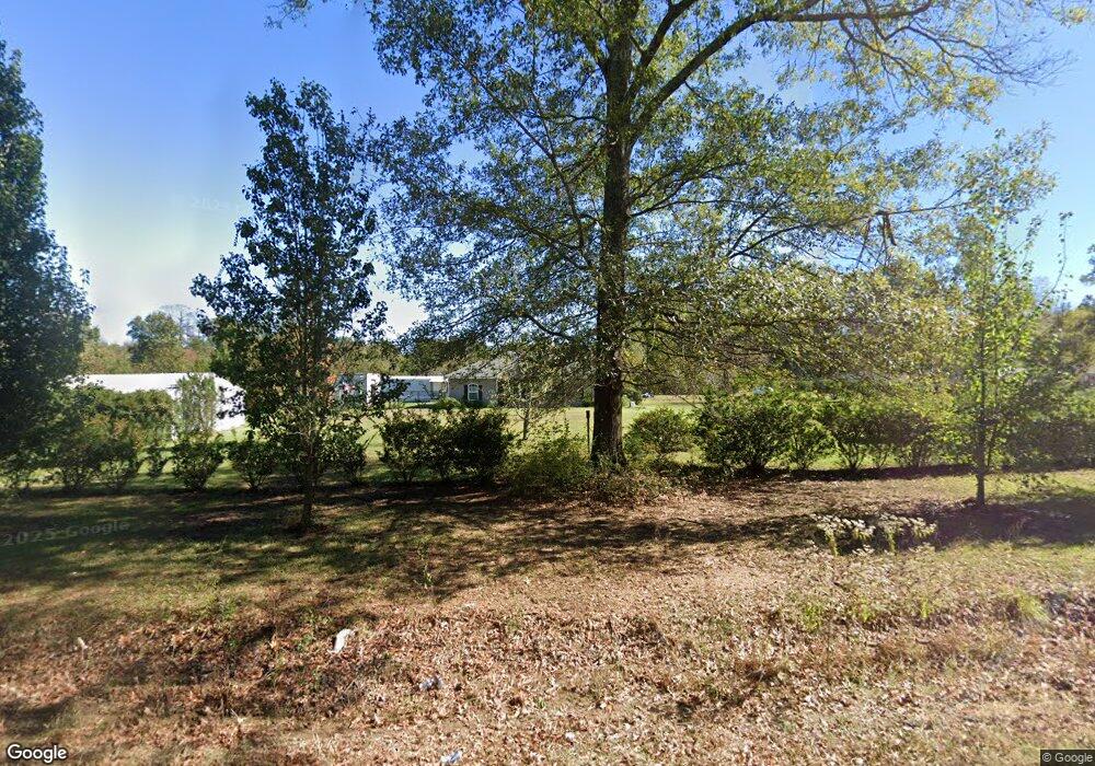
4916 Highway 139 Collinston, LA 71229
Estimated Value: $224,000 - $528,731
3
Beds
2
Baths
1,600
Sq Ft
$248/Sq Ft
Est. Value
About This Home
This home is located at 4916 Highway 139, Collinston, LA 71229 and is currently estimated at $396,433, approximately $247 per square foot. 4916 Highway 139 is a home with nearby schools including Swartz Lower Elementary School, Swartz Upper Elementary School, and Ouachita Junior High School.
Ownership History
Date
Name
Owned For
Owner Type
Purchase Details
Closed on
Dec 7, 2011
Sold by
Martin Sidney Larry and Martin Tammy Louise Parker
Bought by
Parker Gary Michael and Parker Deborah Ann Herrington Welborn
Current Estimated Value
Home Financials for this Owner
Home Financials are based on the most recent Mortgage that was taken out on this home.
Original Mortgage
$22,640
Outstanding Balance
$15,502
Interest Rate
4.03%
Mortgage Type
Purchase Money Mortgage
Estimated Equity
$380,931
Purchase Details
Closed on
Aug 2, 2007
Sold by
Roberts Clarence Lee and Roberts Mary Brock
Bought by
Parker Gary Michael and Herrington Parker Deborah Ann
Home Financials for this Owner
Home Financials are based on the most recent Mortgage that was taken out on this home.
Original Mortgage
$26,484
Interest Rate
6.73%
Mortgage Type
FHA
Create a Home Valuation Report for This Property
The Home Valuation Report is an in-depth analysis detailing your home's value as well as a comparison with similar homes in the area
Home Values in the Area
Average Home Value in this Area
Purchase History
| Date | Buyer | Sale Price | Title Company |
|---|---|---|---|
| Parker Gary Michael | $300,000 | None Available | |
| Parker Gary Michael | $39,960 | North Delta Title & Abstract |
Source: Public Records
Mortgage History
| Date | Status | Borrower | Loan Amount |
|---|---|---|---|
| Open | Parker Gary Michael | $22,640 | |
| Previous Owner | Parker Gary Michael | $26,484 |
Source: Public Records
Tax History Compared to Growth
Tax History
| Year | Tax Paid | Tax Assessment Tax Assessment Total Assessment is a certain percentage of the fair market value that is determined by local assessors to be the total taxable value of land and additions on the property. | Land | Improvement |
|---|---|---|---|---|
| 2024 | $1,177 | $15,189 | $2,730 | $12,459 |
| 2023 | $1,177 | $15,189 | $2,730 | $12,459 |
| 2022 | $2,174 | $15,189 | $2,730 | $12,459 |
| 2021 | $2,192 | $15,887 | $2,730 | $13,157 |
| 2020 | $2,192 | $15,887 | $2,730 | $13,157 |
| 2019 | $2,161 | $15,887 | $2,730 | $13,157 |
| 2018 | $1,091 | $15,887 | $2,730 | $13,157 |
| 2017 | $992 | $6,945 | $2,730 | $4,215 |
| 2016 | $968 | $5,866 | $2,730 | $3,136 |
| 2015 | -- | $5,866 | $2,730 | $3,136 |
| 2014 | -- | $5,866 | $2,730 | $3,136 |
| 2013 | -- | $5,866 | $2,730 | $3,136 |
Source: Public Records
Map
Nearby Homes
- 0 Morgan Hare Rd Unit 11234661
- 4360 Hwy 134 Unit 1
- 4232 Highway 134
- 4025 Highway 134
- TBD Louisiana 139
- 0 Sivils Rd
- 1184 Morgan Hare Rd
- 114 Wham Dr
- 109 Wham Dr
- 110 Wham Dr
- 102 Wham Dr
- 113 Wham Dr
- 106 Wham Dr
- 108 Wham Dr
- 1172 Morgan Hare Rd
- 107 Caroline Ln
- 103 Caroline Ln
- 118 Caroline Ln
- 201 Caroline Ln
- 206 Caroline Ln
- 5001 Highway 139
- 5001 Highway 139
- 4979 Highway 139
- 4903 Highway 139
- 4890 Highway 139
- 5307 Louisiana 139
- 4968 Highway 139
- 4968 Louisiana 139
- 138 Carley Ln
- 4951 Highway 139
- 172 Sally Ln
- 5021 Highway 139
- 222 Sally Ln
- 3078 Highway 134
- 168 Shannon Ln
- 5037 Highway 139
- 5037 Highway 139
- 5059 Highway 139
- 5073 Highway 139
- 228 Adolphus Rd
