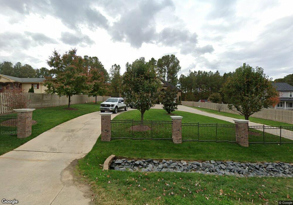
4916 Lumley Rd Durham, NC 27703
Estimated Value: $552,000 - $591,000
4
Beds
4
Baths
2,480
Sq Ft
$230/Sq Ft
Est. Value
About This Home
This home is located at 4916 Lumley Rd, Durham, NC 27703 and is currently estimated at $570,000, approximately $229 per square foot. 4916 Lumley Rd is a home located in Durham County with nearby schools including Bethesda Elementary School, John W Neal Middle School, and Southern School of Energy & Sustainability.
Ownership History
Date
Name
Owned For
Owner Type
Purchase Details
Closed on
Jan 22, 2004
Sold by
Mosqueda Silfida R
Bought by
Espitia Jose Daniel
Current Estimated Value
Home Financials for this Owner
Home Financials are based on the most recent Mortgage that was taken out on this home.
Original Mortgage
$150,000
Interest Rate
5.87%
Mortgage Type
New Conventional
Purchase Details
Closed on
Oct 18, 2000
Sold by
Zografos Dimitrios P and Zografos Vasiliki Z
Bought by
Tally Juan M
Create a Home Valuation Report for This Property
The Home Valuation Report is an in-depth analysis detailing your home's value as well as a comparison with similar homes in the area
Home Values in the Area
Average Home Value in this Area
Purchase History
| Date | Buyer | Sale Price | Title Company |
|---|---|---|---|
| Espitia Jose Daniel | -- | -- | |
| Tally Juan M | $33,000 | -- |
Source: Public Records
Mortgage History
| Date | Status | Borrower | Loan Amount |
|---|---|---|---|
| Closed | Espitia Jose Daniel | $150,000 |
Source: Public Records
Tax History Compared to Growth
Tax History
| Year | Tax Paid | Tax Assessment Tax Assessment Total Assessment is a certain percentage of the fair market value that is determined by local assessors to be the total taxable value of land and additions on the property. | Land | Improvement |
|---|---|---|---|---|
| 2025 | $6,192 | $624,667 | $126,750 | $497,917 |
| 2024 | $4,867 | $348,926 | $33,740 | $315,186 |
| 2023 | $4,571 | $348,926 | $33,740 | $315,186 |
| 2022 | $4,466 | $348,926 | $33,740 | $315,186 |
| 2021 | $4,445 | $348,926 | $33,740 | $315,186 |
| 2020 | $4,340 | $348,926 | $33,740 | $315,186 |
| 2019 | $4,340 | $348,926 | $33,740 | $315,186 |
| 2018 | $4,743 | $349,680 | $37,957 | $311,723 |
| 2017 | $4,708 | $349,680 | $37,957 | $311,723 |
| 2016 | $4,550 | $349,680 | $37,957 | $311,723 |
| 2015 | $5,073 | $366,478 | $38,391 | $328,087 |
| 2014 | $5,073 | $366,478 | $38,391 | $328,087 |
Source: Public Records
Map
Nearby Homes
- 2701 Skybrook Ln
- 2811 Skybrook Ln
- 5014 Rolling Meadows Dr
- 2905 Scuppernong Ln
- 3610 Long Ridge Rd
- 3602 Appling Way
- 2228 Cedar Grove Dr
- 2214 Tw Alexander Dr
- 2709 Hamilton Green Dr
- 342 Westgrove Ct
- 5411 Suda Dr
- 6137 Lakefront St
- 107 Vickery Hill Ct
- 5226 Malik Dr
- 5225 Dilbagh Dr
- 227 Westgrove Ct
- 5216 Dilbagh Dr
- 3019 Newfields Place
- 145 Torrey Heights Ln
- 111 Lang St
- 4918 Lumley Rd
- 4910 Lumley Rd
- 4912 Lumley Rd
- 4922 Lumley Rd
- 4915 Lumley Rd
- 4920 Lumley Rd
- 4921 Lumley Rd
- 2706 Sagebrush Ln
- 1809 Cedar Grove Dr
- 1811 Cedar Grove Dr
- 2708 Sagebrush Ln
- 3225 Appling Way
- 3 White Dove Rd
- 3221 Appling Way
- 3 White Dove Ln
- 2710 Sagebrush Ln
- 1806 Cedar Grove Dr
- 1804 Cedar Grove Dr
- 5 White Dove Rd
- 2644 Oleander Dr