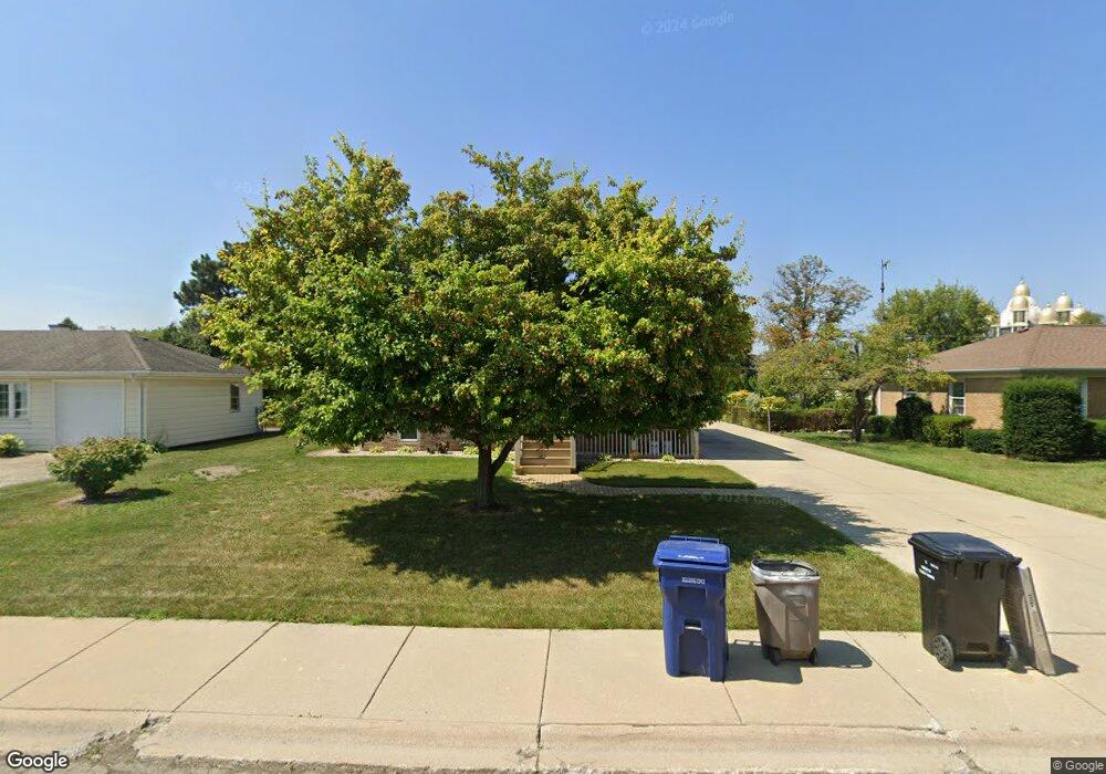
4916 N Pontiac Ave Norridge, IL 60706
Estimated Value: $330,000 - $436,000
3
Beds
2
Baths
898
Sq Ft
$416/Sq Ft
Est. Value
About This Home
This home is located at 4916 N Pontiac Ave, Norridge, IL 60706 and is currently estimated at $373,769, approximately $416 per square foot. 4916 N Pontiac Ave is a home located in Cook County with nearby schools including J Leigh Elementary School, Ridgewood Community High School, and St Eugene School.
Ownership History
Date
Name
Owned For
Owner Type
Purchase Details
Closed on
Feb 27, 2018
Sold by
Thompson Richard D and Kollman Thompson Patricia A
Bought by
Thompson Richard D
Current Estimated Value
Home Financials for this Owner
Home Financials are based on the most recent Mortgage that was taken out on this home.
Original Mortgage
$175,000
Interest Rate
4.37%
Mortgage Type
New Conventional
Create a Home Valuation Report for This Property
The Home Valuation Report is an in-depth analysis detailing your home's value as well as a comparison with similar homes in the area
Home Values in the Area
Average Home Value in this Area
Purchase History
| Date | Buyer | Sale Price | Title Company |
|---|---|---|---|
| Thompson Richard D | -- | Mortgage Connect Lp |
Source: Public Records
Mortgage History
| Date | Status | Borrower | Loan Amount |
|---|---|---|---|
| Closed | Thompson Richard D | $175,000 |
Source: Public Records
Tax History Compared to Growth
Tax History
| Year | Tax Paid | Tax Assessment Tax Assessment Total Assessment is a certain percentage of the fair market value that is determined by local assessors to be the total taxable value of land and additions on the property. | Land | Improvement |
|---|---|---|---|---|
| 2024 | $5,322 | $26,410 | $14,287 | $12,123 |
| 2023 | $5,166 | $26,410 | $14,287 | $12,123 |
| 2022 | $5,166 | $26,410 | $14,287 | $12,123 |
| 2021 | $4,685 | $21,750 | $12,638 | $9,112 |
| 2020 | $4,623 | $21,750 | $12,638 | $9,112 |
| 2019 | $4,613 | $24,411 | $12,638 | $11,773 |
| 2018 | $4,140 | $19,645 | $10,440 | $9,205 |
| 2017 | $4,413 | $21,090 | $10,440 | $10,650 |
| 2016 | $4,890 | $23,320 | $10,440 | $12,880 |
| 2015 | $4,143 | $18,890 | $9,066 | $9,824 |
| 2014 | $5,189 | $23,253 | $9,066 | $14,187 |
| 2013 | $5,069 | $23,253 | $9,066 | $14,187 |
Source: Public Records
Map
Nearby Homes
- 8268 W Lawrence Ave
- 8455 W Lawrence Ave Unit 1D
- 8517 W Carmen Ave
- 4846 N Crescent Ave
- 8500 W Carmen Ave
- 8542 W Winnemac Ave
- 4623 N Chester Ave Unit 110W
- 4624 N Commons Dr Unit 405E
- 4624 N Commons Dr Unit 111E
- 4615 N Maria Ct
- 8423 W Wilson Ave
- 4600 N Cumberland Ave Unit 314
- 8444 W Wilson Ave Unit 312S
- 8025 W Giddings St
- 5020 N Denal St
- 8540 W Foster Ave Unit 605
- 8540 W Foster Ave Unit 504
- 8024 W Charmaine Rd
- 8613 W Foster Ave
- 4938 N Leonard Dr Unit 1B
- 4926 N Pontiac Ave
- 4906 N Pontiac Ave
- 4936 N Pontiac Ave
- 4892 N Pontiac Ave
- 4915 N Cumberland Ave
- 4923 N Cumberland Ave
- 4905 N Cumberland Ave
- 4931 N Cumberland Ave
- 4915 N Pontiac Ave
- 4897 N Cumberland Ave
- 4946 N Pontiac Ave
- 4925 N Pontiac Ave
- 4905 N Pontiac Ave
- 4886 N Pontiac Ave
- 4939 N Cumberland Ave
- 4935 N Pontiac Ave
- 4891 N Cumberland Ave
- 4895 N Pontiac Ave
- 4947 N Cumberland Ave
- 4945 N Pontiac Ave