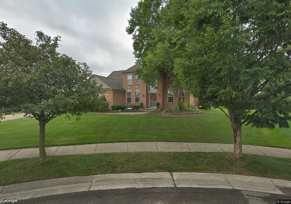
49167 Wooster Ct Unit Bldg-Unit Canton, MI 48188
Estimated Value: $630,658 - $681,000
--
Bed
3
Baths
2,526
Sq Ft
$255/Sq Ft
Est. Value
About This Home
This home is located at 49167 Wooster Ct Unit Bldg-Unit, Canton, MI 48188 and is currently estimated at $644,415, approximately $255 per square foot. 49167 Wooster Ct Unit Bldg-Unit is a home located in Wayne County with nearby schools including Canton High School, Workman Elementary School, and Plymouth High School.
Ownership History
Date
Name
Owned For
Owner Type
Purchase Details
Closed on
Jan 31, 2024
Sold by
Mcgraw Kevin and Mcgraw Kara
Bought by
Ambery Nicholas and Murphy Kira
Current Estimated Value
Home Financials for this Owner
Home Financials are based on the most recent Mortgage that was taken out on this home.
Original Mortgage
$440,000
Outstanding Balance
$432,224
Interest Rate
6.61%
Mortgage Type
New Conventional
Estimated Equity
$212,191
Purchase Details
Closed on
Mar 16, 2018
Sold by
Coleman David H and Coleman Mary A
Bought by
Mcgraw Kevin
Home Financials for this Owner
Home Financials are based on the most recent Mortgage that was taken out on this home.
Original Mortgage
$367,650
Interest Rate
4.38%
Mortgage Type
New Conventional
Create a Home Valuation Report for This Property
The Home Valuation Report is an in-depth analysis detailing your home's value as well as a comparison with similar homes in the area
Home Values in the Area
Average Home Value in this Area
Purchase History
| Date | Buyer | Sale Price | Title Company |
|---|---|---|---|
| Ambery Nicholas | $550,000 | Title Solutions | |
| Ambery Nicholas | $550,000 | Title Solutions | |
| Mcgraw Kevin | $387,000 | Title One Inc |
Source: Public Records
Mortgage History
| Date | Status | Borrower | Loan Amount |
|---|---|---|---|
| Open | Ambery Nicholas | $440,000 | |
| Previous Owner | Mcgraw Kevin | $367,650 |
Source: Public Records
Tax History Compared to Growth
Tax History
| Year | Tax Paid | Tax Assessment Tax Assessment Total Assessment is a certain percentage of the fair market value that is determined by local assessors to be the total taxable value of land and additions on the property. | Land | Improvement |
|---|---|---|---|---|
| 2025 | $4,136 | $298,600 | $0 | $0 |
| 2024 | $4,136 | $264,200 | $0 | $0 |
| 2023 | $3,943 | $235,400 | $0 | $0 |
| 2022 | $8,485 | $225,400 | $0 | $0 |
| 2021 | $8,234 | $217,700 | $0 | $0 |
| 2020 | $8,136 | $214,800 | $0 | $0 |
| 2019 | $7,986 | $194,830 | $0 | $0 |
| 2018 | $2,837 | $190,720 | $0 | $0 |
| 2017 | $6,826 | $188,700 | $0 | $0 |
| 2016 | $6,158 | $192,400 | $0 | $0 |
| 2015 | $15,586 | $173,560 | $0 | $0 |
| 2013 | $15,099 | $170,410 | $0 | $0 |
| 2010 | -- | $138,500 | $87,429 | $51,071 |
Source: Public Records
Map
Nearby Homes
- 48581 Greenwich Cir
- 49635 Courtyard Ln Unit 41
- 2780 Denton Rd
- 2381 Lexington Cir S
- 1798 Pimlico Dr
- 47815 Vistas Circle Dr S
- 3092 Greenwich Ct
- 50256 Maywood
- 47587 Scenic Circle Dr S Unit 68
- 50355 Woodford Dr
- 1039 Truman Dr
- 1938 Scenic Dr
- 3415 Wall St
- 3506 Niagara Ave
- 3591 Times Square Blvd
- 49712 Geddes Rd
- 49592 Garfield Ln Unit 178
- 897 Harrison St
- 49035 Geddes Rd
- 393 Pleasant Ridge Dr
- 49167 Wooster Ct
- 49123 Wooster Ct
- 49212 Wooster Ct
- 49225 Rockefeller Dr
- 49250 Rockefeller Dr
- 49164 Rockefeller Dr
- 49300 Rockefeller Dr
- 49166 Wooster Ct
- 2398 Wooster St
- 49120 Rockefeller Dr
- 2340 Wooster St
- 2055 Liberty St N
- 2039 Liberty St N
- 2369 Wooster St
- 49074 Rockefeller Dr
- 2399 Wooster St
- 2010 Stanton St
- 49301 Rockefeller Dr
- 2009 Liberty St N
- 2341 Wooster St