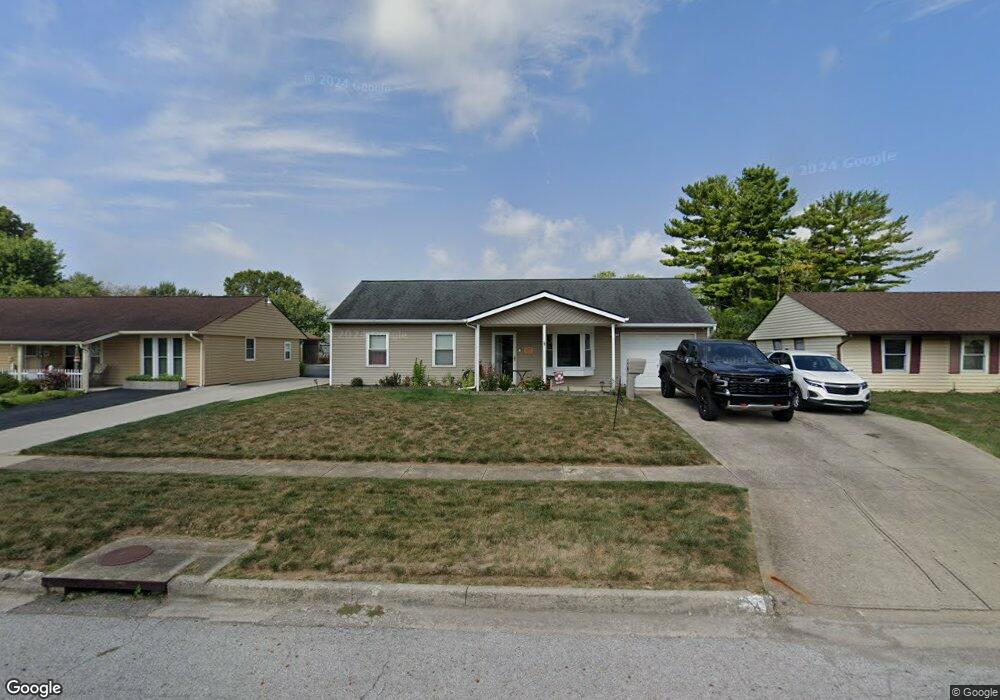
4917 Root St Columbus, OH 43207
Obetz-Lockbourne NeighborhoodEstimated Value: $185,000 - $238,000
3
Beds
1
Bath
925
Sq Ft
$232/Sq Ft
Est. Value
About This Home
This home is located at 4917 Root St, Columbus, OH 43207 and is currently estimated at $214,432, approximately $231 per square foot. 4917 Root St is a home located in Franklin County with nearby schools including Hamilton Elementary School, Hamilton Intermediate School, and Hamilton Middle School.
Ownership History
Date
Name
Owned For
Owner Type
Purchase Details
Closed on
Feb 22, 2002
Sold by
Phillips William J and Phillips Edna F
Bought by
Wright Susan J
Current Estimated Value
Purchase Details
Closed on
Jul 25, 1994
Sold by
Miller Ivan L
Bought by
Phillips William J and Phillips Edna F
Home Financials for this Owner
Home Financials are based on the most recent Mortgage that was taken out on this home.
Original Mortgage
$16,500
Interest Rate
8.38%
Mortgage Type
New Conventional
Purchase Details
Closed on
May 1, 1985
Purchase Details
Closed on
Apr 1, 1980
Create a Home Valuation Report for This Property
The Home Valuation Report is an in-depth analysis detailing your home's value as well as a comparison with similar homes in the area
Home Values in the Area
Average Home Value in this Area
Purchase History
| Date | Buyer | Sale Price | Title Company |
|---|---|---|---|
| Wright Susan J | $89,900 | Chicago Title | |
| Phillips William J | $56,000 | -- | |
| -- | $40,500 | -- | |
| -- | $36,900 | -- |
Source: Public Records
Mortgage History
| Date | Status | Borrower | Loan Amount |
|---|---|---|---|
| Previous Owner | Phillips William J | $16,500 |
Source: Public Records
Tax History
| Year | Tax Paid | Tax Assessment Tax Assessment Total Assessment is a certain percentage of the fair market value that is determined by local assessors to be the total taxable value of land and additions on the property. | Land | Improvement |
|---|---|---|---|---|
| 2025 | $2,648 | $57,960 | $17,500 | $40,460 |
| 2024 | $2,648 | $57,960 | $17,500 | $40,460 |
| 2023 | $2,634 | $57,960 | $17,500 | $40,460 |
| 2022 | $1,624 | $29,960 | $6,160 | $23,800 |
| 2021 | $1,647 | $29,960 | $6,160 | $23,800 |
| 2020 | $1,677 | $29,960 | $6,160 | $23,800 |
| 2019 | $1,574 | $24,920 | $5,110 | $19,810 |
| 2018 | $1,649 | $24,920 | $5,110 | $19,810 |
| 2017 | $1,662 | $24,920 | $5,110 | $19,810 |
| 2016 | $1,839 | $28,430 | $6,270 | $22,160 |
| 2015 | $1,744 | $28,430 | $6,270 | $22,160 |
| 2014 | $1,735 | $28,430 | $6,270 | $22,160 |
| 2013 | $928 | $31,570 | $6,965 | $24,605 |
Source: Public Records
Map
Nearby Homes
- 908 Tecumseh Ave
- 4926 Meadowbrook Dr
- 863 Cherrydale Ave
- 5060 Ranger Dr Unit Lot 87
- 5076 Ranger Dr Unit Lot 100
- 5220 Edgeview Rd
- 1291 Webb Dr Unit Lot 90
- 1307 Webb Dr Unit Lot 92
- 1315 Webb Dr Unit Lot 93
- 4462 Bobby Trail
- 4241 Gelbray Ct
- 5018 Grimm Dr
- 4436 Wesley Trail
- 1132 Ayrshire Dr
- 4410 Holstein Dr
- 4344 Brett Ln
- 4455 Catamaran Dr
- 4412 Catamaran Dr
- 4356 Monterey Ct
- 1962 Reese Ave
Your Personal Tour Guide
Ask me questions while you tour the home.