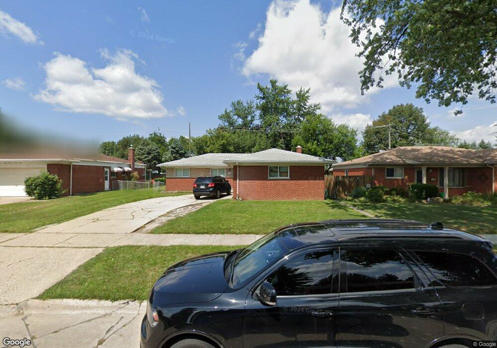
4917 Stanley Ave Warren, MI 48092
Northwest Warren NeighborhoodEstimated Value: $246,000 - $281,046
4
Beds
2
Baths
1,450
Sq Ft
$184/Sq Ft
Est. Value
About This Home
This home is located at 4917 Stanley Ave, Warren, MI 48092 and is currently estimated at $267,512, approximately $184 per square foot. 4917 Stanley Ave is a home located in Macomb County with nearby schools including Lean Elementary School, Beer Middle School, and Warren Mott High School.
Ownership History
Date
Name
Owned For
Owner Type
Purchase Details
Closed on
Aug 9, 2024
Sold by
Islam Balal and Islam Delwar
Bought by
Islam Delwar
Current Estimated Value
Purchase Details
Closed on
Nov 5, 2020
Sold by
Liverpool Property Llc
Bought by
Islam Md Baial and Islam Md Delwar
Home Financials for this Owner
Home Financials are based on the most recent Mortgage that was taken out on this home.
Original Mortgage
$156,000
Interest Rate
2.9%
Mortgage Type
New Conventional
Purchase Details
Closed on
Sep 12, 2019
Sold by
Sr5 Llc
Bought by
Liverpool Property Llc
Purchase Details
Closed on
Feb 20, 2018
Sold by
Mccartney Carol Ann
Bought by
Shamoon Sarmad Z and Shamoon Rana
Purchase Details
Closed on
Sep 22, 2010
Sold by
Shamoon Sonny and Shamoon Rana
Bought by
Sr5 Llc
Create a Home Valuation Report for This Property
The Home Valuation Report is an in-depth analysis detailing your home's value as well as a comparison with similar homes in the area
Home Values in the Area
Average Home Value in this Area
Purchase History
| Date | Buyer | Sale Price | Title Company |
|---|---|---|---|
| Islam Delwar | $35,000 | None Listed On Document | |
| Islam Delwar | $35,000 | None Listed On Document | |
| Islam Md Baial | $195,000 | None Available | |
| Liverpool Property Llc | $195,000 | Halabu Liz | |
| Liverpool Property Llc | $165,000 | None Available | |
| Shamoon Sarmad Z | $60,000 | Liberty Title | |
| Sr5 Llc | -- | None Available |
Source: Public Records
Mortgage History
| Date | Status | Borrower | Loan Amount |
|---|---|---|---|
| Previous Owner | Liverpool Property Llc | $156,000 |
Source: Public Records
Tax History
| Year | Tax Paid | Tax Assessment Tax Assessment Total Assessment is a certain percentage of the fair market value that is determined by local assessors to be the total taxable value of land and additions on the property. | Land | Improvement |
|---|---|---|---|---|
| 2025 | $5,245 | $131,320 | $0 | $0 |
| 2024 | $51 | $118,270 | $0 | $0 |
| 2023 | $4,864 | $101,430 | $0 | $0 |
| 2022 | $4,700 | $91,270 | $0 | $0 |
| 2021 | $4,782 | $86,380 | $0 | $0 |
| 2020 | $5,296 | $79,220 | $0 | $0 |
| 2019 | $3,335 | $70,280 | $0 | $0 |
| 2018 | $0 | $64,220 | $0 | $0 |
| 2017 | $3,271 | $55,520 | $11,070 | $44,450 |
| 2016 | $3,253 | $55,520 | $0 | $0 |
| 2015 | -- | $50,930 | $0 | $0 |
| 2012 | -- | $49,070 | $0 | $0 |
Source: Public Records
Map
Nearby Homes
- 4926 E 12 Mile Rd
- 4772 Marian Ave
- 4829 Wolgast Dr
- 4878 Wolgast Dr
- 4769 Parent Ave
- 29327 Orvylle Dr
- 4453 Thornwood Ct Unit 101
- 29229 van Laan Dr
- 29412 Woodpark Cir
- 28530 Ryan Rd
- 4348 Martin Rd
- 29659 van Laan Dr
- 29900 N Grand Oaks Dr
- 5873 Elmgrove Ave
- 4832 Muriel Dr
- 30055 Boewe Dr
- 28427 Wexford Dr
- 4079 Sudbury Dr
- 5639 Heathdale Ave
- 27443 Strathmoor Dr
- 4799 Stanley Ave
- 4933 Stanley Ave
- 4787 Stanley Ave
- 4949 Stanley Ave
- 4824 E 12 Mile Rd
- 4775 Stanley Ave
- 4936 E 12 Mile Rd
- 4916 Stanley Ave
- 4928 Stanley Ave
- 4798 Stanley Ave
- 4812 E 12 Mile Rd
- 4940 Stanley Ave
- 4786 Stanley Ave
- 4763 Stanley Ave
- 28819 Milton Ave
- 28831 Milton Ave
- 4952 Stanley Ave
- 28845 Milton Ave
- 4790 E 12 Mile Rd
- 4774 Stanley Ave
Your Personal Tour Guide
Ask me questions while you tour the home.