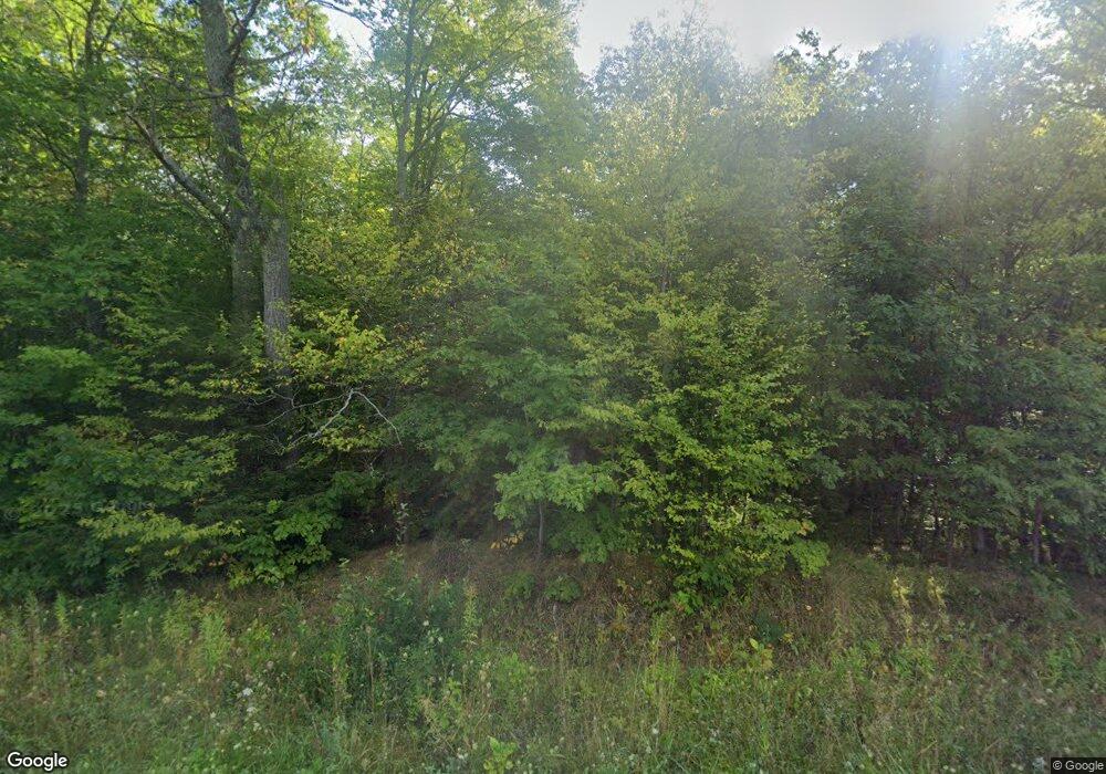
49174 Coal Dock Rd Hancock, MI 49930
Estimated Value: $393,000 - $454,174
--
Bed
--
Bath
2,424
Sq Ft
$175/Sq Ft
Est. Value
About This Home
This home is located at 49174 Coal Dock Rd, Hancock, MI 49930 and is currently estimated at $423,587, approximately $174 per square foot. 49174 Coal Dock Rd is a home with nearby schools including Barkell Elementary School and Hancock Middle/High School.
Ownership History
Date
Name
Owned For
Owner Type
Purchase Details
Closed on
Jul 12, 2022
Sold by
Jouppe Kade and Jouppe Jaycee
Bought by
Sarazin Tyler A
Current Estimated Value
Home Financials for this Owner
Home Financials are based on the most recent Mortgage that was taken out on this home.
Original Mortgage
$30,400
Outstanding Balance
$28,179
Interest Rate
4.61%
Mortgage Type
Construction
Estimated Equity
$395,408
Purchase Details
Closed on
Jun 1, 1998
Bought by
Hallstrom Daniel and Hallstrom Leslie
Create a Home Valuation Report for This Property
The Home Valuation Report is an in-depth analysis detailing your home's value as well as a comparison with similar homes in the area
Home Values in the Area
Average Home Value in this Area
Purchase History
| Date | Buyer | Sale Price | Title Company |
|---|---|---|---|
| Sarazin Tyler A | $40,000 | Keweenaw Title Agcy | |
| Hallstrom Daniel | $4,900 | -- |
Source: Public Records
Mortgage History
| Date | Status | Borrower | Loan Amount |
|---|---|---|---|
| Open | Sarazin Tyler A | $30,400 |
Source: Public Records
Tax History Compared to Growth
Tax History
| Year | Tax Paid | Tax Assessment Tax Assessment Total Assessment is a certain percentage of the fair market value that is determined by local assessors to be the total taxable value of land and additions on the property. | Land | Improvement |
|---|---|---|---|---|
| 2025 | $5,052 | $195,648 | $0 | $0 |
| 2024 | $2,021 | $168,121 | $0 | $0 |
| 2023 | $604 | $48,916 | $0 | $0 |
| 2022 | $592 | $15,916 | $0 | $0 |
| 2021 | $572 | $15,916 | $0 | $0 |
| 2020 | $610 | $15,916 | $0 | $0 |
| 2019 | $588 | $15,916 | $0 | $0 |
| 2018 | $580 | $15,916 | $0 | $0 |
| 2017 | $369 | $15,916 | $0 | $0 |
| 2016 | -- | $10,062 | $0 | $0 |
| 2015 | -- | $10,062 | $0 | $0 |
| 2014 | -- | $10,062 | $0 | $0 |
Source: Public Records
Map
Nearby Homes
- Lot 2 Airport Park Rd Unit Co Rd 35B
- TBD Michigan 26
- 23136 Dogwood Ave
- 21342 Royce Rd
- TBD Portage Cove
- 21703 Peepsock Rd
- 49962 Rosenlund Rd
- 305 Emerald St
- tbd M203
- TBD Lake Annie Cross Cut Rd
- 1001 Birch St
- 24411 Upper Point Mills Rd
- 702 7th Ave
- 809 E Montezuma Ave
- TBD 1a Franklin Tram Rd
- 1005 11th Ave
- 605 Sibley Ave
- 22109 River Trails Rd
- 107 Dodge St
- 401 Dodge St
- 22636 Hilltop Rd
- 49270 Coal Dock Rd
- 49280 Coal Dock Rd
- 22750 Hilltop Rd
- 49273 Coal Dock Rd
- 48949 Coal Dock Rd
- 49089 Coal Dock Rd
- 49089 Coal Dock Rd
- 49322 Coal Dock Rd
- 22759 Hilltop Rd
- 49374 Coal Dock Rd
- 48815 Coal Dock Rd
- 49321 Coal Dock Rd
- 22836 Hilltop Rd
- 48983 Coal Dock Rd
- 22879 Hilltop Rd
- 48789 Coal Dock Rd
- 49455 Coal Dock Rd
- 22673 Hilltop Rd
- 22835 Hilltop Rd
