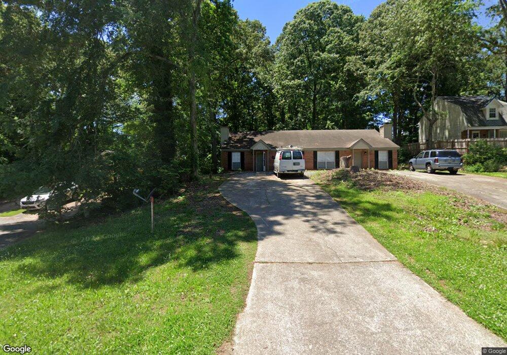
4919 Farmstead Ct NE Unit 4921 AND 4919 Woodstock, GA 30188
Sandy Plains NeighborhoodEstimated Value: $214,000 - $268,000
2
Beds
2
Baths
1,140
Sq Ft
$205/Sq Ft
Est. Value
About This Home
This home is located at 4919 Farmstead Ct NE Unit 4921 AND 4919, Woodstock, GA 30188 and is currently estimated at $233,268, approximately $204 per square foot. 4919 Farmstead Ct NE Unit 4921 AND 4919 is a home located in Cobb County with nearby schools including Nicholson Elementary School, McCleskey Middle School, and Kell High School.
Ownership History
Date
Name
Owned For
Owner Type
Purchase Details
Closed on
May 17, 2022
Sold by
4919 Farmstead Ct Ne Land Trust
Bought by
Fuentes Juan P and Fuentes Jose L
Current Estimated Value
Home Financials for this Owner
Home Financials are based on the most recent Mortgage that was taken out on this home.
Original Mortgage
$148,000
Outstanding Balance
$140,659
Interest Rate
5.3%
Mortgage Type
New Conventional
Estimated Equity
$92,609
Purchase Details
Closed on
Oct 22, 2010
Sold by
Freeman Property Mgmt Llc
Bought by
4919 Farmstead Court Ne Lan Tr
Home Financials for this Owner
Home Financials are based on the most recent Mortgage that was taken out on this home.
Original Mortgage
$83,734
Interest Rate
4.38%
Mortgage Type
Trade
Create a Home Valuation Report for This Property
The Home Valuation Report is an in-depth analysis detailing your home's value as well as a comparison with similar homes in the area
Home Values in the Area
Average Home Value in this Area
Purchase History
| Date | Buyer | Sale Price | Title Company |
|---|---|---|---|
| Fuentes Juan P | $185,000 | Hartley Rowe & Fowler Pc | |
| 4919 Farmstead Court Ne Lan Tr | -- | -- |
Source: Public Records
Mortgage History
| Date | Status | Borrower | Loan Amount |
|---|---|---|---|
| Open | Fuentes Juan P | $148,000 | |
| Previous Owner | 4919 Farmstead Court Ne Lan Tr | $83,734 |
Source: Public Records
Tax History Compared to Growth
Tax History
| Year | Tax Paid | Tax Assessment Tax Assessment Total Assessment is a certain percentage of the fair market value that is determined by local assessors to be the total taxable value of land and additions on the property. | Land | Improvement |
|---|---|---|---|---|
| 2024 | $2,491 | $82,612 | $24,000 | $58,612 |
| 2023 | $2,179 | $72,272 | $18,000 | $54,272 |
| 2022 | $2,023 | $66,652 | $16,000 | $50,652 |
| 2021 | $1,422 | $46,856 | $12,000 | $34,856 |
| 2020 | $1,374 | $45,280 | $8,000 | $37,280 |
| 2019 | $1,374 | $45,280 | $8,000 | $37,280 |
| 2018 | $1,047 | $34,492 | $8,000 | $26,492 |
| 2017 | $935 | $32,528 | $8,000 | $24,528 |
| 2016 | $691 | $24,052 | $4,800 | $19,252 |
| 2015 | $649 | $22,040 | $4,800 | $17,240 |
| 2014 | $655 | $22,040 | $0 | $0 |
Source: Public Records
Map
Nearby Homes
- 5142 Farm Place Dr NE
- 639 Tigers Eye Terrace
- 4793 Moonstone Trace
- 4785 Moonstone Trace
- 4669 Blue Topaz Trail
- The Gavin E Plan at The Village at Shallowford - Signature Series
- The Marion A Plan at The Village at Shallowford - Classic Series
- The Cary A Plan at The Village at Shallowford - Classic Series
- 4778 Moonstone Trace
- 707 Smokey Quartz Way
- 710 Smokey Quartz Way
- 694 Smokey Quartz Way
- 4785 Moonstone NE
- 703 Smokey Quartz Way
- 706 Smokey Quartz Way
- 702 Smokey Quartz Way
- 4919 Farmstead Ct NE
- 4921 Farmstead Ct NE Unit 4921 AND 4919
- 4921 Farmstead Ct NE
- 4917 Farmstead Ct NE
- 4915 Farmstead Ct NE
- 4923 Farmstead Ct NE
- 4925 Farmstead Ct NE
- 4913 Farmstead Ct NE
- 4927 Farmstead Ct NE
- 715 Walt Ln NE
- 4911 Farmstead Ct NE
- 713 Walt Ln NE
- 4929 Farmstead Ct NE
- 5107 Hill Farm Dr NE
- 4922 Farmstead Ct NE
- 5105 Hill Farm Dr NE
- 5105 Hill Farm Dr NE
- 5109 Hill Farm Dr NE
- 4920 Farmstead Ct NE
- 5106 Hill Farm Dr NE Unit 5106