4919 Shepherd Creek Rd Cincinnati, OH 45223
East Monfort Heights NeighborhoodEstimated Value: $173,000 - $658,000
2
Beds
4
Baths
3,325
Sq Ft
$146/Sq Ft
Est. Value
About This Home
This home is located at 4919 Shepherd Creek Rd, Cincinnati, OH 45223 and is currently estimated at $484,887, approximately $145 per square foot. 4919 Shepherd Creek Rd is a home located in Hamilton County with nearby schools including Mt. Airy Elementary School, Western Hills High School, and Gilbert A. Dater High School.
Ownership History
Date
Name
Owned For
Owner Type
Purchase Details
Closed on
May 14, 2012
Sold by
Myers Robert W and Myers Kathleen M
Bought by
Myers Robert W and Myers Kathleen M
Current Estimated Value
Purchase Details
Closed on
May 19, 2011
Sold by
Stone Gary
Bought by
Stone Gary
Purchase Details
Closed on
Apr 8, 2008
Sold by
Stone Diana
Bought by
Stone Gary W
Purchase Details
Closed on
Mar 29, 2006
Sold by
Dreyer Edward J and Dreyer Deborah K
Bought by
Stone Diana
Purchase Details
Closed on
Nov 4, 1996
Sold by
Dreyer Evelyn H
Bought by
Dreyer Edward J and Dreyer Deborah K
Purchase Details
Closed on
Oct 6, 1994
Sold by
Meyer Milda
Bought by
Dreyer Evelyn H and Dreyer Edward G
Create a Home Valuation Report for This Property
The Home Valuation Report is an in-depth analysis detailing your home's value as well as a comparison with similar homes in the area
Home Values in the Area
Average Home Value in this Area
Purchase History
| Date | Buyer | Sale Price | Title Company |
|---|---|---|---|
| Myers Robert W | -- | Attorney | |
| Stone Gary | -- | Attorney | |
| Stone Gary W | -- | None Available | |
| Stone Diana | $100,000 | None Available | |
| Dreyer Edward J | $100,000 | -- | |
| Dreyer Evelyn H | -- | -- |
Source: Public Records
Tax History Compared to Growth
Tax History
| Year | Tax Paid | Tax Assessment Tax Assessment Total Assessment is a certain percentage of the fair market value that is determined by local assessors to be the total taxable value of land and additions on the property. | Land | Improvement |
|---|---|---|---|---|
| 2024 | $11,242 | $189,298 | $52,133 | $137,165 |
| 2023 | $11,421 | $189,298 | $52,133 | $137,165 |
| 2022 | $11,426 | $156,762 | $46,711 | $110,051 |
| 2021 | $10,429 | $156,762 | $46,711 | $110,051 |
| 2020 | $10,521 | $156,762 | $46,711 | $110,051 |
| 2019 | $10,459 | $139,965 | $41,706 | $98,259 |
| 2018 | $10,478 | $128,863 | $41,706 | $87,157 |
| 2017 | $9,266 | $128,863 | $41,706 | $87,157 |
| 2016 | $15,623 | $214,890 | $124,719 | $90,171 |
| 2015 | $14,483 | $214,890 | $124,719 | $90,171 |
| 2014 | $9,162 | $135,135 | $124,719 | $10,416 |
| 2013 | $8,907 | $136,500 | $125,979 | $10,521 |
Source: Public Records
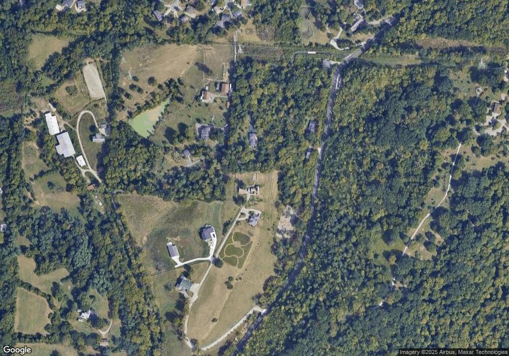
Map
Nearby Homes
- 4771 Shepherd Creek Rd
- 2928 Orchardpark Dr
- 2830 Parkwalk Dr
- 5364 Orchardvalley Dr
- 5315 Orchardridge Ct
- 5350 Orchardcreek Ct
- 2969 Orchardtree Ct
- 2912 Orchardknoll Ct
- 2773 W North Bend Rd
- 5365 Orchardcreek Ct
- 2949 N Bend Rd
- 5360 Colerain Ave
- 3076 Hoock Ct
- 2601 Kathleen Ct
- 3072 N Bend Rd
- 0 Samver Rd Unit 1841558
- 5473 Brigade Ct
- 5459 Kirby Ave
- 0 N Bend Rd
- 5610 Samver Rd
- 4917 Shepherd Creek Rd
- 4875 Shepherd Creek Rd
- 4985 Shepherd Creek Rd
- 4891 Shepherd Creek Rd
- 5021 Shepherd Creek Rd
- 4871 Shepherd Creek Rd
- 5204 Horizonvue Dr
- 2735 Bristol Hill Ct
- 2739 Bristol Hill Ct
- 5200 Horizonvue Dr
- 2734 Bristol Hill Ct
- 5208 Horizonvue Dr
- 2745 Bristol Hill Ct
- 5075 Shepherd Creek Rd
- 5212 Horizonvue Dr
- 5201 Horizonvue Dr
- 2738 Bristol Hill Ct
- 2742 Bristol Hill Ct
- 2751 Bristol Hill Ct
- 5205 Horizonvue Dr