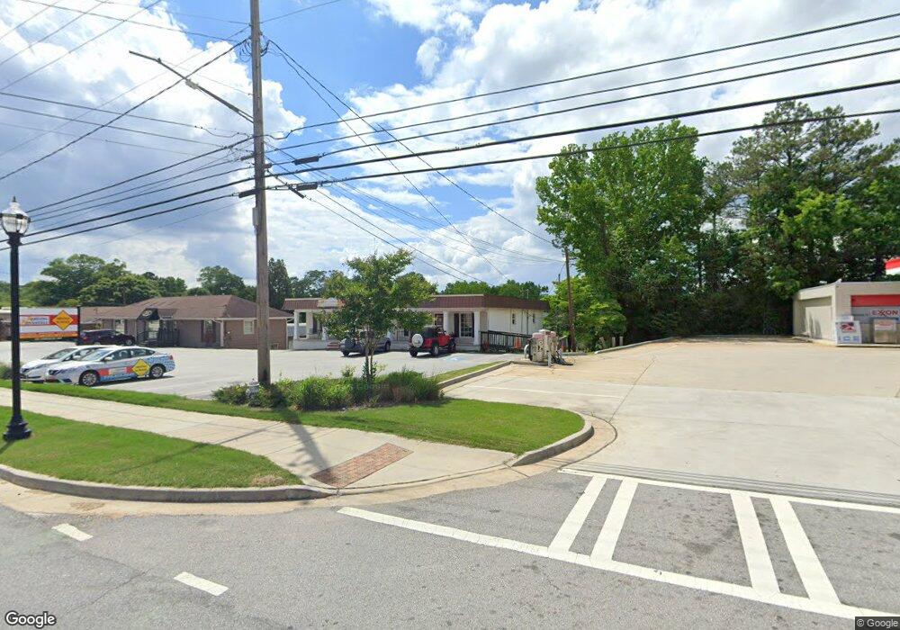
492 Bankhead Hwy Carrollton, GA 30117
Estimated Value: $150,000 - $225,000
3
Beds
1
Bath
1,248
Sq Ft
$164/Sq Ft
Est. Value
About This Home
This home is located at 492 Bankhead Hwy, Carrollton, GA 30117 and is currently estimated at $205,255, approximately $164 per square foot. 492 Bankhead Hwy is a home located in Carroll County with nearby schools including Carrollton Elementary School, Carrollton Upper Elementary School, and Carrollton Middle School.
Ownership History
Date
Name
Owned For
Owner Type
Purchase Details
Closed on
Apr 19, 2024
Sold by
Eady Renee
Bought by
Mwmw Holdings Llc
Current Estimated Value
Purchase Details
Closed on
Sep 28, 2007
Sold by
Johnson James
Bought by
Eady Renee
Purchase Details
Closed on
Nov 18, 2004
Sold by
Mortgage Electronic Registrati
Bought by
Johnson James
Purchase Details
Closed on
Aug 3, 2004
Sold by
Ransby Barry
Bought by
Mortgage Electronic Registration
Purchase Details
Closed on
Jun 24, 1998
Sold by
Heath Carrie L
Bought by
Ransby Barry
Purchase Details
Closed on
Jul 1, 1978
Bought by
Heath
Create a Home Valuation Report for This Property
The Home Valuation Report is an in-depth analysis detailing your home's value as well as a comparison with similar homes in the area
Home Values in the Area
Average Home Value in this Area
Purchase History
| Date | Buyer | Sale Price | Title Company |
|---|---|---|---|
| Mwmw Holdings Llc | $225,000 | -- | |
| Eady Renee | $135,000 | -- | |
| Johnson James | $54,000 | -- | |
| Johnson James | $54,000 | -- | |
| Mortgage Electronic Registration | $38,700 | -- | |
| Ransby Barry | -- | -- | |
| Heath | -- | -- |
Source: Public Records
Tax History Compared to Growth
Tax History
| Year | Tax Paid | Tax Assessment Tax Assessment Total Assessment is a certain percentage of the fair market value that is determined by local assessors to be the total taxable value of land and additions on the property. | Land | Improvement |
|---|---|---|---|---|
| 2024 | $1,008 | $44,556 | $6,000 | $38,556 |
| 2023 | $1,008 | $41,118 | $6,000 | $35,118 |
| 2022 | $864 | $34,440 | $6,000 | $28,440 |
| 2021 | $780 | $30,426 | $6,000 | $24,426 |
| 2020 | $719 | $28,018 | $6,000 | $22,018 |
| 2019 | $680 | $26,267 | $6,000 | $20,267 |
| 2018 | $635 | $24,182 | $6,000 | $18,182 |
| 2017 | $637 | $24,182 | $6,000 | $18,182 |
| 2016 | $690 | $26,182 | $8,000 | $18,182 |
| 2015 | $643 | $22,992 | $8,000 | $14,993 |
| 2014 | $646 | $22,993 | $8,000 | $14,993 |
Source: Public Records
Map
Nearby Homes
- 119 Oxford Square
- 114 Green Point Way
- 123 Autumn Glen Dr
- 201 Stewart St
- 325 Almon Rd
- 120 Stewart St
- 322 Cedar St
- 541 N White St Unit 12
- 541 N White St
- 123 Cedar Park Way
- 111 Lakeview Dr
- 0 Burns Rd Unit LOT 2 10571612
- 0 Burns Rd Unit LOT 3 10571635
- 0 Burns Rd Unit LOT 1 10571595
- 0 Burns Rd Unit 148013
- 777 College St
- 114 Bennett Cir
- 0 Carroll Cir Unit LOTS 4-8 10571562
- 403 Burns Rd
- 150 Cedar Park Way
- 395 Bankhead Hwy
- 110 Commercial Ave
- 486 Bankhead Hwy
- 110 #A Commercial Dr
- 401 Bankhead Hwy
- 111 Commercial Ave
- 109 Commercial Ave
- 119 Orchard St
- 101 Oxford Square
- 101 Oxford Square
- 105 Oxford Square
- 525 Bankhead Hwy Unit 523
- 525 Bankhead Hwy Unit 513
- 107 Oxford Square
- 100 Deese Ct
- 100 Deese Ct Unit 20
- 151 Pine Knoll Dr
- 117 Orchard St
- 102 Deese Ct
- 0 Oxford Square Unit 7083309