Estimated Value: $215,000 - $392,156
Studio
2
Baths
1,960
Sq Ft
$158/Sq Ft
Est. Value
About This Home
This home is located at 492 C Swick Cir, Lyons, GA 30436 and is currently estimated at $308,719, approximately $157 per square foot. 492 C Swick Cir is a home located in Toombs County with nearby schools including Toombs County High School.
Ownership History
Date
Name
Owned For
Owner Type
Purchase Details
Closed on
May 8, 2013
Sold by
Burakowski Anthony S
Bought by
Burakowski Anthony S and Burakowski Thyra
Current Estimated Value
Home Financials for this Owner
Home Financials are based on the most recent Mortgage that was taken out on this home.
Original Mortgage
$132,000
Outstanding Balance
$92,403
Interest Rate
3.44%
Mortgage Type
New Conventional
Estimated Equity
$216,316
Purchase Details
Closed on
Jun 1, 2009
Sold by
Burakowski Thyra
Bought by
Burakowski Anthony S
Home Financials for this Owner
Home Financials are based on the most recent Mortgage that was taken out on this home.
Original Mortgage
$137,000
Interest Rate
4.77%
Mortgage Type
New Conventional
Purchase Details
Closed on
Nov 26, 1999
Sold by
Swick Chris T and Swick Jenn
Bought by
Burakowski Anthony
Purchase Details
Closed on
Feb 19, 1993
Bought by
Swick Chris T and Swick Jenn
Create a Home Valuation Report for This Property
The Home Valuation Report is an in-depth analysis detailing your home's value as well as a comparison with similar homes in the area
Home Values in the Area
Average Home Value in this Area
Purchase History
| Date | Buyer | Sale Price | Title Company |
|---|---|---|---|
| Burakowski Anthony S | -- | -- | |
| Burakowski Anthony S | -- | -- | |
| Burakowski Anthony | $149,000 | -- | |
| Swick Chris T | $65,000 | -- |
Source: Public Records
Mortgage History
| Date | Status | Borrower | Loan Amount |
|---|---|---|---|
| Open | Burakowski Anthony S | $132,000 | |
| Previous Owner | Burakowski Anthony S | $137,000 |
Source: Public Records
Tax History
| Year | Tax Paid | Tax Assessment Tax Assessment Total Assessment is a certain percentage of the fair market value that is determined by local assessors to be the total taxable value of land and additions on the property. | Land | Improvement |
|---|---|---|---|---|
| 2025 | $11 | $132,314 | $55,393 | $76,921 |
| 2024 | $15 | $132,314 | $55,393 | $76,921 |
| 2023 | $1 | $110,620 | $37,166 | $73,454 |
| 2022 | $1 | $102,379 | $37,166 | $65,213 |
| 2021 | $1,907 | $78,420 | $26,417 | $52,003 |
| 2020 | $1,838 | $75,600 | $26,330 | $49,270 |
| 2019 | $1,840 | $75,655 | $26,330 | $49,325 |
| 2018 | $1,840 | $75,655 | $26,330 | $49,325 |
| 2017 | $1,101 | $73,389 | $26,330 | $47,059 |
| 2016 | $1,259 | $73,446 | $26,330 | $47,116 |
| 2015 | -- | $65,704 | $26,330 | $39,375 |
| 2014 | -- | $65,705 | $26,330 | $39,375 |
Source: Public Records
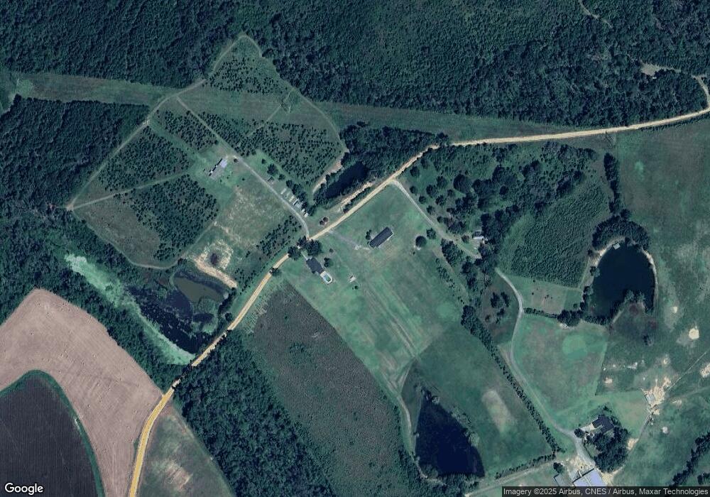
Map
Nearby Homes
- 0 Victory Cir Unit 23870
- 0 Victory Cir Unit 10657838
- 686 Victory Cir
- 105 Skyline Blvd
- 177 Skyline Blvd
- 0 Mclemore St Unit 10678733
- 614 N Victory Dr
- 0 N Washington St
- 172 W Leo Trapnell Ave
- 0 Cascade Dr Unit 10498808
- 2056 Old Normantown Rd
- 288 N Lanier St
- 133 Brooklyn Place
- 0 Hilton Ct Unit 10498788
- 1430 John Wilkes Rd
- 0 N State St Unit 26009
- 169 Ext N Jefferson St
- 306 W Wesley Ave
- 253 McDilda Dr
- 130 S Washington St
Your Personal Tour Guide
Ask me questions while you tour the home.