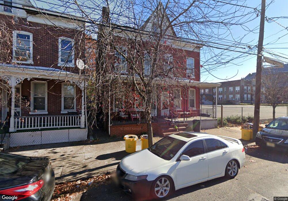
492 Chestnut Ave Trenton, NJ 08611
Chambersburg NeighborhoodEstimated Value: $214,000 - $254,000
--
Bed
--
Bath
1,680
Sq Ft
$140/Sq Ft
Est. Value
About This Home
This home is located at 492 Chestnut Ave, Trenton, NJ 08611 and is currently estimated at $235,854, approximately $140 per square foot. 492 Chestnut Ave is a home located in Mercer County with nearby schools including P.J. Hill Elementary School, Grant Elementary School, and Grace A Dunn Middle School.
Ownership History
Date
Name
Owned For
Owner Type
Purchase Details
Closed on
May 27, 2025
Sold by
Sutphin Carole A and Sutphin Andrew
Bought by
Sutphin Latisha
Current Estimated Value
Home Financials for this Owner
Home Financials are based on the most recent Mortgage that was taken out on this home.
Original Mortgage
$160,000
Outstanding Balance
$159,591
Interest Rate
6.83%
Mortgage Type
New Conventional
Estimated Equity
$76,263
Purchase Details
Closed on
Mar 21, 2005
Purchase Details
Closed on
Nov 30, 2000
Sold by
Andrusiewicz Linda
Bought by
Sutphin Charles and Sutphin Latisha
Home Financials for this Owner
Home Financials are based on the most recent Mortgage that was taken out on this home.
Original Mortgage
$68,964
Interest Rate
7.64%
Mortgage Type
FHA
Create a Home Valuation Report for This Property
The Home Valuation Report is an in-depth analysis detailing your home's value as well as a comparison with similar homes in the area
Home Values in the Area
Average Home Value in this Area
Purchase History
| Date | Buyer | Sale Price | Title Company |
|---|---|---|---|
| Sutphin Latisha | $200,000 | Emerald Title | |
| Sutphin Latisha | $200,000 | Emerald Title | |
| -- | -- | -- | |
| Sutphin Charles | $69,000 | -- |
Source: Public Records
Mortgage History
| Date | Status | Borrower | Loan Amount |
|---|---|---|---|
| Open | Sutphin Latisha | $160,000 | |
| Closed | Sutphin Latisha | $160,000 | |
| Previous Owner | Sutphin Charles | $68,964 |
Source: Public Records
Tax History Compared to Growth
Tax History
| Year | Tax Paid | Tax Assessment Tax Assessment Total Assessment is a certain percentage of the fair market value that is determined by local assessors to be the total taxable value of land and additions on the property. | Land | Improvement |
|---|---|---|---|---|
| 2025 | $3,718 | $64,100 | $11,000 | $53,100 |
| 2024 | $3,568 | $64,100 | $11,000 | $53,100 |
| 2023 | $3,568 | $64,100 | $11,000 | $53,100 |
| 2022 | $3,499 | $64,100 | $11,000 | $53,100 |
| 2021 | $3,559 | $64,100 | $11,000 | $53,100 |
| 2020 | $3,548 | $64,100 | $11,000 | $53,100 |
| 2019 | $3,491 | $64,100 | $11,000 | $53,100 |
| 2018 | $3,342 | $64,100 | $11,000 | $53,100 |
| 2017 | $3,176 | $64,100 | $11,000 | $53,100 |
| 2016 | $3,268 | $56,800 | $17,700 | $39,100 |
| 2015 | $3,256 | $56,800 | $17,700 | $39,100 |
| 2014 | $3,241 | $56,800 | $17,700 | $39,100 |
Source: Public Records
Map
Nearby Homes
- 127 Kent St
- 238 Bayard St
- 315 Hudson St
- 407 Hudson St
- 331 Tyler St
- 284 Hamilton Ave
- 225 Franklin St
- 113 Mifflin St
- 503 Tyler St
- 15 Mckinley Ave
- 234 Tyler St
- 11 Cummings Ave
- 504 Tyler St
- 150 Ashmore Ave
- 826 S Clinton Ave
- 212 Commonwealth Ave
- 115 Pearl St
- 320 Commonwealth Ave
- 318 S Clinton Ave
- 162 Hamilton Ave